The Best Camping in Connelly Springs
Looking for the best camping in Connelly Springs? We've got you covered with the top trails, trips, hiking, backpacking, camping and more around Connelly Springs. The detailed guides, photos, and reviews are all submitted by the Outbound community.
Top camping spots in and near Connelly Springs
-
Connelly Springs, North Carolina
Little River to Upper CCC to Horseridge to Upper Falls Loop
11.87 mi / 1896 ft gainLittle River to Upper CCC to Horseridge to Upper Falls Loop is a loop trail where you may see local wildlife located near Connelly Springs, North Carolina.Read more -
3001 South Mountain Park, North Carolina
Shinny Creek Loop Trail
6.72 mi / 1480 ft gainShinny Creek Loop Trail is a loop trail that takes you by a river located near Connelly Springs, North Carolina.Read more -
Connelly Springs, North Carolina
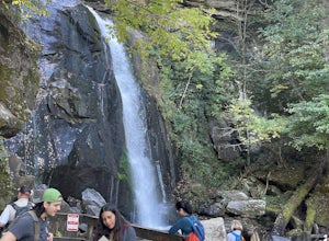
High Shoals Waterfall and H.Q. Loop Trail
4.83 mi / 1043 ft gainHigh Shoals Waterfall and H.Q. Loop Trail is a loop trail that takes you by a waterfall located near Connelly Springs, North Carolina.Read more -
Connelly Springs, North Carolina
Backpack to Sawtooth Campground in South Mountains SP
8.5 mi / 1500 ft gainThis 8.5-mile total trip will take you through the highlights of South Mountains State Park with an overnight stay in one of the drier campsites. You'll start with a 2.7 mile loop that you can do sans packs before picking up with a 3-mile each way out-and-back. Begin by parking at the large par...Read more -
Collettsville, North Carolina
North Harper Creek, Kawana Road, Harper Creek, and Raider Camp Creek Trail Loop
16.44 mi / 2877 ft gainNorth Harper Creek, Kawana Road, Harper Creek, and Raider Camp Creek Trail Loop is a loop trail that takes you by a waterfall located near Collettsville, North Carolina.Read more -
Collettsville, North Carolina
Harper Creek Falls Trail
2.81 mi / 486 ft gainHarper Creek Falls Trail is an out-and-back trail that takes you by a waterfall located near Collettsville, North Carolina.Read more -
Morganton, North Carolina
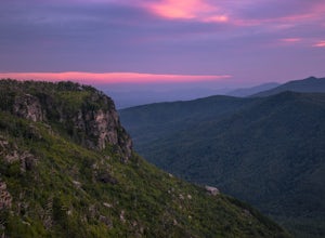
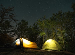
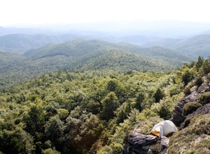
Camp on Shortoff Mountain in the Linville Gorge
5.0The Linville Gorge Wilderness Area, also known as the Grand Canyon of the East, is one of the wildest, most rugged gorges in the eastern United States. It's also an outdoor paradise for hikers and backpackers. Camping here is always a treat and you are sure to enjoy your time spent in the gorge.D...Read more -
Linville, North Carolina
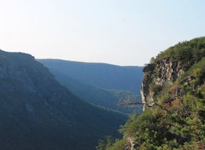
Shortoff Mountain Summit
4.84.64 mi / 1178 ft gainStart your hike from the Shortoff Mountain Trail off of Wolf Pit Road at the base of Lake James. From the summit there is a small grassy area off a side trail that provided awesome cliff side views of the Gorge and Linville River! You can setup after making the hour and a half trek (maybe just in...Read more -
Morganton, North Carolina
The Chimneys
1.67 mi / 233 ft gainThe Chimneys is an out-and-back trail where you may see beautiful wildflowers located near Morganton, North Carolina.Read more -
Morganton, North Carolina
Camp at the Chimneys in the Linville Wilderness
5.01 mi / 138 ft gainThe Chimneys area is a lesser-known camping destination within the Linville Wilderness. The Chimneys are a series of rock formations that rise above Linville Gorge and provide unobstructed panoramic views of the gorge and surrounding mountains. These rocks sit adjacent to Table Rock which hosts w...Read more -
Morganton, North Carolina
Spence Ridge Trail
2.75 mi / 817 ft gainSpence Ridge Trail is an out-and-back trail that takes you by a river located near Morganton, North Carolina.Read more -
Newland, North Carolina
Greentown Trail
7.53 mi / 1798 ft gainGreentown Trail is an out-and-back trail that takes you by a waterfall located near Newland, North Carolina.Read more -
Morganton, North Carolina
Hawksbill Mountain Trail
4.91.87 mi / 633 ft gainHidden far above the beautiful Linville Gorge stands Hawksbill Mountain, among many other fantastic hikes. The roughly 1.7 mile hike from the dusty gravel parking lot is steep but worth every step. It took me about an hour to conquer with a few water bottle-guzzling stops. At the top, you are al...Read more -
Morganton, North Carolina
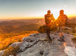
Photograph Hawksbill Mountain at Sunrise or Sunset
5.01.5 mi / 860 ft gainThe trail to the summit of Hawksbill begins on an unpaved road for the Pigsah National Forest. In about a half a mile the trail turns left just before reaching the Jonas Ridge Trail. This turn is an clearly marked turn with a sign for "Hawksbill Summit". The trail then becomes steeper and rocki...Read more -
Marion, North Carolina
Camp in the Linville Gorge via the Pinch In Trail
1.5 miWe are pretty notorious for passing up a good campsite but we are learning our lessons. We got a late but interesting start on Pinch-In trail. We climbed down a steep 600+ feet after passing this ledge only to climb right back to it a third of a mile in. If we come up to an awesome spot, we somet...Read more -
Marion, North Carolina
Hike the Rock Jock Trail
6 mi / 700 ft gainOne of the first things I noticed when researching this hike was the conflicting information regarding finding the trail head, length of the hike, and the hike's correct route. Hopefully, as of September 2017, this report will contain the most up-to-date information currently available. To find t...Read more


