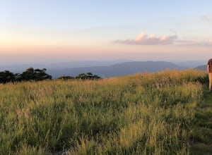
The Best Camping in Tellico Plains
Looking for the best camping in Tellico Plains? We've got you covered with the top trails, trips, hiking, backpacking, camping and more around Tellico Plains. The detailed guides, photos, and reviews are all submitted by the Outbound community.
Top camping spots in and near Tellico Plains
-
Tellico Plains, Tennessee
Bald River Trail
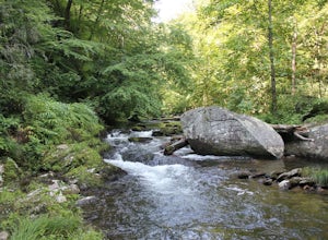
9.34 mi / 1371 ft gainBald River Trail is an out-and-back trail that takes you by a waterfall located near Tellico Plains, Tennessee.Read more -
Tellico Plains, Tennessee
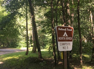
Camp at North River Campground and Dispersed Campsites
North River Road is located in the Nantahala National Forest near Tellico Plains. To get to North River Campground you can either drive up the Cherohala Skyway about 6 miles then turn when you see the sign for the campground and bald river falls. Another way to get to the campsites along North Ri...Read more -
Tellico Plains, Tennessee
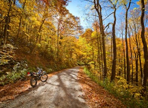
Explore North River Road
4.7If you're looking to get off the beaten path and take the road less traveled, North River Road is your ticket to solitude.A popular loop for the locals is starting on Tellico River Road, then getting on North River Road to make your way up the mountain all the way to the Cherohala Skyway. Take th...Read more -
Vonore, Tennessee
Camp at Citico Creek
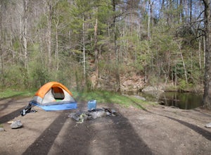
5.0There are a few options for getting to Citico Creek, you can either go up the windy gravel road from US 411 or get off of the Cherohala Skyway and go down the mountain past the Indian Boundary campground. The Citico Creek campground has about 5 or 6 spots but is rarely full because it is very sec...Read more -
Joyce Kilmer-Slickrock Wilderness, North Carolina
Backpack Slickrock Creek Trail #42
30 mi / 3700 ft gain8:30 a.m. and we’re winding our way down Highway 129 near Robbinsville, NC. The fog is still thick over the Little Tennessee River as we slow down crossing the bridge into Graham County. “I think we missed it,” I say as we continue onward. Within minutes the Tapoco Lodge comes into view. My pre-h...Read more -
Robbinsville, North Carolina
Hangover Lead Trail
5.76 mi / 2034 ft gainHangover Lead Trail is an out-and-back trail that takes you past scenic surroundings located near Robbinsville, North Carolina.Read more -
Robbinsville, North Carolina
Hike the Big Fat Gap Trail
12 mi / 3000 ft gainThere are many trailheads leading into the wilderness on either the Tennessee or North Carolina side. My favorite is the Big Fat Gap trail on the North Carolina side at an elevation of 3,060'. To see the best of what this area has to offer take the Hangover Lead South Trail to the 5,180' Hangover...Read more -
Robbinsville, North Carolina
Joyce Kilmer Memorial Forest Loop Trail
1.96 mi / 407 ft gainJoyce Kilmer Memorial Forest Loop Trail is a loop trail where you may see beautiful wildflowers located near Robbinsville, North Carolina.Read more -
Robbinsville, North Carolina
Ike Branch Trail
6.07 mi / 1368 ft gainIke Branch Trail is an out-and-back trail that takes you by a waterfall located near Robbinsville, North Carolina.Read more -
Benton, Tennessee
Benton Falls Trail
3.07 mi / 282 ft gainBenton Falls Trail is an out-and-back trail that takes you by a waterfall located near Reliance, Tennessee.Read more -
Copperhill, Tennessee
Big Frog Trail
10.81 mi / 2828 ft gainBig Frog Trail is an out-and-back trail that takes you by a river located near Copperhill, Tennessee.Read more -
Robbinsville, North Carolina
Twentymile Loop Trail
7.68 mi / 1578 ft gainTwentymile Loop Trail is a loop trail that takes you by a lake located near Bryson City, North Carolina.Read more -
Robbinsville, North Carolina
Rich Gap via Long Hungry Ridge Trail
7.52 mi / 3350 ft gainRich Gap via Long Hungry Ridge Trail is a point-to-point trail that takes you by a river located near Fontana Dam, North Carolina.Read more -
Robbinsville, North Carolina
Wolf Ridge Trail to Gregory Bald
7.16 mi / 3661 ft gainWolf Ridge Trail to Gregory Bald is a point-to-point trail that takes you by a river located near Robbinsville, North Carolina.Read more -
Robbinsville, North Carolina
Gregory Bald via Twentymile
4.015.42 mi / 3694 ft gainGregory Bald via Twentymile is a loop trail where you may see beautiful wildflowers located near Robbinsville, North Carolina.Read more -
Robbinsville, North Carolina
Hazel Creek and Bone Valley Trail
40.79 mi / 7749 ft gainHazel Creek and Bone Valley Trail is an out-and-back trail that takes you by a lake located near Robbinsville, North Carolina.Read more


