The Best Hiking in Inyo County
Looking for the best hiking in Inyo County? We've got you covered with the top trails, trips, hiking, backpacking, camping and more around Inyo County. The detailed guides, photos, and reviews are all submitted by the Outbound community.
Top hiking spots in and near Inyo County
-
Inyo County, California
Willow Canyon Trail
4.18 mi / 1033 ft gainWillow Canyon Trail is an out-and-back trail that takes you past scenic surroundings located near Death Valley, California.Read more -
Inyo County, California
Coffin Peak
2.59 mi / 358 ft gainCoffin Peak Trail is an out-and-back trail that takes you past scenic surroundings located near Death Valley, California.Read more -
Inyo County, California
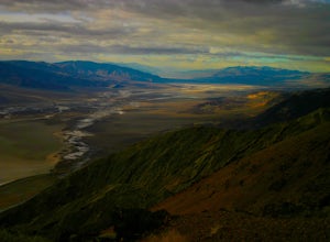
Photograph Dante's View of Death Valley
4.7In all of Death Valley National Park, Dante's View might just be the best spot to watch the light fade away after a long day. Unfortunately, it is one of the highly missed spots along the Highway 190 Death Valley route. This might be due to the fact that it is about 15 miles off of the highway, b...Read more -
Inyo County, California
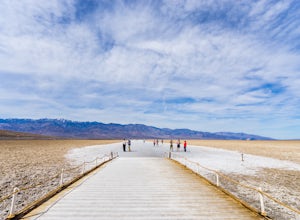
Badwater Basin's Salt Flats
4.61.92 mi / 43 ft gainTaking a walk on the salt flats at Badwater Basin is like no other experience in Death Valley National Park. These flats cover nearly 200 square miles across the park, which makes them one of the world’s largest protected salt flats. With an elevation of 282 feet below sea level, Badwater Basin i...Read more -
Inyo County, California
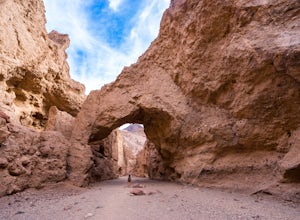
Natural Bridge Canyon
4.71.39 mi / 518 ft gainNatural Bridge Canyon is one of the few canyons in Death Valley with an official trailhead that can be easily accessed from the parking lot. You’ll find the trailhead off Highway 178, just 4 miles south of the Artist’s Drive scenic loop. The hike is nice and easy and great for families or large ...Read more -
Inyo County, California
Death Valley Natural Bridge
4.46 mi / 1152 ft gainDeath Valley Natural Bridge Trail is an out-and-back trail where you may see beautiful wildflowers located near Death Valley, California.Read more -
Furnace Creek, California
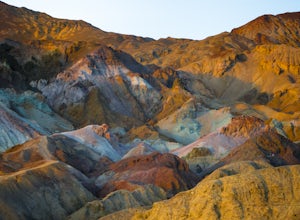
Artist's Palette
4.00.4 mi / 89 ft gainLet’s just start this off by saying, PREPARE FOR THE HEAT. Death Valley has the highest recorded temperature on earth at over 130 degrees Fahrenheit. If you are planning to visit in the summer…be ready. Luckily, Artist’s Palette is not far from the parking the area and the saving grace of Ai...Read more -
Furnace Creek, California
Desolation Canyon Trail
3.59 mi / 722 ft gainDesolation Canyon Trail is an out-and-back trail where you may see beautiful wildflowers located near Death Valley, California.Read more -
Furnace Creek, California
Golden Canyon and Gower Gulch Loop via Zabriskie Point
5.85 mi / 1056 ft gainGolden Canyon and Gower Gulch Loop via Zabriskie Point Trail is a loop trail that provides a good opportunity to view wildlife located near Death Valley, California.Read more -
Furnace Creek, California
Zabriskie Point
4.70.29 mi / 7 ft gainZabriskie Point is a unique viewpoint in Death Valley National Park located just east of Furnace Creek on Hwy 190. The viewpoint is just a short stroll from the parking lot, so it’s great for groups and families. When you reach the viewpoint, you’ll be overlooking the epic maze of finely ridged b...Read more -
Furnace Creek, California
Zabriskie Point and Gower Gulch Path Loop
2.5 mi / 463 ft gainZabriskie Point and Gower Gulch Path Loop is a loop trail that takes you past scenic surroundings located near Death Valley, California.Read more -
DEATH VALLEY, California
Badlands Loop in Death Valley
4.62.56 mi / 463 ft gainThe Badlands Loop is a surreal 2.5 mile walk down into the gullies and gulches below Zabriskie Point in Death Valley. The loop takes you past distinct rock formations, through mud tiled washes, past old abandoned borax mines and finally up above the eroded arteries to a fantastic view of an other...Read more -
Furnace Creek, California
Manly Beacon via Zabriskie Point and Gower Gulch
3.36 mi / 610 ft gainManly Beacon via Zabriskie Point and Gower Gulch Trail is a loop trail that takes you past scenic surroundings located near Death Valley, California.Read more -
Furnace Creek, California
Hike the Gower Gulch Trail
4.2 mi / 688 ft gainThe Gower Gulch Trail is a surreal desert landscape. Golden Canyon is very colorful, and the short side trail to Red Cathedral i swell worth the scramble up the dry falls. The view of the valley from a higher vantage point is priceless. The portion of the hike in Gower Gulch features subtle canyo...Read more -
Furnace Creek, California
Hike Golden Canyon, Death Valley
5.01.5 mi / 685 ft gainGolden Canyon is located about 10 minutes south of Furnace Creek in Death Valley NP, on Badwater Road. Entering "Golden Canyon, Death Valley" into your phone or GPS will take you to the Golden Canyon parking area. The trail starts right off the parking lot and goes for about 1.5 miles to Red Cath...Read more


