The Best Hiking in Ventura
Looking for the best hiking in Ventura? We've got you covered with the top trails, trips, hiking, backpacking, camping and more around Ventura. The detailed guides, photos, and reviews are all submitted by the Outbound community.
Top hiking spots in and near Ventura
-
Ventura, California
Ventura Botanical Gardens Trail
2.04 mi / 715 ft gainVentura Botanical Gardens Trail is a loop trail where you may see wildflowers located near Ventura, California.Read more -
Ventura, California
Ojai-Ventura Bike Path
14.97 mi / 850 ft gainOjai-Ventura Bike Path is a point-to-point trail that takes you by a river located near Ventura, California.Read more -
Ventura, California
San Buenaventura Beach Trail
1.96 mi / 3 ft gainSan Buenaventura Beach Trail is an out-and-back trail where you may see beautiful wildflowers located near Ventura, California.Read more -
Ventura, California
Omer Rains Coastal Bikeway
8.54 mi / 69 ft gainOmer Rains Coastal Bikeway is an out-and-back trail where you may see beautiful wildflowers located near Ventura, California.Read more -
Ventura, California
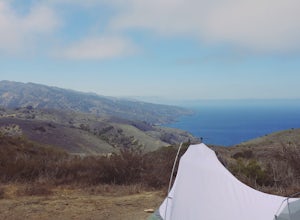
Camp at the Water Canyon Campground in the Channel Islands NP
1.5 miYou can get a wonderfully detailed description of what to expect from the Channel Islands/Santa Rosa Island and how to get there from fellow Explorer Michael Wigle's "Beach camp on Santa Rosa Island" adventure (which I highly recommend you check out for the information and the photography https:/...Read more -
Ventura, California
Hike the North Bluff Trail to Potato Harbor
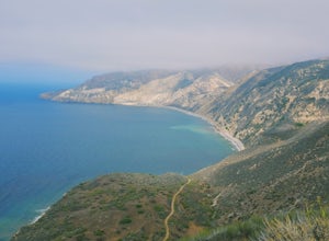
5 miThe 5-mile North Bluff Trail traverses the colossal cliffs of Santa Cruz Island in Channel Islands National Park from Scorpion Anchorage to Potato Harbor. Arrive via an Island Packers boat to Scorpion Anchorage and, upon disembarking, walk straight ahead. Just past the restrooms (one of only two ...Read more -
Ventura, California
Hike to Cavern Point & Potato Harbor
5 miTucked away in the Pacific Ocean just 25 mile from the coast, the Channel Islands are one of Southern California’s hidden gems. With towering cliffs and isolated beaches that hug the coast, this place makes you feel worlds away from home. Channel Islands National Park is comprised of five islands...Read more -
Ventura, California
Hike East Anacapa Island of the Channel Islands
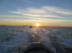
2 miLeaving from either Ventura or Oxnard via Island Packers, this full-day hike is in the middle of the Santa Barbara Channel on a small island, about one hour from Los Angeles by car and one additional hour by boat. Without a beach on which to anchor, your boat will pull into Landing Cove and idle ...Read more -
Ventura, California
Camp at Scorpion Ranch, Channel Islands NP
4.00.5 miAccessible only by Ferry, this little known national park is a backpackers dream. You can catch the ferry out of Ventura or Santa Barbara, only a short distance from LA. The ride to the island is around 1 hour.We chose to take Island Packers Ferry out of Ventura to Santa Cruz Island. The ferry le...Read more -
Ventura, California
Backpack to Del Norte Campground on Santa Cruz Island
5.07 mi / 700 ft gainDel Norte Backcountry Campground is located on Santa Cruz Island, one of the islands that makes up Channel Islands National Park. It is California's largest island and is almost three times the size of Manhattan. The easiest way to get to the island is to take Island Packers, a ferry service that...Read more -
Ventura, California
Hike to Chinese Harbor on Santa Cruz Island
14.2 mi / 750 ft gainThe hike to Chinese Harbor is a 14.2 mile out-and-back hike from Prisoners Harbor on Santa Cruz Island or a much more manageable 8 mile out-and-back hike from Del Norte backcountry campground. If you are spending the day on the island curtesy of Island Packers, a trek to Chinese Harbor might be d...Read more -
Ventura, California
Hike Arroyo Verde Park
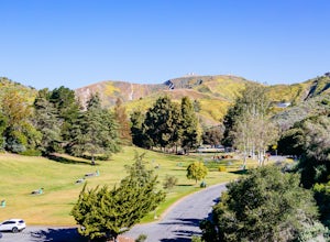
3.5 mi / 800 ft gainArroyo Verde Park is a small parked tucked in the hills above Ventura, California, and has a network of trails running up and down the hills surrounding the valley in the center of the park. The entrance to the park is at the intersection of Foothill Road Day Road, east of downtown Ventura. There...Read more -
Ventura, California
Arroyo Verde Park Loop
2.3 mi / 466 ft gainArroyo Verde Park Loop is a loop trail where you may see wildflowers located near Ventura, California.Read more -
Ventura, California
Sulphur Mountain Road Trail
10.52 mi / 2608 ft gainSulphur Mountain Road Trail is a point-to-point trail where you may see wildflowers located near Ventura, California.Read more -
Oxnard, California
Oxnard Beach to Hollywood Beach
3.72 mi / 39 ft gainOxnard Beach to Hollywood Beach is an out-and-back trail where you may see beautiful wildflowers located near Port Hueneme, California.Read more -
Ventura, California
Rincon Beach
0.9 mi / 3 ft gainRincon Beach is an out and back trail that takes you past scenic views located near Ventura, CaliforniaRead more


