The Best Hiking in Shasta County
Looking for the best hiking in Shasta County? We've got you covered with the top trails, trips, hiking, backpacking, camping and more around Shasta County. The detailed guides, photos, and reviews are all submitted by the Outbound community.
Top hiking spots in and near Shasta County
-
Redding, California
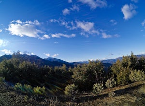
Flanagan and Chamise Peak Trail
5.04.64 mi / 906 ft gainFlanagan and Chamise Peak Trail is an out-and-back trail where you may see beautiful wildflowers located near Redding, California.Read more -
Redding, California
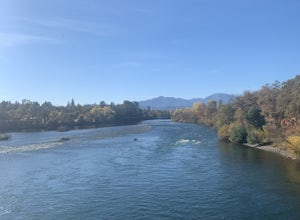
Fishermen's Trail
1.95 mi / 157 ft gainFishermen's Trail is a loop trail that takes you by a river located near Redding, California.Read more -
Redding, California
Churn Creek Trails
3.76 mi / 180 ft gainChurn Creek Trails is a loop trail that is good for all skill levels located near Redding, California.Read more -
Redding, California
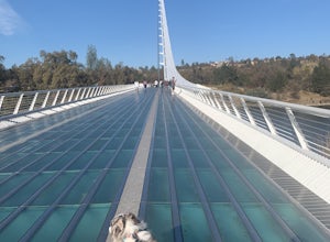
Hilltop Trail Head to Sundial Bridge
4.02.27 mi / 167 ft gainHilltop Trail Head to Sundial Bridge is an out-and-back trail where you may see wildflowers located near Redding, California.Read more -
Redding, California
Arboretum Loop Trail
3.52.07 mi / 43 ft gainArboretum Loop Trail is a loop trail that takes you by a river located near Redding, California.Read more -
Redding, California
Middle Creek Trail
6.23 mi / 525 ft gainMiddle Creek Trail is an out-and-back trail that takes you by a river located near Redding, California.Read more -
Redding, California
Leah's Loop and Secluded Loop
1.93 mi / 82 ft gainLeah's Loop and Secluded Loop is a loop trail that is good for all skill levels located near Redding, California.Read more -
Redding, California
Westside Trails
3.47 mi / 604 ft gainWestside Trails is an out-and-back trail where you may see beautiful wildflowers located near Redding, California.Read more -
Redding, California
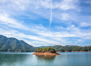
Houseboat Lake Shasta
1 mi / 1 ft gainLake Shasta sits at the foot of infamous Mt Shasta, past the major Northern California city of Redding. From the Bay Area you can count on at least a 3.5 hour drive to get to waters edge, but the drive goes by quickly just cruising on HWY 5. There are multiple Marinas on Shasta but the largest is...Read more -
Shasta County, California
Waters Gulch Loop Trail
3.3 mi / 830 ft gainWaters Gulch Loop Trail is a loop trail that takes you by a lake located near Lakehead, California.Read more -
Redding, California
Wintu Loop
3.53 mi / 676 ft gainWintu Loop is a loop trail where you may see wildflowers located near Redding, California.Read more -
Redding, California
Clover Creek Preserve
1.43 mi / 23 ft gainClover Creek Preserve is a loop trail that takes you by a lake located near Palo Cedro, California.Read more -
Redding, California
Mount Shasta Mine Loop Trail
3.06 mi / 587 ft gainMount Shasta Mine Loop Trail is a loop trail that takes you by a river located near French Gulch, California.Read more -
O'Brien, California
Bailey Cove Loop Trail
2.75 mi / 692 ft gainBailey Cove Loop Trail is a loop trail that takes you by a lake located near Shasta Lake, California.Read more -
Shasta County, California
Hike Kanaka Peak
4.53.5 mi / 1100 ft gainHead to the Peltier Bridge Campground after entering Whiskeytown National Recreation Area and then go 1.1 miles along the road through the campground until you reach the trailhead for Kanaka Peak. The road from the campground is open from late spring to late fall, otherwise hikers will need to pa...Read more


