The Best Hiking in Half Moon Bay
Looking for the best hiking in Half Moon Bay? We've got you covered with the top trails, trips, hiking, backpacking, camping and more around Half Moon Bay. The detailed guides, photos, and reviews are all submitted by the Outbound community.
Top hiking spots in and near Half Moon Bay
-
Half Moon Bay, California
Hike Along the Half Moon Bay Coastal Trail
4.65 mi / 104 ft gainStart at the visitor center along Kelly Avenue. Take note that the day parking fee is $10 in 2016 for each vehicle. You will then be able to enjoy both the Coastside Trail and Francis Beach (plus other beaches) with access to the amenities such as coin-operated showers and a semi-private beach.Th...Read more -
Half Moon Bay, California
Poplar Beach Trail
1.5 mi / 43 ft gainPoplar Beach Trail is an out-and-back trail that takes you past scenic surroundings located near Half Moon Bay, California.Read more -
Half Moon Bay, California
Cowell-Purisima Trail
6.93 mi / 554 ft gainCowell-Purisima Trail is an out-and-back trail where you may see wildflowers located near Half Moon Bay, California.Read more -
Half Moon Bay, California
Hike the Cowell-Purisma Trail
5.07 mi / 400 ft gainThis is a popular trail that has beach access to Cowell Ranch Beach. Along the trail, there is a steep staircase that goes down to the beach. The trail also features fields, a bridge, and beautiful views of California's rugged coastline. This trail is paved in some parts, and can also be biked...Read more -
El Granada, California
Quarry Park Loop Trail
4 mi / 1089 ft gainQuarry Park Loop Trail is a loop trail where you may see wildflowers located near El Granada, CaliforniaRead more -
Half Moon Bay, California
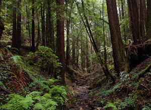
Purisima Creek Trail and Craig Britton Trail Loop
4.06.95 mi / 1411 ft gainThis hike is perfect for any time of year, always staying cool because it is near the coast, and there are multiple creeks that flow year-round. Even on foggy days, the fog condenses on trees to make it seem like it is "raining." Be warned that this hike has a lot of elevation change and is stre...Read more -
Half Moon Bay, California
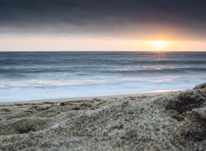
Catch the Sunset at Maverick's Beach
5.01 miMaverick's beach is most well-known for the Maverick surf competition and the gnarly waves which surface here in the winter months. For the rest of the year, the beach is still a site to see. With huge waves crashing ¼ mile off shore and bluffs towering 100 feet above you, it’s a picturesque plac...Read more -
Moss Beach, California
Maverick's Beach Trail
1.24 mi / 52 ft gainMaverick's Beach Trail is an out-and-back trail that is good for all skill levels located near Moss Beach, California.Read more -
Moss Beach, California
Mavericks Cliffs Trail and Pier
3.71 mi / 259 ft gainMavericks Cliffs Trail and Pier is a loop trail that is good for all skill levels located near El Granada, California.Read more -
Half Moon Bay, California
French Trail (God's) and Spine Trail (Sully's)
8.16 mi / 1581 ft gainFrench Trail (God's) and Spine Trail (Sully's) is a point-to-point trail where you may see local wildlife located near Half Moon Bay, California.Read more -
Redwood City, California
Whittemore Gulch and Purisima Creek Loop Trail
9.27 mi / 2165 ft gainWhittemore Gulch and Purisima Creek Loop Trail is a loop trail that takes you by a river located near Redwood City, California.Read more -
Redwood City, California
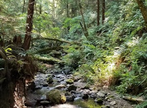
Hike Purisima Creek Redwoods OSP
4.67 miThere are two places to park for this specific loop- the main parking area on Highway 35 (Skyline Boulevard) and a smaller parking lot on the western end of the park. I would recommend parking at whichever is closest. Find directions to both on Openspace.org. From the main parking lot, the trail ...Read more -
Redwood City, California
Hike Whittemore Gulch at Purisima Creek Redwoods OSP
4.09.3 mi / 2109 ft gainThis trail starts out going downhill towards the ocean for the first half, which makes for a tough end to the hike as you trek back up the ridge. However, there are nice ocean and hilltop views that are worth the climb. On this trail, you'll pass 60+ banana slugs if conditions are right. They ar...Read more -
Moss Beach, California
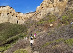
Pillar Point Bluff Loop
4.71.84 mi / 154 ft gainSitting on a 140 acre bluff top, the Pillar Point Bluffs are a simple, easy hike with breathtaking views throughout. The bluffs are 22 miles from San Francisco – a 30 minute drive depending on the traffic. There is a small 10 car or so parking lot off of Airport Blvd, but there are two additional...Read more -
Redwood City, California
Sawyer Camp Trail
11.44 mi / 876 ft gainSawyer Camp Trail is a loop trail that takes you by a lake located near San Mateo, California.Read more -
San Mateo County, California
Run Sawyer Camp Trail
5.012 mi / 300 ft gainThe Sawyer Camp Trail is a popular paved trail that stretches alongside the Crystal Springs Reservoir all the way to Hillcrest Blvd. The sixth mile crosses over the San Andreas Dam with nice views of San Andreas Lake.There are markers every half mile which makes timing and tracking your run easy....Read more


