The Best Hiking in Stinson Beach
Looking for the best hiking in Stinson Beach? We've got you covered with the top trails, trips, hiking, backpacking, camping and more around Stinson Beach. The detailed guides, photos, and reviews are all submitted by the Outbound community.
Top hiking spots in and near Stinson Beach
-
Stinson Beach, California
Matt Davis-Steep Ravine Loop
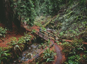
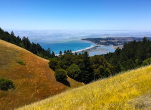
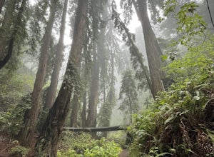
4.76.62 mi / 1726 ft gainThis loop is made up of three of the most popular Marin trails and for good reason. These trails offer not only expansive ocean views, but a variety of topography and environments. This 6+ mile loop offers up waterfalls, dense forests, redwoods, and open grasslands overlooking the pacific. Starti...Read more -
Stinson Beach, California
Matt Davis-Coastal Trail Loop
4.76 mi / 2231 ft gainThis hike is an alternative to the famous Matt Davis to Steep Ravine Loop. The hike starts at Stinson Beach, just behind the fire Station. I recommend parking at the Beach parking lot. The Matt Davis trail is one of the best constructed trails I have ever seen. After 2.2 miles, turn left on the ...Read more -
Stinson Beach, California
Dipsea to Ben Johnson Trail Loop
10.13 mi / 2680 ft gainDipsea to Ben Johnson Trail Loop is a loop trail that takes you by a waterfall located near Stinson Beach, California.Read more -
Stinson Beach, California
Dipsea Trail to Steep Ravine Trail Loop from Stinson
5.05.99 mi / 1568 ft gainDipsea Trail to Steep Ravine Trail Loop from Stinson is a loop trail that takes you by a waterfall located near Stinson Beach, California.Read more -
Stinson Beach, California
Mickey's Beach Trail
0.63 mi / 230 ft gainMickey's Beach Trail is an out-and-back trail that takes you past scenic surroundings located near Stinson Beach, California.Read more -
Stinson Beach, California
Ridgecrest Parking to Alpine Dam
4.4 mi / 1407 ft gainRidgecrest Parking to Alpine Dam is an out and back trail that takes you by a lake located near Stinson Beach, CaliforniaRead more -
Stinson Beach, California
Willow Camp Fire Road to Stinson Beach
3.82 mi / 1558 ft gainWillow Camp Fire Road to Stinson Beach is an out-and-back trail that takes you past scenic surroundings located near Stinson Beach, California.Read more -
Mill Valley, California
Trojan Point
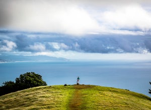
4.50.25 mi / 75 ft gainThe endlessly scenic Trojan Point can be reached by taking the Panoramic Highway to Pantoll road from Stinson Beach to the west, or Mill Valley / Highway 1 to the east. It can also be reached by taking West Ridgecrest Boulevard from the north from the Fairfax-Bolinas road. Park at the large par...Read more -
Stinson Beach, California
Cataract Trail Loop
4.58.7 mi / 1670 ft gainDuration: 3.5-4 hour hike at a moderate to quick pace with a short break for lunch. Starting at an elevation of 1989ft and maxing at 2001ft, you achieve 1428 of elevation gain through a beautiful peak and valley hike. From the free Rock Springs Parking Area, the basic trailheads to follow along...Read more -
Stinson Beach, California
Rock Spring Trail - International Trail Loop
5 mi / 793 ft gainRock Spring Trail - International Trail Loop is a loop trail where you may see wildflowers located near Stinson Beach, CaliforniaRead more -
Stinson Beach, California
Benstein and Cataract Loop Trail
3.43 mi / 600 ft gainBenstein and Cataract Loop Trail is a loop trail that takes you by a river located near Mill Valley, California.Read more -
Stinson Beach, California
Simmons Trail and Benstein Camp to Potrero Camp
2.73 mi / 600 ft gainSimmons Trail and Benstein Camp to Potrero Camp is a loop trail where you may see beautiful wildflowers located near Mill Valley, California.Read more -
Stinson Beach, California
Cataract, High March, Kent and Mickey O'Brien Trail Loop
6.45 mi / 1053 ft gainCataract, High March, Kent and Mickey O'Brien Trail Loop is a loop trail that takes you by a waterfall located near Stinson Beach, California.Read more -
Stinson Beach, California
Cataract Falls and Alpine Lake via Simmons Trail
5.58 mi / 1352 ft gainCataract Falls and Alpine Lake via Simmons Trail is an out-and-back trail that takes you by a waterfall located near Mill Valley, California.Read more -
Mill Valley, California
Benstein, Northside and Rock Spring Trail Loop
8.98 mi / 1975 ft gainBenstein, Northside and Rock Spring Trail Loop is a moderately trafficked loop trail located near Stinson Beach, California.Read more -
Marin County, California
Picturesque Views from Mt. Tam's East Ridge
5.0This road provides one of the most scenic views of the pacific from north of the Golden Gate. It's a little bit of a windy drive or ride along Highway 1 or Panoramic Highway (depending on which way you choose) to get to East Ridgecrest. But, if you remembered to pack a picnic, brought your friend...Read more

