The Best Hiking in Nevada City
Looking for the best hiking in Nevada City? We've got you covered with the top trails, trips, hiking, backpacking, camping and more around Nevada City. The detailed guides, photos, and reviews are all submitted by the Outbound community.
Top hiking spots in and near Nevada City
-
Nevada City, California
Hirschman Trail
4.09 mi / 581 ft gainHirschman Trail is an out-and-back trail that takes you through a nice forest located near Nevada City, California.Read more -
Grass Valley, California
Hardrock and Osborn Hills Loop Trail
3.84 mi / 486 ft gainHardrock and Osborn Hills Loop Trail is a loop trail where you may see beautiful wildflowers located near Grass Valley, California.Read more -
Grass Valley, California
Hardrock Trail Loop
2.54 mi / 240 ft gainHardrock Trail Loop is a loop trail that takes you through a nice forest located near Grass Valley, California.Read more -
Nevada City, California
Scotts Flat Trail
6.26 mi / 1076 ft gainScotts Flat Trail is an out-and-back trail where you may see beautiful wildflowers located near Nevada City, California.Read more -
Nevada City, California
Hoyt Trail
1.66 mi / 177 ft gainHoyt Trail is an out-and-back trail that takes you by a river located near Nevada City, California.Read more -
Nevada City, California
Hike the Independence Trail
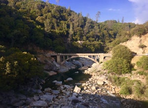
4.5Starting from the free easy access parking lot right off highway 49 you head left up the trail. You will notice two trails side by side, one wider path for wheelchair access and another slightly narrower path for hikers on foot.The trail is set on the cliff side overlooking the South Fork of the ...Read more -
Nevada City, California
South Yuba River: Edwards Crossing to Purdon Crossing
5.04.2 mi / 639 ft gainSouth Yuba River: Edwards Crossing to Purdon Crossing is a point-to-point trail that takes you by a river located near North San Juan, California.Read more -
Nevada City, California
Swim at Edwards Crossing on the South Yuba River
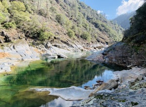
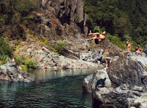
5.00.5 mi / 250 ft gainThere are endless swimming holes on the South Yuba River the feature crystal clear water, massive granite boulders and pristine pocket beaches, particularly those lower in the foothills. Many are separated by sections of rapids, but can be reached via the growing trail system of the South Yuba Ri...Read more -
Nevada City, California
Rock Creek Nature Trail Loop
0.8 mi / 124 ft gainRock Creek Nature Trail Loop is a loop trail where you may see local wildlife located near Nevada City, CaliforniaRead more -
Nevada City, California
South Yuba River Day Hike
2.4 mi / 597 ft gainSouth Yuba River Day trail is an out and back trail that is good for all skill levels located near Nevada City, California.Read more -
Nevada City, California
South Yuba Trail to the Missouri Bar Trail
14.78 mi / 2152 ft gainSouth Yuba Trail to the Missouri Bar Trail is an out-and-back trail that takes you by a river located near Nevada City, California.Read more -
Nevada City, California
Humbug Trail
4.9 mi / 1122 ft gainHumbug Trail is a is an out-and-back trail that takes you by a waterfall located near Washington, California.Read more -
Nevada City, California
Hike the Diggins Loop Trail
5.02.7 miCheck in and pay for your parking or present California State Parks Pass at the museum building in North Bloomfield. After paying for parking there are several different options to get onto the Diggins Loop trail. Access to the Diggins Loop trail can be found by the Park Headcounters by jumping...Read more -
Nevada City, California
Diggins Loop Trail
2.47 mi / 210 ft gainDiggins Loop Trail is a loop trail that takes you by a lake located near Nevada City, California.Read more -
Penn Valley, California
Buttermilk Bend Trail
2.36 mi / 256 ft gainButtermilk Bend Trail is an out-and-back trail that takes you by a river located near Penn Valley, California.Read more -
Penn Valley, California
Point Defiance Trail
2.68 mi / 440 ft gainPoint Defiance Trail is a loop trail that takes you by a lake located near North San Juan, California.Read more


