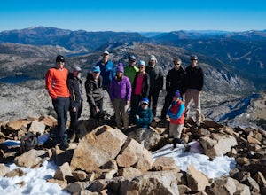
The Best Hiking in Pacific
Looking for the best hiking in Pacific? We've got you covered with the top trails, trips, hiking, backpacking, camping and more around Pacific. The detailed guides, photos, and reviews are all submitted by the Outbound community.
Top hiking spots in and near Pacific
-
Pollock Pines, California
Blue Gouge Mine to Ferrari Mill Road Loop
3.78 mi / 538 ft gainBlue Gouge Mine to Ferrari Mill Road Loop is a loop trail where you may see wildflowers located near Pollock Pines, California.Read more -
Pollock Pines, California
Fleming Meadow Loop
4.96 mi / 748 ft gainFleming Meadow Loop is a loop trail where you may see local wildlife located near Pollock Pines, California.Read more -
Pollock Pines, California
Ferrari Mill Loop
3.39 mi / 577 ft gainFerrari Mill Loop is a loop trail that provides a good opportunity to view wildlife located near Pollock Pines, California.Read more -
Pollock Pines, United States
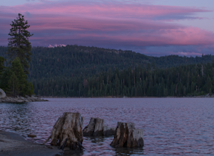
Hiking the Jenkinson Lake Loop Trail at Sly Park
4.0The Jenkinson Lake Loop Trail runs along Jenkinson Lake, making for an easy, shaded, and well-marked hike that the entire family can enjoy. The full loop is over eight miles, but can be easily modified into a shorter trip, as well.Along the way, you will see a variety of activities along the lake...Read more -
El Dorado County, California
Camp at Ice House Reservoir
4.01 mi / 1 ft gainDesolation Wilderness is just west of Lake Tahoe, a part of Eldorado National Forest. It's a very popular backpacking destination as the PCT and Tahoe Rim Trail both run through the area. There are what seems to be endless amounts of mountain lakes, creeks, and rivers that run through this area w...Read more -
Kyburz, California
Wench Creek Campground to Bassi Falls
8.74 mi / 1444 ft gainWench Creek Campground to Bassi Falls is a loop trail that takes you by a lake located near Twin Bridges, California.Read more -
Kyburz, California
Bassi Falls via Towering Rocks Trail
2.71 mi / 315 ft gainBassi Falls via Towering Rocks Trail is an out-and-back trail that takes you by a waterfall located near Twin Bridges, California.Read more -
Kyburz, California
Bassi Falls Short Route
1.07 mi / 266 ft gainBassi Falls Short Route is an out-and-back trail that takes you by a waterfall located near Twin Bridges, California.Read more -
Kyburz, California
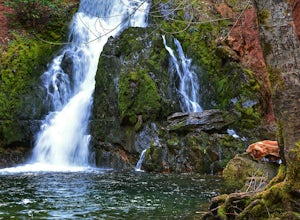
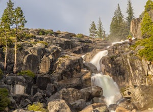
Hike to Bassi Falls
4.51.22 mi / 194 ft gain109' tall Bassi Falls is located in the Crystal Basin area of the El Dorado National Forest. These gorgeous falls at peak Springtime flow crash over enormous boulders and the water sheets over huge, flat slabs of granite. It is located off a rural, pot-holed dirt road (high clearance vehicles re...Read more -
Pollock Pines, California
Robbs Peak and Hut Trail
5.8 mi / 1059 ft gainRobbs Peak and Hut Trail is an out and back trail where you may see wildflowers located near Pollock Pines, CaliforniaRead more -
Placerville, California
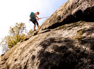
Rock Climb the Cosumnes River Gorge
5.0Consumes River Gorge is a good climbing spot that is relativity close to Sacramento, California. it is located just outside of Placerville, California, making it a must-stop climbing spot for any Sacramento or Eldorado county local. The climbing spot boasts granite climbing areas with over a hund...Read more -
Placerville, California
El Dorado Trail from Smithflat
8.86 mi / 840 ft gainEl Dorado Trail from Smithflat is an out-and-back trail where you may see beautiful wildflowers located near Gold Hill, California.Read more -
Kyburz, California
Hike Pyramid Peak
5.0Although it stands only slightly higher than its neighbors, Pyramid Peak nonetheless dominates the Crystal Range atop which it sits. Great views from the summit make this a must-do.The Route: The route is fairly straightforward to Lake Sylvia (see map). Simply follow the well-defined Lyons Cr...Read more -
El Dorado County, California
Loon Lake Trail from FS Road 36
9.96 mi / 1253 ft gainLoon Lake Trail from FS Road 36 is an out-and-back trail that is moderately difficult located near Twin Bridges, California.Read more


