The Best Hiking in Poway
Looking for the best hiking in Poway? We've got you covered with the top trails, trips, hiking, backpacking, camping and more around Poway. The detailed guides, photos, and reviews are all submitted by the Outbound community.
Top hiking spots in and near Poway
-
Poway, California
Rattlesnake Creek Trail
2.2 mi / 232 ft gainRattlesnake Creek Trail is an out and back trail where you may see wildflowers located near Poway, CaliforniaRead more -
Poway, California
Catch a Sunset at Twin Peaks Mountain
2 miStart by parking at Silverset Park. You will see the trail head for Twin Peaks just behind the park. Park outside of the park if you think you'll be staying past sunset, as the park gates close at dark! Once you spot the trail head, veer left to the path heading up towards the peaks. You will eve...Read more -
Poway, California
Lower Twin Peak Trail Loop
2.65 mi / 554 ft gainLower Twin Peak Trail Loop is a loop trail that provides a good opportunity to see wildlife located near Poway, California.Read more -
Poway, California
Twin Peaks Trail
1.94 mi / 755 ft gainTwin Peaks Trail is a loop trail that takes you past scenic surroundings located near Poway, California.Read more -
Poway, California
Mount Woodson and Potato Chip Rock
4.66.45 mi / 900 ft gainMt. Woodson is located in Poway's most eastern region and is one of San Diego's most popular and most iconic hiking trails. Known for its grand photo opportunistic "Potato Chip Rock", Mt. Woodson is a 7.5mi out-and-back trail with amazing vistas, convenient rest stops and breathtaking views. The...Read more -
Poway, California
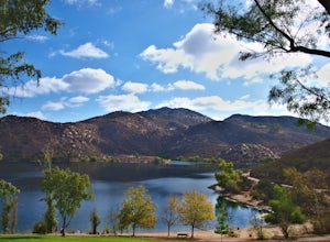
Lake Poway Loop Trail
5.02.79 mi / 512 ft gainLake Poway Loop Trail is a loop trail that takes you by a waterfall located near Poway, California.Read more -
Poway, California
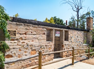
Hike around Goodan Ranch
5.03 miStarting at the Sycamore Canyon Trail head, you will see the sign and gate that leads to Goodan Ranch. Head down the gravel road for 1.1 miles, until you reach a 3-way directional split. Heading straight for another .5 miles will take you directly to the ruins of the old Goodan house. Here you wi...Read more -
Poway, California
Sycamore Canyon Preserve
6.7 mi / 843 ft gainSycamore Canyon Preserve is a loop trail where you may see wildflowers located near Poway, California.Read more -
San Diego, California
Van Dam Peak Trail
5.02.55 mi / 643 ft gainVan Dam Peak Trail is an out-and-back trail where you may see wildflowers located near San Diego, California.Read more -
San Diego, California
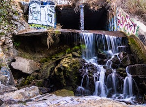
Explore Chambers Hidden Dam and Waterfall
3.20.5 miOnce you get off on Poway road, turn right onto Sabre Springs Parkway. Take your immediate left onto Creekbridge Road and park right there on the hill. Walk straight down towards the black gate and go down the hill. Turn right on the trail and walk down 1/4 mile to the dam, and another 500 yards ...Read more -
Poway, California
Blue Sky Canyon Trail
5.37 mi / 676 ft gainBlue Sky Canyon Trail is a loop trail that takes you by a lake located near Poway, California.Read more -
Poway, California
Blue Sky Reserve to Ramona Lake Trail
5.91 mi / 1027 ft gainBlue Sky Reserve to Ramona Lake Trail is an out-and-back trail that takes you by a lake located near Poway, California.Read more -
Ramona, California
Iron Mountain Peak Trail
4.15.67 mi / 1030 ft gainIron Mountain is the longest wilderness trail in Poway, CA. The parking lot is free and provides bathroom and water fountain amenities. The distance from the parking area to the summit is approximately 3.2 miles. Beginning with a wide smooth trail, slowly transitioning into semi-technical incline...Read more -
Poway, California
Iron Mountain via Ellie Lane Trail
7.34 mi / 1617 ft gainIron Mountain via Ellie Lane Trail is a loop trail that takes you by a lake located near Poway, California.Read more -
Poway, California
Ramona Overlook via Iron Mountain Peak Trail to Ellie Lane Trail
4.44 mi / 912 ft gainRamona Overlook via Iron Mountain Peak Trail to Ellie Lane Trail is an out-and-back trail that takes you through a nice forest located near Poway, California.Read more -
Poway, California
Wild Horse Trail Loop
3.84 mi / 837 ft gainWild Horse Trail Loop is a loop trail that provides a good opportunity to view wildlife located near Poway, California.Read more


