The Best Hiking in Tulare County
Looking for the best hiking in Tulare County? We've got you covered with the top trails, trips, hiking, backpacking, camping and more around Tulare County. The detailed guides, photos, and reviews are all submitted by the Outbound community.
Top hiking spots in and near Tulare County
-
Kernville, California
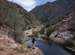
Packsaddle Cave via Rincon Trail
7.68 mi / 2677 ft gainPacksaddle Cave via Rincon Trail is an out-and-back trail that takes you by a waterfall located near Kernville, California.Read more -
Kernville, California
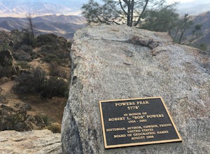
Hike up Powers Peak in Kernville
10 mi / 3200 ft gainHigh Level Details: ~10 Miles Round Trip~3,200 feet total elevation gain for tripTrailhead elevation: 2,811 feetHighest Point on the trail: Powers Peak, 5,778 feetEstimated Time to complete: 4-5 hoursNo water source along the way, so bring plenty of water Dog friendly? Yes! We love bringing Linco...Read more -
Kernville, California
Cannell Peak from Sierra Way
28.76 mi / 7707 ft gainCannell Peak from Sierra Way is an out-and-back trail where you may see wildflowers located near Kernville, California.Read more -
Kernville, California
Cannell Meadow Trail
21.02 mi / 5623 ft gainCannell Meadow Trail is a loop trail where you may see wildflowers located near Kernville, California.Read more -
Kernville, California
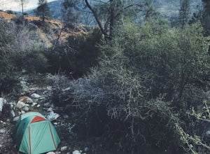
Dispersed Camp along Salmon Creek in Sequoia NF
There are several dispersed campsites found throughout the Sequoia National Forest. The majority can be found by driving on any of the OHV accessible roads. This particular campsite can be found at coordinates 35.89759, -118.4628. In order to get to the campsite, use Google Maps to get you to the...Read more -
Kernville, California
Whiskey Flat Trail
11.94 mi / 1316 ft gainWhiskey Flat Trail is an out-and-back trail that takes you by a river located near Kernville, California.Read more -
Kernville, California
Bull Run Creek Trail
1.65 mi / 75 ft gainBull Run Creek Trail is an out-and-back trail that takes you by a river located near Kernville, California.Read more -
Kernville, California
Packsaddle Cave Trail
4.72 mi / 1640 ft gainPacksaddle Cave Trail is an out-and-back trail that takes you by a river located near California Hot Springs, California.Read more -
Tulare County, California
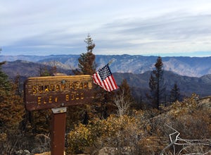
Sherman Pass Trail to Sherman Peak
4.8 mi / 896 ft gainSherman Pass Trail to Sherman Peak is an out-and-back trail where you may see beautiful wildflowers located near Kernville, California.Read more -
Inyokern, California
Long Valley Trail
4.77 mi / 627 ft gainLong Valley Trail is an out-and-back trail that is moderately difficult located near Inyokern, California.Read more -
Camp Nelson, California
Kern River Trail Loop
10.22 mi / 1857 ft gainKern River Trail Loop is a loop trail that takes you by a waterfall located near Johnsondale, California.Read more -
Camp Nelson, California
Fly Fish the Kern River above the Johnsondale Bridge
5.04 mi / 100 ft gainCheck in at the local fly fishing shop in Kernville to check the latest status, then continue up the 20 mile stretch of Mountain Hwy 99 until you cross the Johnsondale Bridge. Park, pack, then begin your 30-45 minute hike up the trail before setting your rod.After you're finished, stop by the Ker...Read more -
Camp Nelson, California
Seven Teacups Trail
5.29 mi / 850 ft gainSeven Teacups Trail is an out-and-back trail that takes you by a waterfall located near Kernville, California.Read more -
Posey, California
Sunday Peak Trail
1.64 mi / 1060 ft gainThis short and easy summit is located just outside of Kernville, California. To get there, follow Highway 178 towards Kernville and turn left on Highway 155 towards Wofford Heights. After a long, steep incline you’ll reach the top of Greenhorn Summit, marked by large parking areas on either side....Read more -
Wofford Heights, California
Unal Trail
3.25 mi / 846 ft gainUnal Trail is a loop trail where you may see local wildlife located near Wofford Heights, California.Read more -
Lake Isabella, California
Isabella Lake
1.06 mi / 43 ft gainIsabella Lake is a loop trail that is good for all skill levels located near Lake Isabella, California.Read more


