The Best Hiking in Ojai
Looking for the best hiking in Ojai? We've got you covered with the top trails, trips, hiking, backpacking, camping and more around Ojai. The detailed guides, photos, and reviews are all submitted by the Outbound community.
Top hiking spots in and near Ojai
-
Ojai, California
Ojai -Ventura Bike Path via Downtown Ojai
3.015 mi / 128 ft gainOjai -Ventura Bike Path via Downtown Ojai is a point-to-point trail that provides a good opportunity to see wildlife located near Ojai, California.Read more -
Ojai, California
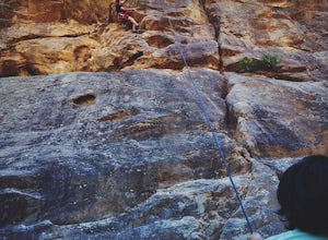
Rock Climb at Foothill Crag
2 miFrom downtown Ojai, head north on N Signal Street. Head up the hill and turn left onto a gravel road next to a chainlink fence once you get to the top.(There should be a sign that points to "Pratt/Foothill Trailhead.") Continue past a water tank on the right to a trailhead parking area. I've gon...Read more -
Ojai, California
Luci's Trail
2.47 mi / 719 ft gainLuci's Trail is an out-and-back trail that is moderately difficult located near Ojai, California.Read more -
Ojai, California
Fox Canyon, Foothill, and Luci's Trails Loop
2.97 mi / 873 ft gainFox Canyon, Foothill, and Luci's Trails Loop is a loop trail where you may see beautiful wildflowers located near Ojai, California.Read more -
Ojai, California
Fox Canyon Trail
2.89 mi / 751 ft gainFox Canyon Trail is an out-and-back trail where you may see beautiful wildflowers located near Ojai, California.Read more -
Ojai, California
Shelf, Gridley, Fuel Break, and Pratt Trails Loop
6.72 mi / 1276 ft gainShelf, Gridley, Fuel Break, and Pratt Trails Loop is a loop trail that takes you by a lake located near Ojai, California.Read more -
Ojai, California
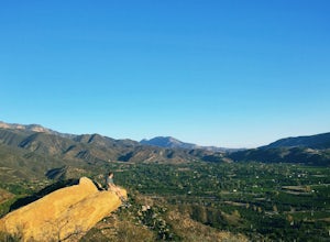
Couch Rock
3.51.3 mi / 627 ft gainDriving up Gridley Road away from Ojai you’ll come upon a small parking lot on your left and a gate barring the way to a dirt road. Park here, as close to the mountainside as possible and head onto the trail. Follow the trail until you see pass a bench, and start heading downhill. Keep your eye...Read more -
Ojai, California
Shelf Road Trail
3.52 mi / 338 ft gainShelf Road Trail is an out-and-back trail that takes you past scenic surroundings located near Ojai, California.Read more -
Ojai, California
Gridley Trail
11.57 mi / 3970 ft gainGridley Trail is an out-and-back trail where you may see beautiful wildflowers located near Ojai, California.Read more -
Ojai, California
Ventura River Preserve Trail
2.96 mi / 210 ft gainVentura River Preserve Trail is a loop trail that takes you by a river located near Ojai, California.Read more -
Ojai, California
Wills-Rice Loop Trail
4.63 mi / 449 ft gainWills-Rice Loop Trail is a loop trail where you may see wildflowers located near Ojai, California.Read more -
Ojai, California
Cozy Dell Via Foothill Trail
3.9 mi / 1152 ft gainCozy Dell Via Foothill Trail is a loop trail that takes you past scenic surroundings located near Ojai, California.Read more -
Ventura, California
Sulphur Mountain Road Trail
10.52 mi / 2608 ft gainSulphur Mountain Road Trail is a point-to-point trail where you may see wildflowers located near Ventura, California.Read more -
Ojai, California
Howard Creek Trail
5.68 mi / 1319 ft gainHoward Creek Trail is an out-and-back trail where you may see wildflowers located near Ojai, California.Read more -
Ojai, California
Nordhoff Ridge to Chief and Nordhoff Peaks
18.7 mi / 4646 ft gainNordhoff Ridge to Chief and Nordhoff Peaks is a loop trail that provides a good opportunity to view wildlife located near Ojai, California.Read more -
Ojai, California
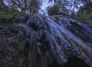
Rose Valley Falls
5.00.68 mi / 256 ft gain...It's not often that you come across 100 ft waterfalls. This moderate to easy hike to Rose Valley Falls leads you to one of the tallest waterfalls in the Los Padres National Forest. The hike begins at Rose Valley Campground. If you're not staying at a campsite, park outside the entrance of the ...Read more


