The Best Hiking in Deschutes County
Looking for the best hiking in Deschutes County? We've got you covered with the top trails, trips, hiking, backpacking, camping and more around Deschutes County. The detailed guides, photos, and reviews are all submitted by the Outbound community.
Top hiking spots in and near Deschutes County
-
La Pine, Oregon
Lava Cast Forest
1.01 mi / 69 ft gainLava Cast Forest is a loop trail where you may see beautiful wildflowers located near La Pine, Oregon.Read more -
Bend, Oregon
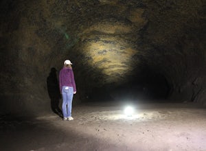
Explore the Lava River Cave
5.0Located just 12 miles South of Bend and 5 miles Northeast of Sunriver in the Deschutes National Forest, the Lava River Cave is a unique experience the whole family can enjoy. To get there from Bend, drive South on Highway 97 for about 10 miles until you see a large sign for the Lava Lands Visitor...Read more -
Bend, Oregon
Lava Lands Visitor Center Loop
1 mi / 125 ft gainLava Lands Visitor Center Loop is a loop trail where you may see beautiful wildflowers located near Bend, Oregon.Read more -
Bend, Oregon
Lava Butte from Lava Lands Visitor Center
3.82 mi / 712 ft gainLava Butte from Lava Lands Visitor Center is an out-and-back trail that takes you past scenic surroundings located near Sunriver, Oregon.Read more -
Bend, Oregon
Hidden Forest and Arnold Ice Cave Trail
0.86 mi / 13 ft gainHidden Forest and Arnold Ice Cave Trail is an out-and-back trail where you may see beautiful wildflowers and is good for all skill levels located near Bend, Oregon.Read more -
Bend, Oregon
Explore Arnold Ice Caves
4.00.95 mi / 26 ft gain...Deep in the central Oregon Forest is a cave that is surrounded by Juniper Trees, Ponderosa Pines and the landscape of a secret volcanic underground world! This short hike is located roughly 12 miles East of Bend, and makes for an epic adventure for all to enjoy. A little history on the cave.....Read more -
Bend, Oregon
Pictograph Cave Trail
3.32 mi / 144 ft gainPictograph Cave Trail is a loop trail that provides a good opportunity to view wildlife located near Bend, Oregon.Read more -
Bend, Oregon
Boyds Cave
0.7 mi / 66 ft gainBoyds Cave is a loop trail where you may see local wildlife located near Bend, Oregon.Read more -
Bend, Oregon
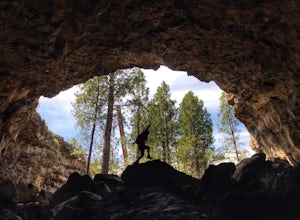
Boyd Cave
5.00.69 mi / 66 ft gainLocated 20 miles southeast of Bend, Boyd Cave is a well preserved lava tube stretching close to a mile. To get there, take Highway 97 South through Bend and turn left on China Hat Road. Go straight for exactly 9 miles. Turn left at mile 9 onto the trail at FS242. You will know it has been 9 miles...Read more -
La Pine, Oregon
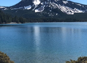
Hike to Paulina Lake Hot Springs
5.02.4 miStarting at Little Crater Campground, head north toward the hot springs (43.730, -121.247). If you're really looking to stretch your legs, you can extend the out-and-back hike to a full loop around the lake just shy of 8 miles. The water in the springs is around 95 degrees, and doesn't smell of s...Read more -
Bend, Oregon
Hike Bessie Butte
4.41.5 mi / 500 ft gainJust a mere 15 minutes outside of Bend, Oregon the Bessie Butte Trail is a wonderfully scenic hike to overlook Bend on one side and the Deschutes National Forest on the other. The butte provides an excellent view of the surrounding mountains of which there are many: Mount Bachelor, The South Sist...Read more -
Bend, Oregon
Bessie Butte
1.45 mi / 453 ft gainBessie Butte is an out-and-back trail that takes you through a nice forest located near Bend, Oregon.Read more -
La Pine, Oregon
Relax at East Lake Hot Springs
0.6 miThis 100-120 degree pool is located along the south shore of the lake, with great views of the water. It's not likely to be crowded, although it does have a strong sulfur smell.Read more -
La Pine, Oregon
Hike up Paulina Peak
5.06 mi / 1800 ft gainDistance: 6 miles, out-and-back (Can also be done as a 12 mile loop via Crater Rim Trail). Starting at Paulina Lake, just past the Visitor Center lies a marked trailhead for Paulina Peak. The trail starts close to the road and winds through the forest around the back of some lake maintenance fac...Read more -
La Pine, Oregon
Paulina Peak Trail
6.11 mi / 1611 ft gainPaulina Peak Trail is an out-and-back trail that takes you by a lake located near La Pine, Oregon.Read more


