The Best Hiking in Black Canyon City
Looking for the best hiking in Black Canyon City? We've got you covered with the top trails, trips, hiking, backpacking, camping and more around Black Canyon City. The detailed guides, photos, and reviews are all submitted by the Outbound community.
Top hiking spots in and near Black Canyon City
-
Black Canyon City, Arizona
High Desert Park Trail
1.65 mi / 148 ft gainHigh Desert Park Trail is a loop trail where you may see wildflowers located near Black Canyon City, Arizona.Read more -
Black Canyon City, Arizona
Black Canyon Trail: Rock Springs to W Care Free Highway
30.47 mi / 2723 ft gainBlack Canyon Trail: Rock Springs to W Care Free Highway is a point-to-point trail that takes you by a river located near Black Canyon City, Arizona.Read more -
Black Canyon City, Arizona
Castle Creek Road to Cleator
10.59 mi / 1677 ft gainCastle Creek Road to Cleator is a point-to-point trail where you may see beautiful wildflowers located near Black Canyon City, Arizona.Read more -
Black Canyon City, Arizona
Antelope Falls
9.46 mi / 456 ft gainAntelope Falls is a loop trail featuring a waterfall during the wetter months located near Mayer, Arizona.Read more -
Black Canyon City, Arizona
Zig Zag Trail
4.61 mi / 436 ft gainZig Zag Trail is a loop trail that takes you by a river located near Canyon City, Arizona.Read more -
Black Canyon City, Arizona
Government Springs Trail
11.04 mi / 741 ft gainGovernment Springs Trail is a loop trail that takes you by a river located near Mayer, Arizona.Read more -
Black Canyon City, Arizona
Miner Bob Trail
7.67 mi / 686 ft gainMiner Bob Trail is a loop trail that takes you by a river located near Mayer, Arizona.Read more -
Black Canyon City, Arizona
Richinbar Mine and Pueblo Trail
2.36 mi / 92 ft gainRichinbar Mine and Pueblo Trail is a loop trail where you may see beautiful wildflowers located near Crown King, Arizona.Read more -
Black Canyon City, Arizona
Badger Springs Wash Trail
1.48 mi / 98 ft gainBadger Springs Wash Trail is an out-and-back trail that takes you by a waterfall located near Cordes Junction, Arizona.Read more -
Black Canyon City, Arizona
Hike the Badger Spring Wash Trail
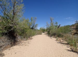
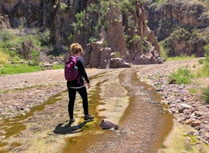
3.54 miBadger Spring Wash is a dry stream bed most of the year. This trail starts from the Badger Spring Trailhead just off Route 17 north from Phoenix. The trail follows the stream bed, sometimes in or along side for 1.5 miles. At about one mile, you reach the spring and a good amount of water which is...Read more -
Black Canyon City, Arizona
Explore Pueblo La Plata
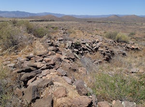
0.25 miPueblo La Plata is the largest ancient Indian ruin in Agua Fria National Monument and dates back to before 1200 A.D. The ruin at one time had 80 to 90 rooms for living quarters. Now the sight seems like just a pile of rubble. However there is significant research continuing on the mesa of Agua Fr...Read more -
Black Canyon City, Arizona
Perry Tank Canyon
14.6 mi / 614 ft gainPerry Tank Canyon is an out-and-back trail that takes you by a river located near Mayer, Arizona.Read more -
Crown King, Arizona
Big Dipper via Poland Creek
3.88 mi / 1325 ft gainBig Dipper via Poland Creek is an out-and-back trail that takes you by a waterfall located near Crown King, Arizona.Read more -
New River, Arizona
Daisy Mountain Trail
6.63 mi / 1237 ft gainDaisy Mountain Trail is a loop trail where you may see beautiful wildflowers located near New River, Arizona.Read more -
Morristown, Arizona
Hiking in Hells Canyon Wilderness
Spanning 9,951 acres of backcountry a few miles northwest of Lake Pleasant and about 25 miles north of Phoenix, Hells Canyon Wilderness area offers a quick way to escape into an untamed swath of desert that’s more paradise than purgatory.I have to say, this entire trail is 36.3 miles (and is tec...Read more -
New River, Arizona
Maricopa Trail: Spear S Ranch to Go John Trail Loop
14.54 mi / 1467 ft gainMaricopa Trail: Spear S Ranch to Go John Trail Loop is a loop trail that provides a good opportunity to view wildlife located near Phoenix, Arizona.Read more


