The Best Hiking in Moab
Looking for the best hiking in Moab? We've got you covered with the top trails, trips, hiking, backpacking, camping and more around Moab. The detailed guides, photos, and reviews are all submitted by the Outbound community.
Top hiking spots in and near Moab
-
Moab, Utah
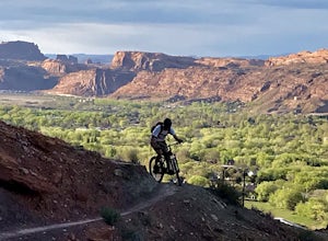
Mountain Bike the Pipe Dream Trail in Moab
6 mi / 730 ft gainThere are multiple trailheads to access the Pipe Dream trail in Moab. This time we chose to start at the Jackson Street parking area and rode the pipeline trail south for approximately 3-miles. This section of trail is a 2-track road that follows, you guessed it, the gas pipeline. It climbs aroun...Read more -
Moab, Utah
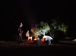
Camp at Sand Flats Recreation Area in Moab
3.0The rock domes and slickrock around the campsites provide fun for young and old to scramble on, or simply enjoy the sunrise or sunset. Located just outside of the town of Moab Utah is the Sand Flats Recreation Area. The area is managed jointly by the Bureau of Land Management and Grand County Uta...Read more -
Moab, Utah
Slickrock Mountain Bike Trail
8.91 mi / 1027 ft gainSlickrock Mountain Bike Trail is a loop trail that takes you past scenic surroundings located near Moab, Utah.Read more -
Moab, Utah
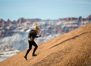
Trail Run Moab's Slickrock Trail
8.8 mi / 944 ft gainThe Slickrock Trail is well known in the mountain biking community and has put Moab on the map as one of the premier mountain biking destinations in the world. The good news for folks who don't mountain bike is that it's just as much fun to run or hike.It's a loop trail and very well marked with ...Read more -
Moab, Utah
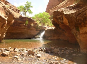
Hike to Power Dam
3.43 miThis is a great little swimming hole spot in Moab. A lot of locals will call it The Power Dam. It's just a short easy 1.5 mile hike up the canyon to a natural swimming pool where you can swim and hangout. This is a perfect little spot to check out in Moab while visiting the great national parks. ...Read more -
Moab, Utah
Rock Climbing Moab's Wall Street
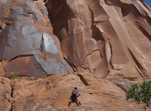
4.4Moab's Wall Street is exactly what it sounds like, but nothing like the "Wall Street" you're familiar with. Several miles off Highway 279, it hugs the Colorado River on one side and a towering 500ft sandstone wall littered with climbing routes on the other. There is easy access to all of the clim...Read more -
Moab, Utah
Camp Goose Island Campground
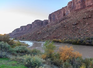
4.7Many of the campground in Arches National Park are extremely hard to book and almost impossible to get walk-in spots during the peak season in this area. However, the Colorado River near Moab has an abundance of beautiful campsites along its shore. Highway 128 heads northwest out of Moab followin...Read more -
Moab, Utah
Hike through Grandstaff Canyon
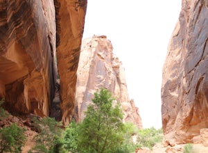
4.34.34 mi / 1335 ft gainThe Grandstaff Canyon trail is 2.4 miles to Morning Glory Bridge and can take anywhere between 3-5 hours round trip. Grandstaff Canyon is nestled right along the Colorado River in Moab, UT. This easy hike takes you to the 6th longest natural bridge in the United States, Morning Glory Bridge. Brea...Read more -
Moab, Utah
Drive Fins & Things
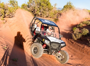
5.09.4 mi / 900 ft gainFins & Things is a 9.4 mile classic Moab ATV / 4WD trail rated 5 by the Red Rock Four-Wheelers. It is steep, has great traction, some fantastic slalom cutes and of course, glorious views of the Moab redrock scenery. The one-way trail is broken into three sections and begins at campsite E-6 in...Read more -
Moab, Utah
Camping at Granstaff Campground
5.0Granstaff Campground has 17 campsites available, which are first come, first served. The sites are $15 a night per vehicle. The campground is a little limited and doesn't have running water, so bring your filter or head into town and pick up supplies.During the day, you can easily make your way t...Read more -
Moab, Utah
Rappel the Granstaff Canyon
4.04.5 mi / -500 ft gainThe Granstaff Canyon is a beautiful, red rock canyon just outside of Moab, nestled up against the Colorado River. For those with canyoneering or climbing experience, this canyon is simple enough to run. After an initial one hour (ish) hike in from the parking spot, the rappels are close together ...Read more -
Moab, Utah
Camp at King's Bottom
4.0Kane Creek is a massive canyon, with the Colorado river at it's feet and red cliffs towering on either side. There are numerous trail heads and campgrounds the farther you explore into the canyon. However, these sites fill up fast. The canyon restricts camping to only designated sites, capping th...Read more -
Moab, Utah
Hidden Valley to Moab Rim Trail
6.93 mi / 1066 ft gainHidden Valley to Moab Rim Trail is a point-to-point trail that takes you by a river located near Moab, Utah.Read more -
Moab, Utah
Camp at Williams Bottom Campground in Moab
4.0Williams Bottom Campground and its 17 first-come first-serve campsites are tucked into the side of the Colorado River Canyon on Utah Highway 279 aka "Potash Road" just 15 minutes from downtown Moab. It is commonly known as one of *the* rock climbing campground on the west side of Moab, as there a...Read more -
Moab, Utah
Amasa Back and Cliffhanger Trail
8.89 mi / 1978 ft gainAmasa Back and Cliffhanger Trail is a loop trail where you may see wildflowers located near Moab, Utah.Read more -
Moab, Utah
Pritchett to Hunter Canyon
12.03 mi / 2536 ft gainPritchett to Hunter Canyon is a loop trail that takes you past scenic surroundings located near Moab, Utah.Read more

