The Best Hiking in Monticello
Looking for the best hiking in Monticello? We've got you covered with the top trails, trips, hiking, backpacking, camping and more around Monticello. The detailed guides, photos, and reviews are all submitted by the Outbound community.
Top hiking spots in and near Monticello
-
Monticello, Utah
Lloyd's Lake Loop
2.24 mi / 118 ft gainLloyd's Lake Loop is a loop trail that takes you by a lake located near Monticello, Utah.Read more -
Monticello, Utah
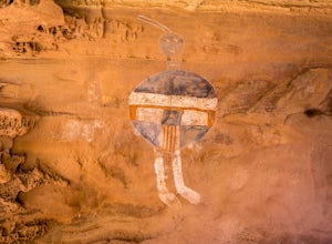
Newspaper Rock Trail
0.12 mi / 3 ft gainNewspaper Rock Trail is an out-and-back trail that takes you past scenic surroundings located near Monticello, Utah.Read more -
Monticello, Utah
Salt Creek Canyon Trail
12.33 mi / 1555 ft gainSalt Creek Canyon Trail is an out-and-back trail that is moderately difficult located near Blanding, Utah.Read more -
Monticello, Utah
Backpack Salt Creek
33 mi / 1000 ft gainThe Needles District of Canyonlands receives 6 times as many backpackers as its more popular neighbor across the Colorado River, Island in the Sky. The Needles has an excellent trail network that is incredibly diverse, featuring amazing rock features as well as grassy meadows and savannahs. Whil...Read more -
Moab, Utah
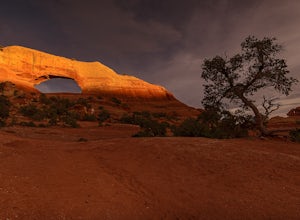
Hiking to Wilson Arch
4.3To get to Wilson Arch, drive south of Moab on US-191 S for about 25 miles. The arch is right off US-191S and there is parking on either side of the highway. Keep an eye out after you pass the LaSal Junction - the arch is visible from the road.From the parking lot there is a a very short (~0.5 mil...Read more -
Monticello, Utah
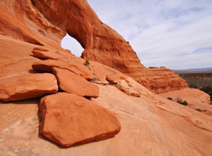
Explore Looking Glass Arch
4.0Getting there:From Moab, follow Highway 191 south for about 23 miles until you get to Looking Glass Road/Co. Rd. 131. Take a right and follow the road for about 2 miles and then turn left into the parking lot.It is only about 0.10 miles from the parking lot to the arch itself, but there is a ~150...Read more -
Monticello, Utah
Looking Glass Arch
0.52 mi / 154 ft gainLooking Glass Arch is a loop trail that takes you past scenic surroundings located near Moab, Utah.Read more -
San Juan County, Utah
Ballroom Ruins
2.39 mi / 233 ft gainBallroom Ruins is an out-and-back trail that takes you past scenic surroundings located near Bluff, Utah.Read more -
Dove Creek, Colorado
Dolores Canyon
5.85 mi / 417 ft gainDolores Canyon is an out-and-back trail that takes you by a river located near Cahone, Colorado.Read more -
San Juan County, Utah
Butler Wash Ruins
0.9 mi / 118 ft gainButler Wash Ruins is an out-and-back trail that takes you past scenic surroundings located near Bluff, Utah.Read more -
Moab, Utah
Hike the Cave Spring Loop in the Needles District
4.00.6 mi / 35 ft gainThe Cave Spring Trail within Canyonlands National Park takes visitors past some well preserved pictographs and a cowboy camp complete with many original artifacts, all located in bluff "caves" below the overhanging cliffs of a low mesa. The path later climbs to the top via a pair of wooden ladde...Read more -
Moab, Utah
Cave Spring Trail
0.61 mi / 59 ft gainCave Spring Trail is a loop trail that takes you past scenic surroundings located near Monticello, Utah.Read more -
Moab, Utah
Angel Arch from Cave Spring
25.52 mi / 2566 ft gainAngel Arch from Cave Spring Trail is an out-and-back trail that is moderately difficult located near Monticello, Utah.Read more -
Pleasant View, Colorado
Lowry Pueblo Ruin Trail
0.33 mi / 20 ft gainLowry Pueblo Ruin Trail is a loop trail where you may see local wildlife located near Pleasant View, Colorado.Read more -
Monticello, Utah
Chesler Park and Druid Arch Loop from Squaw Flat Campground
21.68 mi / 3461 ft gainChesler Park and Druid Arch Loop from Squaw Flat Campground Trail is a loop trail that takes you by a river located near Monticello, Utah.Read more -
Monticello, Utah
Elephant Hill, Druid Arch, and Snowflat Loop Trail
9.88 mi / 1178 ft gainElephant Hill, Druid Arch, and Snowflat Loop Trail is a loop trail where you may see beautiful wildflowers located near Monticello, Utah.Read more


