The Best Hiking in Kanab
Looking for the best hiking in Kanab? We've got you covered with the top trails, trips, hiking, backpacking, camping and more around Kanab. The detailed guides, photos, and reviews are all submitted by the Outbound community.
Top hiking spots in and near Kanab
-
Kanab, Utah
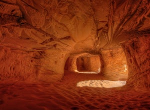
Sand Caves of Kanab
4.51.17 mi / 69 ft gainTo get to this cave, drive north of Kanab on Highway 89. Just after you pass Best Friends Animal Sanctuary, you will see these caves on the right. To hike to the caves, try accessing the trail from as far to the left as possible. The hike isn't strenuous or tricky in that case. The other thing t...Read more -
Kanab, Utah
Mansard Great Diverse Trail
5.34 mi / 1286 ft gainMansard Great Diverse Trail is an out-and-back trail where you may see local wildlife located near Kanab, Utah.Read more -
Orderville, Utah
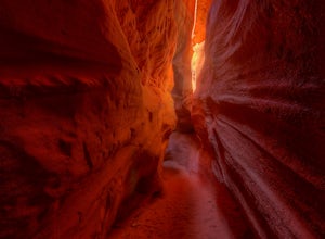
Kanab's Peek-a-Boo Canyon
4.87.71 mi / 587 ft gainThe trailhead is Red Canyon (aka Peek-a-boo) trailhead located just off of Highway 89 between Kanab and Mt. Carmel Junction. The GPX track shows the entirety of the trail, but if you have 4WD and a high-clearance vehicle, you're able to reach the closer parking area for a less than 1-mile roundtr...Read more -
Kanab, Utah
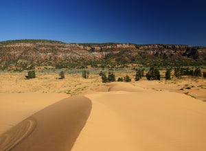
Nature Trail Loop
4.50.75 mi / 33 ft gainThis state park is not heavily visited and for a makes a great day trip from Zion National Park or Kanab, UT. Expect endless beautiful pink dunes and Utah's red rocks as your backdrop. Once you park, walk out onto the boardwalk and the short Nature Trail will head out just beyond the signs explai...Read more -
Orderville, Utah
Hike through the Red Caves (Sand Wash)
5.0They don't require any technical gear unless you would like to do two short rappels near the beginning of Lower Red Cave and one short rappel into the Upper Red Cave. We didn't take a rope and were fine although the canyons are usually filled with water and have some difficult obstacles to overco...Read more -
Kanab, Utah
See Dinosaur Tracks at the Moccasin Mountain Dinosaur Tracksite
5.0The Moccasin Mountain Dinosaur Tracksite is one of the most diverse track sites in North America. The site contains hundreds of fossilized tracks from at least five different species of dinosaur. The tracks have been preserved since the early Jurassic period dating back to approximately 180 mil...Read more -
Orderville, Utah
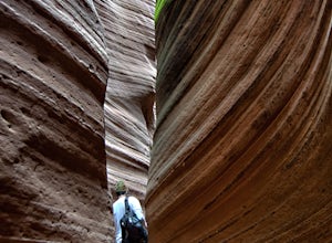
Hike Red Hollow Slot Canyon
5.03.2 mi / 200 ft gainThe trailhead is about 18 miles from the eastern entrance of Zion National Park, located in the small town of Orderville. In Orderville, the streets aren't marked too well, so follow the road that goes past the cemetery and the school, 100 East. When the road Ts, turn left. The road ends in a san...Read more -
Orderville, Utah
East Rim Trail, Zion NP
5.010.19 mi / 3000 ft gainThe East Rim Trail is approximately 10-miles (one-way) and can either be started from the Eastern Entrance of Zion National Park, or more commonly from the Hidden Canyon or Observation Point Trailheads. Many people start from within Zion Canyon and do the arduous Observation Point Trail, forgoing...Read more -
Hurricane, Utah
Water Canyon Trail in the Canaan Mountain Wilderness
5.03.09 mi / 1302 ft gainWater Canyon is a narrow canyon on the southern side of Canaan Mountain in the Canaan Mountain Wilderness south of Zion. It makes for a great hike away from the crowds, though do not expect to have the trail to yourself as it is a great starting point for backpacking and canyoneering trips into t...Read more -
Hildale, Utah
The Beehive
5.58 mi / 1588 ft gainThe Beehive is an out-and-back trail that takes you past scenic surroundings located near Hildale, Utah.Read more -
Hildale, Utah
Water Canyon Arch (Eye of the Heavens)
9.61 mi / 1936 ft gain…Who doesn’t enjoy a hike that gives you views as if you’re on top of the world! I know I do, and this hike to Water Canyon Arch (Eye of the Heavens Arch) will do just that!There’s two ways of getting to the arch, but the route I took was the squirrel creek trail, to the Canaan mountain trail. On...Read more -
Springdale, Utah
Jug Handle Arch Trail
2.35 mi / 1014 ft gainJug Handle Arch Trail is a loop trail where you may see beautiful wildflowers located near Springdale, Utah.Read more -
Springdale, Utah
Keyhole Canyon Loop
1.04 mi / 318 ft gainKeyhole Canyon Loop Trail is a loop trail that takes you by a river located near Hurricane, Utah.Read more -
Springdale, Utah
South Ariel Peak Trail
1.08 mi / 755 ft gainSouth Ariel Peak Trail is an out-and-back trail where you may see beautiful wildflowers located near Springdale, Utah.Read more -
Springdale, Utah
Canyoneering Keyhole Canyon
4.0Keyhole Canyon is an experience for the adventurous, thrill seeking explorer. Hidden between the jagged mountains of Zion National Park, this canyon sits roadside, just two miles from the east entrance. Before we continue, please note that Canyoneering is a dangerous sport. This canyon is not for...Read more -
Springdale, Utah
Clear Creek Trail
2.17 mi / 427 ft gainClear Creek Trail is an out-and-back trail that provides a good opportunity to view wildlife located near Springdale, Utah.Read more

