The Best Hiking in Kane County
Looking for the best hiking in Kane County? We've got you covered with the top trails, trips, hiking, backpacking, camping and more around Kane County. The detailed guides, photos, and reviews are all submitted by the Outbound community.
Top hiking spots in and near Kane County
-
Kane County, Utah
Hike and Swim through Labyrinth Canyon
3.04 mi / 500 ft gainThis hike is a perfect day activity from boating/houseboating/camping Lake Powell. We were houseboating by Gunsight/Cookie Jar Buttes and boated across the bay to Labyrinth Bay. We jumped out when the canyon became too narrow for the ski boat and swam the slot canyon. Wear your life jacket. I ha...Read more -
Kane County, Utah
Explore West Canyon
West Canyon can be accessed from Buoy 25 at Lake Powell. It is best accessed from Wahweap or Antelope Point marina. You can boat as far as 6 miles into the canyon before securely docking your boat for a hike, but the actual distance you boat in depends on current water levels. Hikers can go as fa...Read more -
Page, Arizona
Hike to Chaol Falls (Navajo Canyon)
8 mi / 200 ft gainThe hike through Navajo Canyon to Chaol Falls is a pleasant, scenic, secluded desert hike just outside of Lake Powell, Utah. The trail goes through a long side canyon with picturesque walls. Navajo Canyon is the longest side canyon on Lake Powell that is not a river arm. It is a narrow riverine c...Read more -
Page, Arizona
Boat-in to Rainbow Bridge
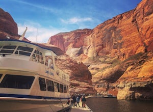
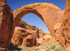
1.25 miThis amazing trip to one of the largest natural bridges in the world, Rainbow Bridge National Monument, begins at the Lake Powell Marina. Catch your ride at Lake Powell Resort at the Wahweap Marina. This tour the lake for a couple of hours until you reach a narrow canyon. The 50+ foot boat will m...Read more -
Kane County, Utah
Backpack to Rainbow Bridge
5.017 mi / 2800 ft gainThis incredible trip isn't only about Rainbow Bridge. Honestly, the Bridge is just icing on the cake.The scenery is breathtaking along the way, changing and evolving as you pass through epic canyons and climb over rocky ledges to be rewarded with spanning vistas. It really is amazing. There's eve...Read more -
Kane County, Utah
Camp At Wahweap Campground
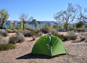
4.0This modern campground is just steps from the beach and centrally located on the Arizona / Utah border -- perfect for exploring both sides of the Glen Canyon National Recreational Area. You do need a national parks pass or will incure a $25 fee to enter the park (good for one week). The campgrou...Read more -
Kane County, Utah
Fortymile Gulch and Willow Gulch Alternate Loop
9.57 mi / 1486 ft gainFortymile Gulch and Willow Gulch Alternate Loop is a loop trail that takes you by a waterfall located near Lake Powell, Utah.Read more -
Kane County, Utah
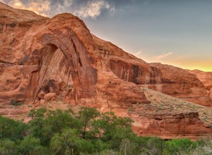
Hike to Broken Bow Arch
4.76.28 mi / 732 ft gainThe trailhead starts at the Willow Gulch Trailhead, located just off of Hole in the Rock Road in the Grand Staircase -Escalante National Monument. The coordinates for the trailhead are 37.324812,-111.023019. To get there head east on highway 12 out of Escalante, Utah until you get to Hole in the ...Read more -
Kane County, Utah
Broken Bow Arch via Willow Gulch Trail
6.36 mi / 883 ft gainBroken Bow Arch via Willow Gulch Trail is an out-and-back trail that takes you by a river located near Lake Powell, Utah.Read more -
Page, Arizona
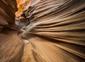
Hike through Mountain Sheep Canyon
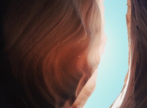
1.5 mi / 100 ft gainAs its name suggests, Mountain Sheep Canyon offers a rugged feel and more strenuous hike than the other slot canyons in the neighborhood (Antelope Canyon and Rattlesnake Canyon). The trek is longer than it is for the other canyons (about three-quarters of a mile), and there is quite a bit of scal...Read more -
Page, Arizona
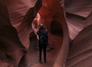
Photograph Rattlesnake Canyon
5.0Rattlesnake Canyon is an add-on to the ever-popular Antelope Canyon photography tour. Both canyons are on Navajo land and only accessible by guided tour.The advantage to Rattlesnake Canyon is that only one tour company is allowed to operate there and they only take one group at a time. Our grou...Read more -
Kane County, Utah
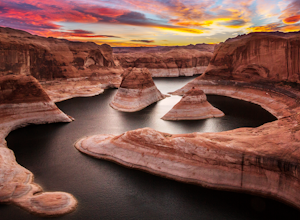
Reflection Canyon
5.015.24 mi / 1368 ft gainBackpacking Reflection Canyon is not for the faint of heart. It's an intense, challenging hike that takes you through slot canyons, climbing up and down shifty sandstones and traversing rugged terrains and ravines. Although the elevation gain is almost nothing, the up and down climbs from one rav...Read more -
Page, Arizona
Hike to Hanging Garden
1.4 mi / 24 ft gainThe alcove hosting the Hanging Garden is filled with abundant plant life, somewhat of a desert oasis. The view to the north of Hanging Garden is amazing - featuring distant landmarks of the Wahweap area. Watch for poison ivy! The trailhead is on the east side of the Glen Canyon Dam a little over ...Read more -
Page, Arizona
Explore The Chains
1 mi / 15 ft gainThe lake is very deep at this location, make sure your entire party has relatively strong swimming skills. North of the parking area, you will find slick rock sand formations. Directions: Just east of the Glen Canyon Dam, take a dirt road heading north off of highway 89.Read more -
Page, Arizona
Hike Pedestal Alley
3 mi / 240 ft gainAlthough this is a relatively short hike, the desert conditions are harsh. Make sure you are properly prepared, hydrated, and protected from the sun before starting out. Directions: From the Bullfrog Visitor Center, take Highway 276 north approximately 4.4 miles (7 km) to the marked junction with...Read more -
Page, Arizona
Hike the Page Rimview Trail
10 mi / 652 ft gainThis trail is open for use year round. Be aware of snakes along the trail. Due to the exposed terrain and dry, hot climate, be sure to bring more water than you think you need.Read more

