The Best Hiking in Kamas
Looking for the best hiking in Kamas? We've got you covered with the top trails, trips, hiking, backpacking, camping and more around Kamas. The detailed guides, photos, and reviews are all submitted by the Outbound community.
Top hiking spots in and near Kamas
-
Kamas, Utah
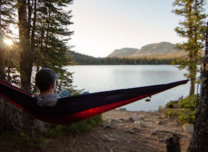
Explore the Mirror Lake Scenic Byway
4.7Mirror Lake Scenic Byway is breathtaking. There is lots to take in via longer trips, but with numerous viewpoints, lakes, and the Provo River just off the main highway, the drive through alone is well worth it.There is SO much to do in the Uintas, with activities ranging from lakeside picnics to ...Read more -
Oakley, Utah
Franson Trail
2.05 mi / 108 ft gainFranson Trail is a loop trail that takes you by a river located near Oakley, Utah.Read more -
Kamas, Utah
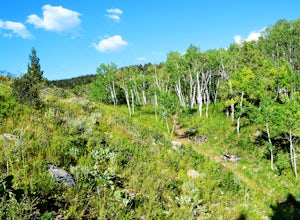
Hike Riley's Canyon
5 mi / 200 ft gainAproximately two miles Southeast of Woodland, UT on Highway 35 you will come to a small turnout on the North side of the road. It is sufficient in size for a handful of vehicles to park, so that passengers can make their way into Riley's Canyon. From the turn off, look to the North and you will s...Read more -
Heber City, Utah
Coyote Canyon Loop from UVU Trailhead
22.75 mi / 3071 ft gainCoyote Canyon Loop from UVU Trailhead is a loop trail that takes you through a nice forest located near Heber City, Utah.Read more -
Heber City, Utah
Coyote Canyon Loop from Coyote Lane
23.21 mi / 3045 ft gainCoyote Canyon Loop from Coyote Lane is a loop trail that takes you through a nice forest located near Heber City, Utah.Read more -
Park City, Utah
Fastpitch Trail
2.23 mi / 171 ft gainFastpitch Trail is a loop trail that takes you past scenic surroundings located near Park City, Utah.Read more -
Peoa, Utah
Rockport Lake Trail
2.09 mi / 325 ft gainRockport Lake Trail is an out-and-back trail located near Coalville, Utah.Read more -
Park City, Utah
Enchanted Forest Trail
2.35 mi / 531 ft gainEnchanted Forest Trail is an out-and-back trail where you may see beautiful wildflowers located near Heber City, Utah.Read more -
Park City, Utah
Aqueduct Trail
1.54 mi / 144 ft gainAqueduct Trail is an out-and-back trail where you may see wildflowers located near Heber City, Utah.Read more -
Park City, Utah
1000 Turns Trail
3.58 mi / 709 ft gain1000 Turns Trail is an out-and-back trail where you may see wildflowers located near Heber City, Utah.Read more -
Park City, Utah
Skid Row and Lost Prospector Loop
2.32 mi / 417 ft gainSkid Row and Lost Prospector Loop is a loop trail where you may see local wildlife located near Park City, Utah.Read more -
Park City, Utah
Deer Valley Resort
5.07.51 mi / 1161 ft gainDeer Valley Resort is a loop trail where you may see local wildlife located near Park City, Utah.Read more -
Park City, Utah
Bike or Hike Park City's Mid Mountain Trail
5.022.8 mi / 4457 ft gainThe Mid-Mountain Trail is unique to Park City. It's an epic trail that connects Deer Valley, to Park City Mountain Resort, and Canyons Village. Traversing at approximately 8,300 feet elevation, the trail is comprised of 13 sections and is a 22.8 mile point-to-point ride from Deer Valley to Canyon...Read more -
Park City, Utah
Bald Mountain via Silver Lake and Ontario Loop
4.68 mi / 1276 ft gainBald Mountain via Silver Lake and Ontario Loop is a loop trail where you may see wildflowers located near Park City, Utah.Read more -
Park City, Utah
Bald Mountain via Silver Lake Trail
4.18 mi / 1355 ft gainBald Mountain via Silver Lake Trail is an out-and-back trail that takes you through a nice forest located near Park City, Utah.Read more


