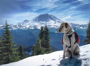
The Best Hiking in Enumclaw
Looking for the best hiking in Enumclaw? We've got you covered with the top trails, trips, hiking, backpacking, camping and more around Enumclaw. The detailed guides, photos, and reviews are all submitted by the Outbound community.
Top hiking spots in and near Enumclaw
-
Enumclaw, Washington
Pinnacle Peak Full Loop
4.14 mi / 2306 ft gainPinnacle Peak Full Loop is a loop trail where you may see beautiful wildflowers located near Enumclaw, Washington.Read more -
Enumclaw, Washington
Pinnacle Peak Loop Trail
3.03 mi / 1145 ft gainPinnacle Peak Loop Trail is a loop trail where you may see beautiful wildflowers located near Enumclaw, Washington.Read more -
33317 Southeast Green River Gorge Road, Washington
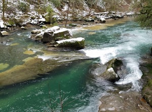
Explore the Green River Gorge
3.5The Franklin Ghost Town trailhead is just a large muddy lot, surrounded by no trespassing signs. When you pull in you will see signs for a $5 day use fee, just fill out the form and drop it in the box. There are two trails that leave the lot, one heads down to the river and is probably a mile rou...Read more -
Black Diamond, Washington
Hike Franklin Ghost Town
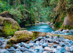
Visited here in August and the water was possibly the coldest I've ever swam in. A great half-day trip as the hikes are easy and the spots are quick to get to. The falls are located just to side of the road with a couple of different places to park. There's a $5 or $10 entrance/parking fee. A gre...Read more -
Maple Valley, Washington
Stinger, Route 66 and Lower Beaver Tracks
1.4 mi / 151 ft gainStinger, Route 66 and Lower Beaver Tracks is a loop trail where you may see local wildlife located near Maple Valley, Washington.Read more -
Maple Valley, Washington
Stinger, Once Upon a Time and Rabbit Role
2.11 mi / 157 ft gainStinger, Once Upon a Time and Rabbit Role is a loop trail where you may see local wildlife located near Ravensdale, Washington.Read more -
Auburn, Washington
Mount Rainier Overlook via River and Katie's Trail
2.04 mi / 56 ft gainMount Rainier Overlook via River and Katie's Trail is a loop trail that takes you by a river located near Auburn, Washington.Read more -
Puyallup, Washington
Wildwood Park Loop
0.73 mi / 62 ft gainWildwood Park Loop is a loop trail that provides a good opportunity to view wildlife located near Puyallup, Washington.Read more -
Carbonado, Washington
Hike the Upper Foothills Trail along the Carbon River
10 mi / 30 ft gainThe upper Foothills Trail from the Fairfax Bridge to Manley Moore can be hiked starting from either end as an "out and back" hike or a "point to point" by shuttling with two vehicles. Starting from the upper end of the trail you begin by walking under the Kolisch Rd. Bridge, which has the Manley...Read more -
Carbonado, Washington
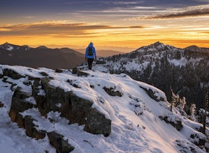
Hike to Summit Lake
4.55 mi / 1250 ft gainSummit Lake, nestled in a small basin just north of Mt. Rainier National Park in the Clearwater Wilderness, has everything a hiker could want in a day-hike or easy overnight backpack. The views, the well-maintained trail, and a perfect distance make this hike a must-do for anybody in the Pacific ...Read more -
Carbonado, Washington
Hike Bearhead Mountain
5.06 mi / 1800 ft gainFormerly the site of an old fire lookout, Bearhead Mountain located in the Clearwater Wilderness, provides great unobstructed views of the north side of Mount Rainier, Little Tahoma, and many other surrounding Cascade mountain peaks. In the summer months you are likely to encounter great wildflow...Read more -
Maple Valley, Washington
Elk Ridge and Carey Creek
4.87 mi / 741 ft gainElk Ridge and Carey Creek is a loop trail where you may see beautiful wildflowers located near Maple Valley, Washington.Read more -
Carbonado, Washington
Mystic Lake via Carbon River and Wonderland Trails
25.88 mi / 4957 ft gainMystic Lake via Carbon River and Wonderland Trails is an out-and-back trail that takes you by a lake located near Wilkeson, Washington.Read more -
Carbonado, Washington
Florence Peak Trail
7.16 mi / 3622 ft gainFlorence Peak Trail is an out-and-back trail that takes you by a waterfall located near Wilkeson, Washington.Read more -
Carbonado, Washington
Carbon Glacier, Mowich Lake and Itsup Creek Loop Trail
28.04 mi / 6407 ft gainCarbon Glacier, Mowich Lake and Itsup Creek Loop Trail is a loop trail that takes you by a lake located near Wilkeson, Washington.Read more -
Carbonado, Washington
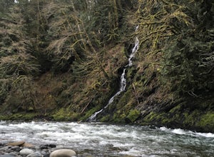
Chenuis Falls Trail
7.73 mi / 702 ft gainChenuis Falls Trail is an out-and-back trail that takes you by a waterfall located near Greenwater , Washington.Read more


