The Best Hiking in Canada
Looking for the best hiking in Canada? We've got you covered with the top trails, trips, hiking, backpacking, camping and more around Canada. The detailed guides, photos, and reviews are all submitted by the Outbound community.
Top hiking spots in and near Canada
-
Improvement District No. 9, Alberta
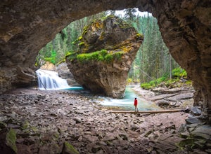
Hike to the Johnston Canyon Cave
4.43.4 mi / 700 ft gainIt’s amazing how much varied scenery you see over the course of the very short 1.7 mile hike. Follow the catwalks through the canyon as the stunning turquoise water flows below. If you’re feeling up for a longer hike, you can continue along the trail to the Ink Pots (makes for a great winter hike...Read more -
Banff, Alberta
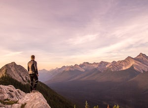
Dawn to Dusk in Banff National Park
5.06.8 miThis is a micro adventure in one of the world’s most desired National Parks. The common excuse for those who tend to skip the great outdoors is lack of time. This one day adventure is an example that you can cram a lot into a day! Dawn: Sunrise hike up to South Ridge in Banff. Start at the famous...Read more -
North Vancouver, British Columbia
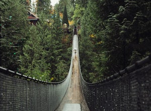
Explore the Capilano Suspension Bridge
3.7This is a great place to visit to get a feeling for the outdoors of Canada. The bridge is a little scary when a lot of people are walking across, but it is well worth the look.Measuring 140 m (460 ft) long, the bridge crosses over the Capilano River in the District of North Vancouver, British Col...Read more -
Improvement District No. 9, Alberta
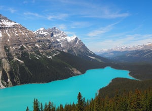
Peyto Lake Overlook and Bow Pass Summit
4.94.22 mi / 863 ft gainPeyto Lake is a scenic location on the Icefields Parkway about 40 km (25 miles) north of the town of Lake Louise. Access to the viewing area for this magnificent area is immediately off the parkway and is well signposted. From the parking lot at Bow Summit, a short paved trail leads to one of th...Read more -
Tobermory, Ontario
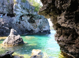
Cliff Jump at the Grotto
4.6What if you could free dive, cliff jump and embark on a hundred mile hiking journey, all in the same place? Well, you can!The Grotto is a small cave on the shores of the Georgian Bay. It is accessible by land, if you are willing to scramble down a rock face to the base of the water.Inside, the wa...Read more -
Whistler, British Columbia
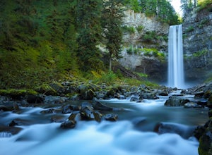
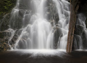
Explore Brandywine Falls
4.40.6 miBrandywine Falls is a spectacular 70 metre waterfall. It is best seen from the viewpoint which also presents some marvelous views of Daisy Lake and the surrounding mountains. But you can also get to the bottom with a bit of scrambling down the side of the cliff.Brandywine Falls is located along t...Read more -
West Vancouver, British Columbia
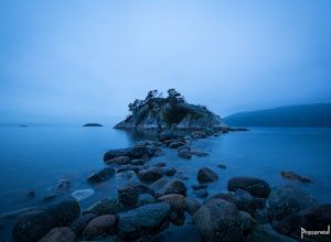
Explore WhyteCliff Park, West Vancouver
4.4Escape to the vanishing horizon of the Pacific Ocean, where time is measured by the rhythm of waves.Located near West Vancouver's Horseshoe Bay neighbourhood, Whytecliff Park is home to more than 200 marine animal species and is one of the first Marine Protected Areas in Canada. You're almost gua...Read more -
Whistler, British Columbia
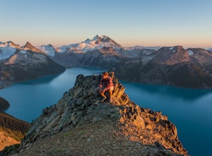
Panorama Ridge
4.817.17 mi / 5289 ft gainTake the Sea to Sky Highway (HWY 99) north from Vancouver up towards Whistler. Turn off the highway about 30 minutes before Whistler Village onto Daisy Lake Road. There are signs along the highway indicating the Garibaldi Lake turn off. The trailhead is located at the end of Daisy Lake Road. Ther...Read more -
Improvement District No. 9, Alberta
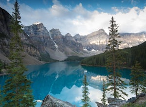
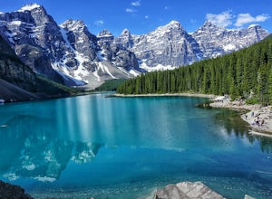
Moraine Lake
4.8Showing up at Moraine Lake before dawn is a must as to avoid the multitude of tours busses. The morning sun is subtle and magical. The lake, being glacially fed, does not reach its crest until mid to late June. When it is full, it reflects a distinct shade of blue. The color is due to the refract...Read more -
Lake Louise, Alberta
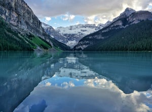
Hike the Plain of Six Glaciers
4.74.2 mi / 1263.1 ft gainStarting from the parking lot on the east end of Lake Louise, there are a few options you can take to get to the Plain of Six Glaciers. One is to head directly along the lakeshore trail, and in about 7 km (4.2 miles) you will be at the lookout offering the best vantage point of the glacier field....Read more -
Improvement District No. 9, Alberta
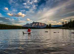
Kayak Two Jack Lake
4.2Of all the lakes in the Banff area, this was one of my favorites to get out on the water. Don't expect the bright blue glacial waters of some of the other lakes in the Canadian Rockies, but the water is pristine and it was one of the few places I went where it felt like it was all locals hanging...Read more -
Jasper, Alberta
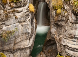
Explore Maligne Canyon
4.6This canyon, although spectacular during the spring and summer as water thrashes through the canyons, should be explored in the off-season (mid-fall to late spring) to avoid masses of tourists. In addition to it being quieter, when the water levels recede, unique geological formations can be seen...Read more -
Coquitlam, British Columbia
Hike to Sawblade Falls
3.9To reach the trailhead, follow Harper Road until you reach the Port Coquitlam Gun Club, then park along the side of the road. Walk past the yellow gate and take the first trail to your left. About 10 minutes down the trail, you will reach a gravel logging road. Take an immediate left down the pat...Read more -
North Vancouver, British Columbia
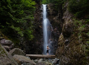
Hike to Norvan Falls
4.38.7 miThe trail starts in Lynn Headwaters Regional Park. This is a fantastic day hike that give you just enough of a challenge but isn't too long. It's about 14km to the norvan waterfalls and back ( 7km each way) and it totally work the walk. There is very minimal gain on this hike. The first bit of th...Read more -
Improvement District No. 9, Alberta
Eiffel Lake via Valley of Ten Peaks
5.07.35 mi / 1647 ft gainHike with amazing views of Valley of Ten Peaks, including Mount Fay (10,613 ft), Mount Little (10,131 ft), Deltaform Mountain (11,234 ft), and Wenkchemna Peak (10,401 ft) to two breathtaking glacial lakes in the heart of the Continental Divide. From the lake, the trail is quite easy to follow, a...Read more -
West Vancouver, British Columbia
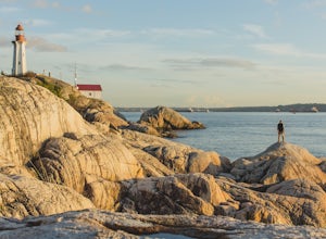
Explore Lighthouse Park
4.5To get to Lighthouse Park, head westbound along Marine Drive in West Vancouver. As Marine Drive continues past little shops and businesses, it will begin to narrow and the road will wind around the coastline. Continue past Caufield Cove Marina and watch for the Lighthouse Park sign on your left. ...Read more

