The Best Hiking in France
Looking for the best hiking in France? We've got you covered with the top trails, trips, hiking, backpacking, camping and more around France. The detailed guides, photos, and reviews are all submitted by the Outbound community.
Top hiking spots in and near France
-
Chamonix-Mont-Blanc, France
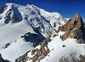
Climb the Aiguille du Midi-Plan Traverse
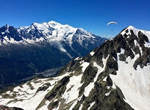
2.5 mi / 1148.3 ft gainThe Aiguille du Midi Cable Car is the #1 tourist destination in the world’s capital for extreme sports, Chamonix. For regular tourists, a trip to the top of the 3842 m-high cable car museum provides plenty of excitement for one day. But for adventure seekers and outdoor enthusiasts, it’s just the...Read more -
Étretat, France
Explore the Cliffs of Étretat
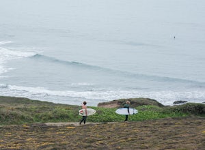
3.05 mi / 394 ft gainÉtretat is a small tourist and farming town on the coast of Normandy, best known for its coastal cliffs. It features wide pebbled beaches, natural arches and an eroded rock—and hiking trails connecting them all together. I didn't spend much time in town, but it looked like a great little place to...Read more -
Chamonix-Mont-Blanc, France
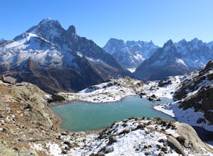
Hike to Le Lac Blanc
5 mi / 1657 ft gainThis adventure begins at the Flégère gondola in Les Praz (a village in the NorthEast section of Chamonix), which is easy to get to with the free Chamonix bus. Take the Flégère gondola to La Flégère, situated at 1894 meters (6,213 feet). The ride up itself shouldn't take more than ten minutes, but...Read more -
Boëge, France
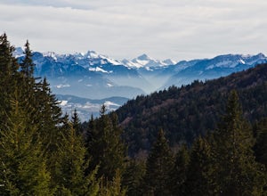
Hike to Signal des Voirons
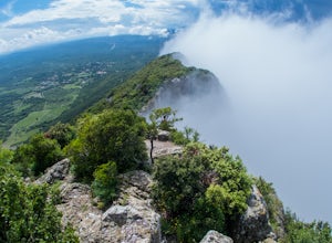
Begin at the marked path to the right of the parking lot, near the monastery. The trail is steep at first, but this lasts only for a few meters, in the undergrowth. When you leave the woods, follow the paved road for about one hundred meters, then turn left at the slope, indicated by an arrow sig...Read more -
Valensole, France
Photograph the Lavender fields of Plateau de Valensole
4.014.9 miIdeal for a day trip or a series of little hikes throughout various fields, the Plateau de Valensole is located in the Provence region of France.Every year in late June and early July you'll find lavender fields filled with purple blooms. Sunset creates a beautiful scene as it dips behind the sur...Read more -
Tignes, France
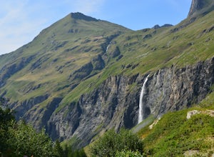
Hike to Lac La Plagne in the French Alps
7.5 mi / 1968.5 ft gainThis beautiful hike features ribbon and horse tail waterfalls backdropped behind wildflowers and grazing dairy cows along the creek descending the mountain. Though there are some steep sections to the hike, this day outing is accessible by all levels of adventurer.Getting thereAfter a short driv...Read more -
Talloires-Montmin, France
Hike and Camp La Tournette
3.9 mi / 2854.3 ft gainIt is at the place called Chalet de l'Aulp (1424 m) that we began this walk. This is after the tarmac road terminus. A small remark: the stony road but carrossable continues to the chalet where you can park your car. But you can also start it from a place called Les Prés Ronds (1216 m). At the ch...Read more -
Gavarnie, France
Hike Cirque de Gavarnie
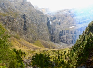
5.08 miHidden among the many villages of the French Pyrenees is an amazing region of hiking trails, the most popular sight including the largest waterfall in Europe in a crescent-like shelter of gray, purple, and green rock faces—a cirque. Hike past meadows, through forests, and on a rocky ridge. The ...Read more -
Beaufort, France
Snowshoe the Cormet de Roselend
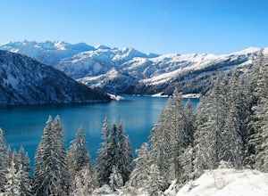
18.6 mi / 2986 ft gainThe Roselend mountain pass is known in the cycling world for being part of the Tour de France, but in the winter it is essentially deserted. There are a few old buildings, a small electrical station and you'll perhaps see some locals out for a ski, but my bet is you'll feel magnificently alone in...Read more -
Chamonix-Mont-Blanc, France
Explore the Le Brévent Summit Alpine Area
Begin this hike by either making the 3.5 hour hike from the town of Chamonix to the top of Le Brévent (roughly 4,900 ft gain), or take the Brévent cable car to the top.(31€ roundtrip). Once at the summit take a moment to enjoy the 360° view, the fun is only getting started. After getting your fil...Read more -
Marlenheim, France
Drive the Route des Vins d'Alsace. Alsace Wine Road
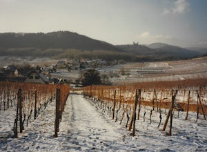
110 mi / 500 ft gainThe Alsacian Wine road is a 110 mile long scenic road at the foothills of the Vosges Mountains. The road begins at Marlenheim in Northern Alsace and ends south of the city of Thann in the south. The road goes through 73 scenic and historic villages. There are over 300 wine cellars offering tours ...Read more -
Cazevieille, France
Hike to the Pic Saint Loup
3.7 mi / 1049.9 ft gainYou start the hike from the big carpark just outside the Cazevieille village (you'll find lots of signs to go there). The beginning is located on the top left corner of the carpark, close to the garbage.Why the carpark is so big ? Because a lot of people go there during summer ! Hikers, climbers ...Read more -
Chamonix-Mont-Blanc, France
Climb the Aiguilles Crochues Traverse
5 mi / 1476.4 ft gainThe valley of Chamonix-Mont-Blanc is most well known for the mountain it’s named after, Western Europe’s highest peak. Yet just right across the valley on its north side lies a dramatic and beautiful range that cuts the horizon with tall rock spires: The Aiguilles Rouges.Part of the Rouges range,...Read more -
Crozon, France
Hike La Pointe de Dinan, Bretagne
1.2 miAn easy walk through and all around "La pointe". It's a loop that you can do in both ways. Just follow the tracks. It will take half an hour to do the circle. I did it with flip flops but I recommand proper shoes.Read more -
Marseille, France
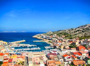
Hike the "Calanques de Marseille"
You can go there either by car, boat, or bus and then start hiking.I personnally did it using the bus service. It is quite simple, but since we were not in the high season, there was not a lot of bus going there. From Marseille, you need to go to the metro station Castellane and take the bus 19 t...Read more -
Etsaut, France
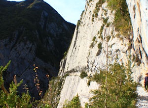
Hike through La Chemin de la Mature
5.07 mi / 2500 ft gainThis hike begins at a trailhead on the side of the road just south of Etsaut at Pont de Cebers. Start by taking the famous, long-distance, Pyrenees route, the GR10. You'll see a sign a yellow sign with distances throughout the hike. The route you'll be taking is one that says "Col d'Arras par L...Read more

