The Best Hiking in South Africa
Looking for the best hiking in South Africa? We've got you covered with the top trails, trips, hiking, backpacking, camping and more around South Africa. The detailed guides, photos, and reviews are all submitted by the Outbound community.
Top hiking spots in and near South Africa
-
Cape Town, South Africa
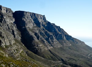
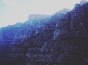
Table Mountain, Cape Town
5.01.9 mi / 2300 ft gainAfter parking at the lot near the Platteklip Gorge trailhead, start hiking south up the path. It soon will become extremely steep with large slabs of rock acting as some sort of giant stairs that us peons must crawl over until we eventually reach the summit. If you have long legs and are taller t...Read more -
Cape Town, South Africa
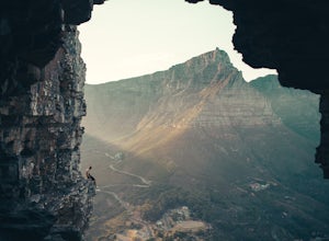
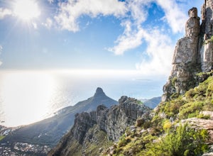
Hike to Wally's Cave on Lion's Head
5.02.5 miAt the bottom (not really the bottom, but the parking on the way to Signal Hill) you take the jeep track until you reach the paragliders launch point. There you will see a tiny little stairway path heading up to the right.Follow this path up until you see a massive rock, pass it and take the path...Read more -
Cape Town, South Africa
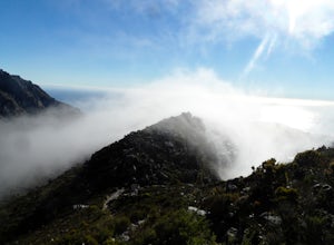
Hike up Devil's Peak
4.04 mi / 2000 ft gainStarting from the parking lot on Tafelberg Road, simply head south from the trailhead and follow the path as it meanders up multiple switchbacks. Stay on the main path at the 4-way junction and continue going straight up through the pine gully and eventually you'll reach the saddle. From here, fo...Read more -
Cape Town, South Africa
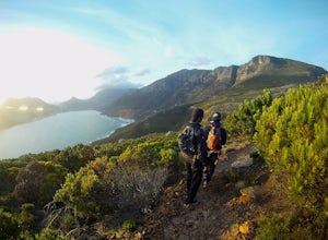
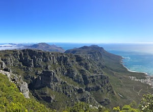
Hike to the top of Chapman's Peak
1.5 mi / 1252 ft gainStarting from the trailhead on Chapman's Peak Drive (one of the most scenic drives in the world), simply follow the trail up as it gradually climbs up east toward a 4-junction. Take that first right at the junction and follow it as it heads south and then turns southwest. Stay on the trail as it ...Read more -
Cape Town, South Africa
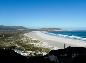
Explore Noordhoek Beach
5.05 miThe northernmost part of Noordhoek Beach that touches the jagged rocks of Chapman's Peak is the more scenic place to start exploring (see map location for directions to the north parking lot). Otherwise, one can park down at one of the beach-access culd-de-sacs in Kommetjie and walk from south-to...Read more -
Chain Ladder Route, South Africa
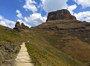
Hike Sentinel Peak
7 miSentinel Peak is a great day trip, but if you can spend the night it will reward you will magnificent sunset and sunrise views! The 7.5 mile (12 km) roundtrip hike begins from the Sentinel Peak Car Park just up the smooth dirt road past the sign for the Witsiehoek Mountain Lodge. (They are in the...Read more -
Cape Town, South Africa
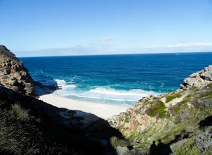
Hike to Diaz Beach
0.5 mi / -450 ft gainAfter parking at the Cape Point parking lot, simply take the small unpaved path that leads south towards the ocean. Head down the gravel steps and follow it as it bears west (right) along a wooden boardwalk. Stay on the boardwalk until it ends at several rocky slabs. Cross the slabs and you shoul...Read more -
Mkhomazi Wilderness area, South Africa
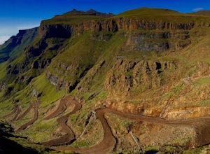
Experience Sani Pass
4.013 mi / 4370 ft gainSani Pass is the highest mountain pass in South Africa, connecting the town of Underberg in KZN to Mokhotlong in Lesotho. It is strictly a 4x4 vehicle drive and takes visitors from a starting elevation of 5,065 ft (1,544 m) at the South African border post all the way up the winding road to 9,435...Read more -
Cape Town, South Africa
Hike Tranquility Cracks via the Pipe Tracks
5.05.6 mi / 1837.3 ft gainTranquility Cracks is one of Cape Town's best-kept secrets, despite it being near a main trail and done in under 4 hours. Essentially the Cracks are a series of passageways and narrow slits and fractures in the sandstone, most of which are wide enough to wriggle through. From atop, the Cracks are...Read more -
Cape Town, South Africa
Table Mountain's India Venster Route
1.6 mi / 2198.2 ft gainStarting about 50 m to the right of the lower cable car station of Table Mountain National Park, this 2.5 km point-to-point hike begins its 670 m elevation gain with a thigh-crushing ascent up a steep trail. Follow the trail about 15 to 20 minutes up to the contour path. Here you will see a green...Read more -
Cape Town, South Africa
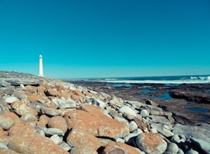
Visit the Slangkop Lighthouse
0.5 mi / 35 ft gainAfter parking in the dirt parking lot, you can simply walk over to the lighthouse (if it's open) and talk to the kind staff there who might let you in for a peek (or a small fee).Otherwise, you can be content with walking around it and taking some photos as you head down the boardwalk trail nearb...Read more -
Stellenbosch, South Africa
Backpack and Camp on Stellenbosch Mountain
8.7 mi / 2788.7 ft gainStart from from the parking area at the Danie Craven Stadium and follow road along the river up to the trailhead. It is a 2km walk to the trailhead which sits at about 200 meters of elevation. Follow the Stellenbosch Mountain Hiking Trail path for approximately 5 kilometers through the rocky land...Read more -
Cape Town, South Africa
Hike Table Mountain via Platteklip Gorge Trail
4 mi / 2300 ft gainPlatteklip Gorge is the shortest route to hike to the summit of Table Mountain. It’s the most direct because the only direction the route takes you is up! The trail begins on Tafelberg Road just past the cableway station at 1,180 ft (360 m). From the get go the trail is steep and if you can imagi...Read more -
Mossel Bay, South Africa
Hike the St. Blaize Trail in Mossel Bay
8.3 mi / 1392 ft gainThe trail begins at the Cape St. Blaize Lighthouse in Mossel Bay. On your way up, keep an eye out for what the locals call Dassies, a medium-sized terrestrial mammal native species that inhabits rock crevices. They are adorable creatures who are most active in the mornings and evenings. From here...Read more -
Hogsback, South Africa
Madonna and Child Falls Hike - Hogsback, South Africa
Hogsback is a picturesque town located in the scenic Amathole Mountains of South Africa’s Eastern Cape Province. Although made up of only several streets, and with a population of just over a thousand, Hogsback delivers its visitors with artistic cafes, quiet inns and a wealth of small town charm...Read more -
West Rand, South Africa
Hike the Karee Trail, Magaliesburg
6.8 mi / 1099.1 ft gain1st you start at 1358.2 meters above sea level, in the valley. You walk bellow the cliff for about an hour you then hike up onto it and walk for about 3 hour at roughly 1550 meters above sea level on top of the ridge which is spectacular. After you have done some beautiful sight-seeing you drop d...Read more

