The Best Hiking in Supai
Looking for the best hiking in Supai? We've got you covered with the top trails, trips, hiking, backpacking, camping and more around Supai. The detailed guides, photos, and reviews are all submitted by the Outbound community.
Top hiking spots in and near Supai
-
Littlefield, Arizona
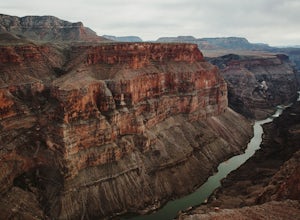
Grand Canyon via Whitmore Canyon Trail
1.72 mi / 889 ft gainGrand Canyon via Whitmore Canyon Trail is a loop trail that takes you by a river located near Supai, Arizona.Read more -
Littlefield, Arizona
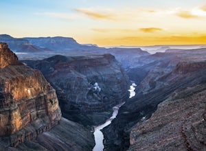
Explore the Toroweap Overlook
5.0Toroweap Overlook can be accessed via Country Road #109, 8 miles west of Fredonia, AZ. It's about a two hour drive along a dirt road, with the final stretch becoming much more technical over larger rocks (a truck with high clearance is recommended). Tuweep Campground is the only area you're allo...Read more -
Littlefield, Arizona
Camp at Tuweep Campground
5.0There are a number of ways to access Tuweep – and all access moves from the north to the south as you make your way toward the campsites. The most reliable road is Country Road #109 (a dirt road), which begins about eight miles west of Fredonia, Arizona. It’s also known as the Sunshine Route. On...Read more -
Littlefield, Arizona
Lava Falls Trail
2.76 mi / 2467 ft gainLava Falls Trail is a 4.2 kilometer lightly trafficked out-and-back trail that takes you by a river located near Colorado City, Arizona.Read more -
Supai, Arizona
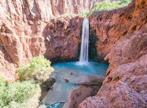
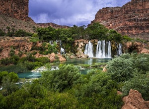
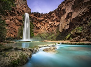
Havasu Falls in the Havasupai Reservation
4.710.4 mi / 1647 ft gainThe Havasupai Reservation is a remote area just outside Grand Canyon National Park, full of blue-green water and dramatic waterfalls. Despite being an extremely isolated location, camping in the canyon is overwhelmingly popular and reservations are required. On popular weekends you will be shari...Read more -
Supai, Arizona
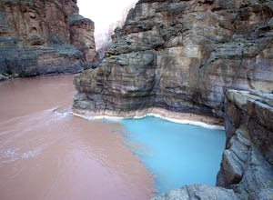
Confluence of the Colorado River and Havasu Creek
5.016.62 mi / 4199 ft gainHike: Starting from the Havasupai campgrounds, which is a 10 mile hike in itself from Hualapai Hilltop, the trail goes past Mooney Falls to Beaver Creek for 4 miles. The elevation gain is limited but makes up for difficulty with route finding. Getting to Beaver Falls will require creek crossings ...Read more -
Supai, Arizona
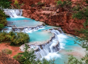
Navajo Falls
4.01.4 mi / 249 ft gainNavajo Falls is a gem that resulted from the flash flood that tore through Havasu Canyon in August of 2008. Although this flash flood forever changed the landscape of the canyon, it created a fantastic spot for travelers to enjoy in the afternoon and evening when camping at Havasupai Campground. ...Read more -
Supai, Arizona
Hidden Falls in the Havasupai Reservation
5.01.25 mi / 233 ft gainComing from the campground, you'll want to backtrack back towards Navajo and Fifty Foot falls, crossing the bridge that you came over coming into the campground. Continue on the trail until you see a picnic table with a small canopy with a big piece of tarp/burlap hanging from the front. Go past ...Read more -
Supai, Arizona
Mooney Falls
4.81.36 mi / 200 ft gainHiking down to Mooney Falls is a great, short adventure when camping at the Havasupai Campground. Not only that, it is certainly the most adventurous waterfall to reach, requiring travelers to hike down through a menacing passageway cut through the side of the canyon wall by miners at the turn of...Read more -
Supai, Arizona
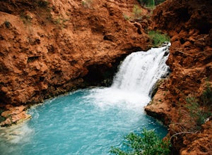
Beaver Falls
5.05.28 mi / 1200 ft gainSo you've made it down to the Havasu campground after a ten mile hike from Hualapai Hilltop - time for more hiking! The 8 mile (RT) trek to Beaver Falls is well worth the trip, and can offer some quieter moments for those looking to escape the busyness of Havasu and Mooney Falls. To start out, h...Read more -
Supai, Arizona
South Bass Trail
12.26 mi / 4610 ft gainSouth Bass Trail is an out-and-back trail that takes you by a river located near Grand Canyon, Arizona.Read more -
Grand Canyon Village, Arizona
Dripping Springs via Dripping Springs and Hermit Trail
6 mi / 3294 ft gainDripping Springs via Dripping Springs and Hermit Trail is an out-and-back trail that takes you by a river located near Grand Canyon, Arizona.Read more -
Grand Canyon Village, Arizona
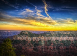
Photograph a Sunset from the North Rim Lodge
0.5 miI've read that only approximately 10% of Grand Canyon National Park visitors spend time at the North Rim, meaning the crowds are smaller in the most beautiful areas you can immerse yourself in without having to backpack to the bottom.This isn't so much of an adventure as it is the perfect way to ...Read more -
Grand Canyon Village, Arizona
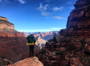
Backpack Hermit Trail into the Grand Canyon
4.016 mi / 4000 ft gainNot many people envision their romantic Valentine's Day getaway as a grueling 8 mile hike into the Grand Canyon, but I couldn't think of anything better! If you're planning a trip for the busier summer months, be sure to call ahead or fill out a backcountry permit request to make sure you get a c...Read more -
Grand Canyon Village, Arizona
Hermits Rest to Powell Point Trail
11.97 mi / 1870 ft gainHermits Rest to Powell Point Trail is an out-and-back trail that takes you past scenic surroundings located near Grand Canyon, Arizona.Read more -
Grand Canyon Village, Arizona
Hermit Camp to Monument Creek Camp via Tonto Trail
6.25 mi / 1247 ft gainHermit Camp to Monument Creek Camp via Tonto Trail is an out-and-back trail that takes you past scenic surroundings located near Grand Canyon, Arizona.Read more


