Mesick
Top Spots
Manistee River Trail Loop
Mesick, Michigan
21.69 mi
/ 2615 ft gain
Day 1:
Arrive at Seaton Creek Campground and pay for parking for the number of nights you plan on hiking the loop. For this particular trip, I hiked the loop in 2.5 days and 2 nights.
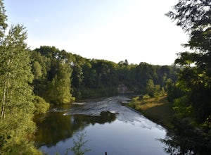
Hike 1.4 miles from Seaton Creak Campground to a suspension footbridge on the banks of the Manistee River. At this point, take the Manistee River Trail and follow the Manistee River downstream. This stretch of...
Manistee River: Hodenpyl Dam to Rainbow Bend
Mesick, Michigan
34.85 mi
/ 2474 ft gain
Manistee River: Hodenpyl Dam to Rainbow Bend is a point-to-point trail that takes you by a lake located near Mesick, Michigan.
Backpack the Manistee River Trail
Mesick, Michigan
4.0
17.6 mi
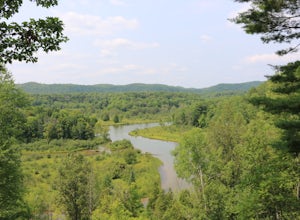
Starting at the Red Bridge River Access Area just off North Coates Hwy (about 8 miles east of Brethren, Michigan) there is a small parking lot opposite of the trailhead where you can leave your car. The trail is part of the North Country Trail (NCT) so it is well marked with signs leading the way. The hike begins through trees and some rolling hills and you are soon rewarded with incredible vie...
Hike the North Country Trail: Manistee River Section
Mesick, Michigan
5.0
19.8 mi
/ 2739 ft gain
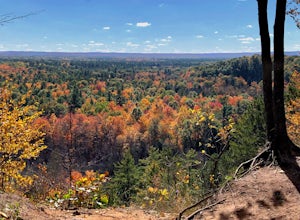
This trail is perfect for backpacking, hiking, trail running, snow shoeing, or cross country skiing! The North Country Trail in the Manistee River section is 19.8 miles long, out and back. Depending on the distances you plan to cover, the trail ranges from beginner - advanced use. Given the elevation gain, make sure that all in your party are of able physical health.Dogs are allowed on the trai...
Hike the Rollways on the North Country Trail
Kingsley, Michigan
4.0
3 mi
Park at the High Rollway Observation Deck in Kingsley. There's actually two parking lots that you will come to on a dirt road. I suggest parking at the eastern most lot (drive straight instead of making a final right turn).
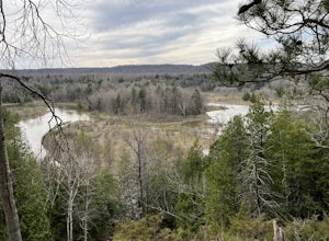
There are two primary wooden platform lookouts near the parking lots. Be sure to stop at both. Continue hiking west and you will come to even more expansive views on the tra...
Manistee River Trail South
Harrietta, Michigan
4.63 mi
/ 663 ft gain
Manistee River Trail South is a point-to-point trail that takes you by a river located near Harrietta, Michigan.
North Country Trail: Manistee River Section
Harrietta, Michigan
19.55 mi
/ 2621 ft gain
North Country Trail: Manistee River Section is an out-and-back trail that takes you by a river located near Harrietta, Michigan.
Pine River Kayak
Wellston, Michigan
8.73 mi
/ 522 ft gain
Pine River Kayak is a point-to-point trail that takes you by a river located near Wellston, Michigan.
Michigan Legacy Art Park
Thompsonville, Michigan
1.83 mi
/ 269 ft gain
Michigan Legacy Art Park is a loop trail that takes you through a nice forest located near Thompsonville, Michigan.
Places to stay
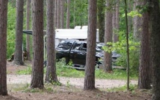
Mesick, Michigan
Seaton Creek Campground
Overview
Seaton Creek Campground adjoins Seaton Creek and is at the upper end of the backwater of Hodenpyl Dam Pond on the Big Manistee R...
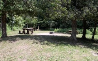
Wellston, Michigan
Peterson Bridge
Overview
Peterson Bridge Campground is located on the Pine River in Michigan’s Manistee National Forest. The location on the river makes ...
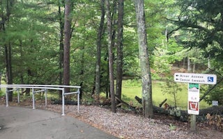
Honor, Michigan
Platte River Campground
Overview
Platte River Campground is located in the southern district of Sleeping Bear Dunes National Lakeshore, on the lower peninsula of...
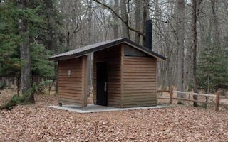
Lake Township, Michigan
Gleasons Landing
Overview
Gleasons Landing is a very popular campground on the banks of the Pere Marquette River. With a selection of shaded and secluded ...
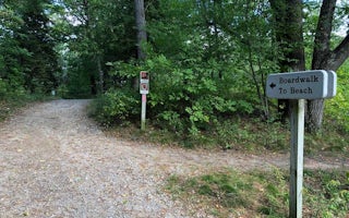
Empire, Michigan
D.H. Day Campground
Overview
D.H. Day Campground is located in the northern district of Sleeping Bear Dunes National Lakeshore, on the lower peninsula of Mic...
Guides and stories
Quick links
- The best hiking trails in Mesick
- The best backpacking in Mesick
- The best camping in Mesick
- Top adventures in Mesick
Community
© 2023 The Outbound Collective - Terms of Use - Privacy Policy

