Springville
Top Spots
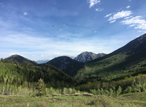
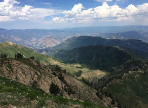
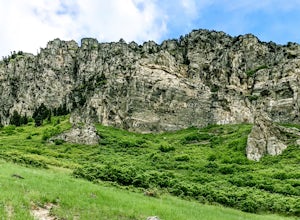
Hike to the Summit of Buckley Mountain
Provo, Utah
4.0
18 mi
/ 5000 ft gain
There are a few ways to get to the top of Buckley, but the funnest (and most strenuous) way to get up to Buckley is taking the trail up Slate Canyon. Slate Canyon has a parking lot and bathroom located at the base of the trail, and the trailhead is about ten minutes from the Provo Center Street exit on 1-15. Park in the Slate Canyon parking lot and start up the trail. After about three miles of...
Slate Canyon Loop Trail
Provo, Utah
8.68 mi
/ 3255 ft gain
Slate Canyon Loop Trail is a loop trail that takes you by a river located near Provo, Utah.
Maple Mountain (aka Spanish Fork Peak)
Springville, Utah
10.56 mi
/ 4524 ft gain
The trail starts out very easy, but keep an eye out for the fork in the trail at the creek. It's easy to miss. It's right at the metal bench that will be on the left. Cross the creek and continue another quarter mile or so when you'll notice another branch to your left. Keep going straight here and the rest of the trail is easy to follow (minus the fallen trees across the trail). This trail is ...
Bonneville Shoreline Trail: Y Mountain-Springville
Provo, Utah
15.14 mi
/ 2274 ft gain
Bonneville Shoreline Trail: Y Mountain-Springville is an out-and-back trail that takes you past scenic surroundings located near Provo, Utah.
The Y Trail
Provo, Utah
3.5
2.29 mi
/ 1063 ft gain
Hiking the Y is a classic hike in Provo, Utah—but don't expect it to be easy! There's no shade and not much greenery, so it's a hot, dusty trek to the top. Once you reach the Y, though, the view of the Provo and Utah Lake is amazing. There are also benches at the top.
When you reach the Y, you will first come to a point about halfway up the Y. You can stop here or keep going up the fork in the...
Brigham Young University Botany Pond
Provo, Utah
0.96 mi
/ 46 ft gain
Brigham Young University Botany Pond is a loop trail that takes you by a waterfall located near Provo, Utah.
Left Fork Days Canyon Trail
Springville, Utah
8.88 mi
/ 1696 ft gain
Left Fork Days Canyon Trail is a loop trail that takes you by a river located near Springville, Utah.
Dominguez Hill
Spanish Fork, Utah
1.7 mi
/ 404 ft gain
Dominguez Hill is an out-and-back trail where you may see beautiful wildflowers located near Spanish Fork, Utah.
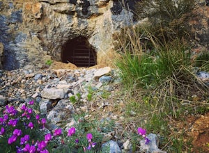
Hike to Buckley's Abandoned Mine
Provo, Utah
4.6
3 mi
/ 200 ft gain
Once you reach the mine it's gated but you can slide in. Follow the main tunnel a hundred or so feet back and climb the 75 foot ladder up to the second level. You can then make your way back out to the cliff face where there is another gate to the outside. That gate is a little trickier to squeeze through but it's a great spot for a campfire on the other side. Bring some wood and mallows to toa...
Places to stay
Springville, Utah
Whiting
Overview
Whiting Campground is located in Maple Canyon, just 3 miles from the town of Mapleton, Utah, at an elevation of 5,400 feet. Visi...
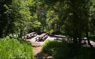
Provo, Utah
Rock Canyon
Overview
Rock Canyon Campground is located on scenic Squaw Peak Road, far above Utah Valley at an elevation of 6,500 feet. Visitors enjoy...
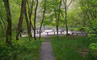
Springville, Utah
Cherry
Overview
Cherry Campground is located on the banks of pretty Hobble Creek just six miles from Springville, Utah, at an elevation of 5,200...
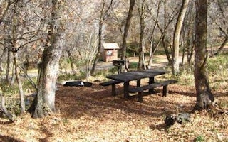
Provo, Utah
Hope
Overview
Hope Campground is located near Provo Canyon along Squaw Peak Road at an elevation of 6,500 feet. This primitive site is popular...
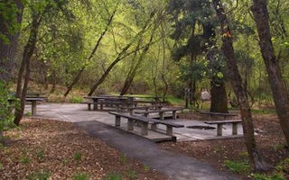
Springville, Utah
Balsam
Overview
Balsam Campground is located on the banks of pretty Hobble Creek just 12 miles from Springville, Utah, at an elevation of 6,000 ...
Guides and stories
Quick links
- The best hiking trails in Springville
- The best backpacking in Springville
- The best camping in Springville
- Top adventures in Springville
Community
© 2023 The Outbound Collective - Terms of Use - Privacy Policy

