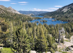
Arnold
Top Spots
Arnold Rim Trail
Arnold, California
7.71 mi
/ 1591 ft gain
Arnold Rim Trail is an out-and-back trail that takes you by a waterfall located near Arnold, California.
San Antonio Creek Falls
Arnold, California
3.16 mi
/ 610 ft gain
San Antonio Creek Falls is an out-and-back trail that takes you by a river located near Arnold, California.
River Canyon Trail
Arnold, California
6.7 mi
/ 1597 ft gain
Rincon Shortcut OHV Trail is an out and back trail that takes you by a river located near Avery, California
Hike the North Grove Trail in Calaveras Big Trees SP
Arnold, California
5.0
1.7 mi
/ 40 ft gain
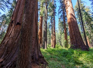
When thinking of the iconic Sequoias of the Sierra Nevada, one usually thinks of Yosemite and Sequoia National Park. However, there is a often forgotten area of Giant Sierra Redwoods that gets far less traffic than the more popular groves. The North Grove Trail takes you through a grove of over 100 Giant Sequoias. The trail starts and ends in the North Grove Parking Lot. The trail is a relative...
Calaveras North Grove Trail
Arnold, California
1.41 mi
/ 167 ft gain
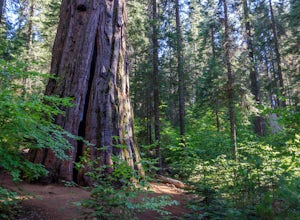
Calaveras North Grove Trail is a loop trail that takes you through a nice forest located near Arnold, California.
Cougar Rock Loop via Cowell Creek and Arnold Rim Trail
Arnold, California
3.82 mi
/ 768 ft gain
Cougar Rock Loop via Cowell Creek and Arnold Rim Trail is a loop trail that takes you by a river located near Avery, California.
Calaveras South Grove Trail
Tuolumne County, California
5.02 mi
/ 774 ft gain
Calaveras South Grove Trail is an out-and-back trail where you may see wildflowers located near Arnold, California.
Hike the South Grove Trail in Big Trees SP
Tuolumne County, California
3.7
5 mi
/ 560 ft gain
The South Grove Trail of Calaveras Big Trees State Park sees far less traffic than the North Grove due to its increased mileage and distance from the park entrance. The trail starts at the South Grove Trail head which is located nine miles east of the entrance on the main park road. The trailhead has bathrooms, but no running water. From the trailhead, head south for approximately 1.5 miles unt...
North Fork of the Stanislaus River from Wa Ka Luu Hep Yoo Campground
Arnold, California
4.43 mi
/ 489 ft gain
North Fork of the Stanislaus River from Wa Ka Luu Hep Yoo Campground is an out-and-back trail that takes you by a river located near Long Barn, California.
Places to stay
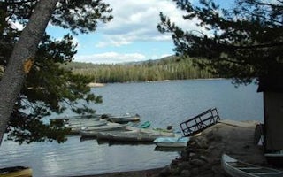
Big Meadow Cmpg
Lake Alpine Lodgepole Group
Overview
Lodgepole Group Campground is located just two miles west of Lake Alpine in northern California. The campground affords breathta...
Big Meadow Cmpg
Big Meadow Stanislaus Natl Fs
Overview
Big Meadow Campground lies at about 6,400 feet elevation on the Stanislaus National Forest. It is located 21 miles east of Arnol...

Pinecrest, California
Pinecrest
Overview
Pinecrest features a large campground by Pinecrest Lake, just 30 miles east of Sonora, at an elevation of 5600 feet. The area in...

Angels Camp, California
Glory Hole Recreation Area
Overview
Glory Hole Recreation Area is located at New Melones Lake on the Stanislaus River. The 12,500 surface-acre lake is the fourth la...
Pioneer, California
South Shore Campground
Overview
South Shore Campground is located next to Lower Bear River Reservoir in the Eldorado National Forest the central Sierra Nevada M...
Pioneer, California
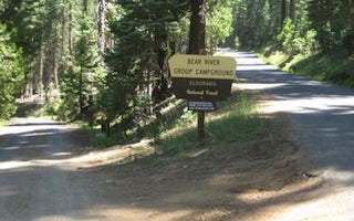
Bear River Group Campground
Overview
The Bear River Group Campground offers four separate group campsites on a site above the south side of the Lower Bear River Rese...
Guides and stories
Quick links
- The best hiking trails in Arnold
- The best backpacking in Arnold
- The best camping in Arnold
- Top adventures in Arnold
Community
© 2023 The Outbound Collective - Terms of Use - Privacy Policy


