Madera County
Top Spots
Norris Trailhead to Jackass Lakes
Madera County, California
5.02 mi
/ 1234 ft gain
Norris Trailhead to Jackass Lakes is an out-and-back trail that takes you by a lake located near Oakhurst, California.
Camp at Greys Mountain Campground
Bass Lake, California
/ 5293 ft gain
From Greys Mountain Campground, Sierra National Forest is your oyster! Enjoy hiking, swimming, fishing, mountain biking, boating, paddle boarding, kayaking, canoeing, and more.
Each site is equipped with a picnic table and a fire ring. The campground has vault toilets and (sometimes) potable water. The campground is currently closed for the season. You can check campground status here. The cost...
Shuteye Peak Trail
Bass Lake, California
13.3 mi
/ 2507 ft gain
Shuteye Peak Trail is an out-and-back trail where you may see beautiful wildflowers located near North Fork, California.
Bull Buck Loop
Oakhurst, California
0.72 mi
/ 112 ft gain
Bull Buck Loop is a loop trail where you may see wildflowers located near Oakhurst, California.
Camp at Nelder Grove Campground in Sierra National Forest
Oakhurst, California
0 mi
/ 0 ft gain
Sites are located along Willow Creek with plenty of shape. Right out of the campground you can hike nearby Bull Buck Trail and discover the giant sequoia trees. This is a first-come first-serve campground so arrive early.Directions: Take Hwy 41 north from Fresno; continue thru Oakhurst to Sky Ranch Road (6S10), which is also Forest Road 10, travel 6.6 miles turn left on 6S47Y, go 1.2 miles to t...
Chimney Trail Loop
Oakhurst, California
1.62 mi
/ 318 ft gain
Chimney Trail Loop is a loop trail that takes you through a nice forest located near Oakhurst, California.
Chimney Trail and Bull Buck Loop
Oakhurst, California
1.8 mi
/ 371 ft gain
Chimney Trail and Bull Buck Loop is a loop trail that takes you by a river located near Fish Camp, California.
Angel Falls via Willow Creek Trail
Bass Lake, California
3.03 mi
/ 630 ft gain
Angel Falls via Willow Creek Trail is a loop trail that takes you by a waterfall located near Bass Lake, California.
Hike the Shadow of the Giants Trail
Oakhurst, California
4.0
1.1 mi
/ 85 ft gain
The Shadow of the Giants National Recreation trail is an amazing 1.1 mile self-guided hike through the heart of Nelder Grove. Take Hwy 41 north from Fresno; continue thru Oakhurst to Sky Ranch Road (6S10 or Forest Road 10) travel approx. 5 miles to Nelder Grove, when you reach the camp area take the first left (small road) and wind down the road until you reach the Shadow of the Giants trailhea...
Places to stay
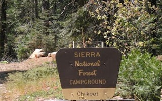
Bass Lake, California
Chilkoot
Overview
Chilkoot is named for the creek that runs by the campground. The facility is shaded by a grove of Ponderosa pine, fir and cedar,...
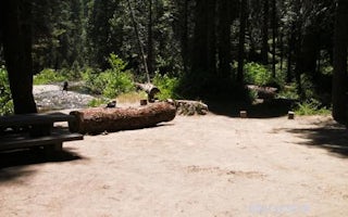
6S40
Soquel Campground
Overview
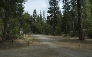
Soquel Campground consists of two loops on the banks of Willow Creek. The primitive sites are well-shaded by pine and fir trees ...
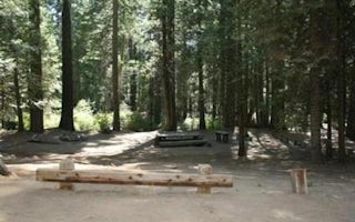
Oakhurst, California
Texas Flats
Overview
Texas Flats Campground is a horse-friendly group camp situated on the banks of McGilvery Creek. It is split into 4 sections name...
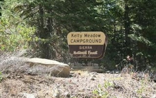
6S10
Kelty Meadow
Overview
Kelty Meadow Campground is located in a mountainous area near Bass Lake. This horse-friendly camp is shaded by pine and cedar tr...
Bass Lake, California
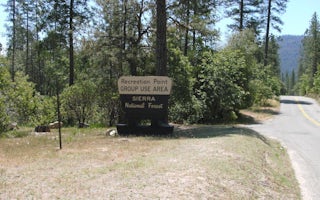
Recreation Point
Overview
Recreation Point is nestled in a partially shaded cove overlooking the northern end of Bass Lake. It offers tent-only, overnight...
Oakhurst, California
Crane Valley
Overview
Crane Valley will be closed the entire 2019 - 2022 camping season due to a massive hazard tree removal Crane Valley Group Campgr...
Guides and stories
Quick links
- The best hiking trails in Madera County
- The best backpacking in Madera County
- The best camping in Madera County
- Top adventures in Madera County
Community
© 2023 The Outbound Collective - Terms of Use - Privacy Policy


