Old Station
Top Spots
Spattercone Nature Trail
Old Station, California
1.3 mi
/ 150 ft gain
Spattercone Nature Trail is a loop trail where you may see wildflowers located near Old Station, California.
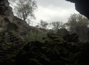
Subway Cave Lava Tubes
Old Station, California
5.0
0.65 mi
/ 33 ft gain
The Subway Cave Lava Tube is located at Old Station in the Lassen National Forest. About 26 miles south of Burney, CA. If coming from the North, it is on Highway 89 (Volcanic Legacy Scenic Byway) on your left right before Highway 44. If coming from Redding, about 60 miles away, you would enter the park on Highway 44 and head North. The Subway Cave Lava Tube will be on your right, right after th...
West Prospect Peak Trail
Old Station, California
22.83 mi
/ 3661 ft gain
West Prospect Peak Trail is an out-and-back trail where you may see local wildlife located near Old Station, California.
Hike to Cinder Cone
Old Station, California
5.0
4 mi
/ 846 ft gain
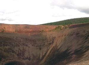
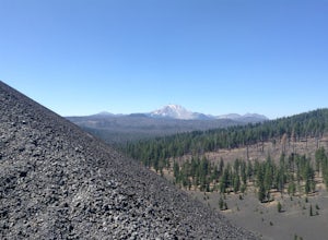
Cinder Cone Trail For 1.2 miles, the trail gently slopes up through a forest. The Fantastic Lava Beds form a wall to your left. The Fantastic Lava Beds were formed by several eruptions of lava from Cinder Cone. The trail is mostly cinder erupted from Cinder Cone. Walking on cinder is similar to walking on sand.The trail then exits the forest and opens up into a field of cinder. Cinder Cone (6,9...
Hike to Snag Lake via the Cinder Cone
Old Station, California
12.5 mi
/ 2000 ft gain
Start from the Butte Lake trailhead, off Highway 44 at the north end of Lassen Volcanic National Park. From the parking lot walk past the little boat launch and the trailhead is obvious in front of you. Be mentally prepared to be walking in loose sand for most of this trip (and bring ankle or knee braces if you have a weak joint). You'll walk along the edge of the intimidating black "fantastic...
Butte Lake-Snag Lake-Cinder Cone Loop
Lassen County, California
12.23 mi
/ 2041 ft gain
Butte Lake-Snag Lake-Cinder Cone Loop is a loop trail that takes you by a lake located near Old Station, California.
Butte Lake to Snag Lake loop
Lassen County, California
14.75 mi
/ 2126 ft gain
Butte Lake to Snag Lake Loop Trail is a loop trail that takes you by a lake located near Old Station, California.
Cinder Cone Nature Trail
Lassen County, California
4.84 mi
/ 997 ft gain
Cinder Cone Nature Trail is a loop trail that takes you by a lake located near Old Station, California.
Prospect Peak Trail
Lassen County, California
6.95 mi
/ 2303 ft gain
Prospect Peak Trail is an out-and-back trail where you may see beautiful wildflowers located near Old Station, California.
Places to stay
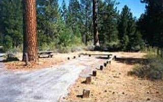
Volcanic Legacy Scenic Byway
Hat Creek
Overview
Hat Creek is one of six campgrounds available in the Hat Creek Recreation Area, home to some of the area's best trout fishing. S...
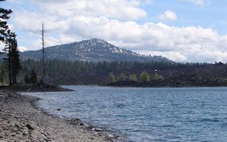
Old Station, California
Butte Lake
Overview
Butte Lake Campground (elevation 6,100 feet) is located in the northeastern section of Lassen Volcanic National Park in northern...
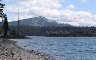
Old Station, California
Butte Lake Group
Overview
Butte Lake Group Campground (elevation 6,100 feet) is located in the northeastern section of Lassen Volcanic National Park in no...
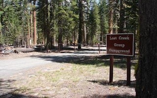
Volcanic Legacy Scenic Byway
Lost Creek Group
Overview
Lost Creek Group Campground (elevation 5,700 ft.) is approximately five miles south of Manzanita Lake, and close to the Lost Cr...
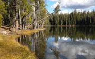
Volcanic Legacy Scenic Byway
Summit Lake North
Overview
Summit Lake North Campground (elevation 6,700 ft.) is conveniently located on the main road of Lassen Volcanic National Park. Th...
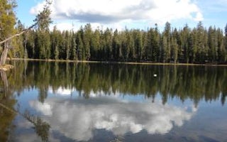
Volcanic Legacy Scenic Byway
Summit Lake South
Overview
Summit Lake South Campground (elevation 6,700 ft.) is conveniently located on the main road of Lassen Volcanic National Park. Th...
Quick links
- The best hiking trails in Old Station
- The best backpacking in Old Station
- The best camping in Old Station
- Top adventures in Old Station
Community
© 2023 The Outbound Collective - Terms of Use - Privacy Policy


