Bakersfield
Top Spots
Bakersfield Bluffs
Bakersfield, California
3.21 mi
/ 279 ft gain
Bakersfield Bluffs is a loop trail that takes you by a river located near Bakersfield, California.
Hart Park Big Loop
Bakersfield, California
6.39 mi
/ 1001 ft gain
Hart Park Big Loop is a loop trail that takes you by a river located near Bakersfield, California.
Hart Park Trail
Bakersfield, California
4.0
1.97 mi
/ 436 ft gain
Hart Park Trail is a loop trail that takes you by a river located near Bakersfield, California.
Rancheria OHV Road
Bakersfield, California
33.6 mi
/ 7752 ft gain
Rancheria OHV Road is a point-to-point trail where you may see local wildlife located near Bakersfield, California
Kern River Parkway Trail
Bakersfield, California
20.69 mi
/ 446 ft gain
Kern River Parkway Trail is a point-to-point trail that takes you by a river located near Tupman, California.
Oak Flat Lookout
Bakersfield, California
4.0
/ 80 ft gain
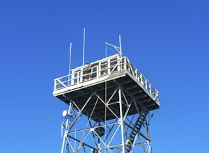
Spend a few nights under the stars in a unique piece of outdoor history. The Oak Flat Lookout, constructed in 1934, was once staffed by rangers providing critical wild life management services on watch for wildfires in the surrounding Sequoia National Forest through the 1980s. The Oak Flat lookout is one of the only fire lookout towers remaining from a network of towers that once spanned nearly...
Old Kern Canyon Road to Lake Isabella Blvd.
Bakersfield, California
13.33 mi
/ 1558 ft gain
Old Kern Canyon Road to Lake Isabella Blvd. is a point-to-point trail that takes you past scenic surroundings located near Wofford Heights, California.
Hike the Mill Creek Trail to Breckenridge Road
Bakersfield, California
7.5 mi
/ 3000 ft gain
Starting at about 2000 elevation this hike is very gentle and nice for the first 2 miles. On the third mile it is a steep climb with short lengths of level ground the rest of the way. The junction at Breckenridge Road is at about 5500 elevation. If you hit the trail in the winter, there are some beautiful views, but they come at a cost - the trail is full of snow and mud which makes it very sli...
Kern Canyon Trail
Bakersfield, California
9.76 mi
/ 3320 ft gain
Kern Canyon Trail is an out-and-back trail where you may see beautiful wildflowers located near Caliente, California.
Places to stay
Kern Canyon Road
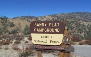
Sandy Flat
Overview
Sandy Flat Campground is set back from the Lower Kern River at an altitude of 2,300 feet near the town of Lake Isabella. Campsit...
Lake Isabella, California
Pioneer Point
Overview
Reservations not being accepted. Pioneer Point is a high-desert campground near Lake Isabella in the Sequoia National Forest. Th...
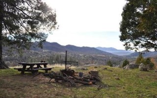
Posey, California
Poso Guard Station Cabin
Overview
The Poso Guard Station Cabin is situated on a mountain top in the Giant Sequoia National Monument in the Sequoia National Forest...
Lake Isabella, California
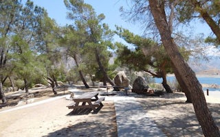
French Gulch
Overview
French Gulch Campground sits 3 miles from the western shores of Lake Isabella, a 27-acre reservoir off the Kern River, in the ex...
Lake Isabella, California
Boulder Gulch
Overview
Boulder Gulch Campground is nestled in the foothills of the high desert at an elevation of 2,650 feet, just a short drive from L...
Lake Isabella, California
Hungry Gulch
Overview
Hungry Gulch Campground sits 3 miles from Lake Isabella in the Sequoia National Forest of California. Visitors enjoy swimming, w...
Quick links
- The best hiking trails in Bakersfield
- The best backpacking in Bakersfield
- The best camping in Bakersfield
- Top adventures in Bakersfield
Community
© 2023 The Outbound Collective - Terms of Use - Privacy Policy


