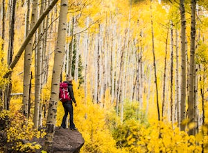
Crested Butte
Top Spots
Kebler Pass Road
Crested Butte, Colorado
31.18 mi
/ 1729 ft gain
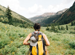
Kebler Pass Road is a loop trail where you may see beautiful wildflowers located near Somerset, Colorado.
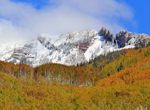
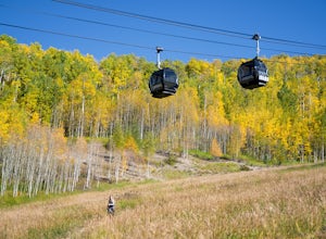
Drive Kebler Pass for Fall Colors
Crested Butte, Colorado
5.0
Kebler Pass, or Gunnison County Road (GCR) 12, is an excellent place to see fall colors in Colorado. You won't get nearly as much congestion as on Independence Pass in Aspen, but you get just as many yellow and amber leaves. The road is dirt but passable by any vehicle–although because it's at over 10,000 feet–it's closed in winter and can get extremely muddy if it snows or rains. The mud is sl...
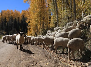
Photograph Sheep along Kebbler Pass
Crested Butte, Colorado
5.0
Fall time in Colorado is incredibly scenic, and if you drive up to Crested Butte, you may find herds of sheep being led down the mountains. Drive along Kebbler Pass in September and October, and look for these huge herds of sheep. Though it can be difficult to track them down, they make for amazing photos and a very rad experience! Border collies can be seen herding them across roads and slowly...
Woods Walk
Crested Butte, Colorado
2.84 mi
/ 187 ft gain
Woods Walk is an out-and-back trail that takes you by a lake located near Crested Butte, Colorado.
Lupine, Gunsight Connection and Lower Loop Trail
Crested Butte, Colorado
12.86 mi
/ 1453 ft gain
Lupine, Gunsight Connection and Lower Loop Trail is a loop trail that takes you by a lake located near Crested Butte, Colorado.
Snodgrass, Lupine, and Lower Loop
Crested Butte, Colorado
21.03 mi
/ 2041 ft gain
Snodgrass, Lupine, and Lower Loop is a loop trail that takes you past scenic surroundings located near Crested Butte, Colorado.
Baxter Gulch Trail
Crested Butte, Colorado
10.32 mi
/ 2539 ft gain
Baxter Gulch Trail is an out-and-back trail where you may see beautiful wildflowers located near Crested Butte, Colorado.
Upper Lower to Budd Trail Loop
Crested Butte, Colorado
2.25 mi
/ 256 ft gain
Upper Lower to Budd Trail Loop is a loop trail where you may see beautiful wildflowers located near Crested Butte, Colorado.
Crested Butte Upper and Lower Loop
Crested Butte, Colorado
4.49 mi
/ 266 ft gain
Crested Butte Upper and Lower Loop is a loop trail that takes you past scenic surroundings located near Crested Butte, Colorado.
Places to stay
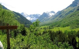
Maroon Creek Road
East Maroon Portal Picnic Site
Overview
East Maroon Portal Picnic Site is situated next to Maroon Creek, offering spectacular views of towering red stone cliffs, lush w...
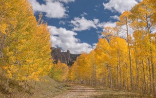
Gunnison County, Colorado
Lodgepole (Taylor River)
Overview
Lodgepole Campground is located 22 miles from Gunnison, COLORADO in the Taylor River Canyon. Visitors enjoy the area for its raf...
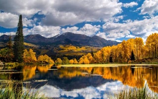
Gunnison County, Colorado
Lottis Creek Campground
Overview
Located in the Grand Mesa Uncompahgre and Gunnison National Forests, Lottis Creek Campground is at an elevation of 8,600 feet ab...
Carbondale, Colorado
Bogan Flats Campground Grp S
Overview
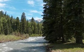
Bogan Flats Campground stretches along the Crystal River in a valley of aspen groves, towering Ponderosa Pine, spruce, and willo...
Gunnison County, Colorado
Lakeview Gunnison
Overview
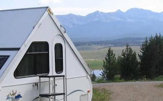
Lakeview Campground is located on Taylor Park Reservoir, at an elevation of 9,400 feet. Visitors enjoy the area for its fishing ...
Guides and stories
Quick links
- The best hiking trails in Crested Butte
- The best backpacking in Crested Butte
- The best camping in Crested Butte
- Top adventures in Crested Butte
Community
© 2023 The Outbound Collective - Terms of Use - Privacy Policy


