Payson
Top Spots
Cracker Jack Mine OHV Trail
Payson, Arizona
12.23 mi
/ 1696 ft gain
Cracker Jack Mine OHV Trail is a point-to-point trail that takes you by a river located near Payson, Arizona.
Cypress Thicket Scenic Drive
Payson, Arizona
10.65 mi
/ 1512 ft gain
Cypress Thicket Scenic Drive is a point-to-point trail located near Payson, Arizona.
Water Wheel & Ellison Creek Cascades
Payson, Arizona
4.9
1.76 mi
/ 272 ft gain
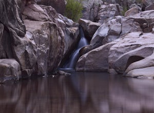
A short and easy out and back hike for adventurers of all ages with scenic waterfalls along the entire trip!
Starting at the Water Wheel day use area you will simply follow the well traveled path that meanders alongside the creek. You will reach the first significant waterfall within minutes which is also a great swimming hole and cliff jumping area! But wait, there is more! Proceed upstream t...
Ellison Creek Cascades
Payson, Arizona
1.5 mi
/ 217 ft gain
Ellison Creek Cascades is an out-and-back trail that takes you by a waterfall located near Payson, Arizona.
Hike the Pine Creek Loop in Tonto Natural Bridge SP
Pine, Arizona
4.7
1.8 mi
/ 300 ft gain
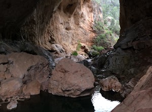
There is a fee to enter this area. It was $7 when we went. There are 4 trails with many viewpoints from the parking lot, all of which are out and back. We followed the recommendation of the ranger working at the visitor's center and took the Gowan Trail down to the observation deck located in the creek bottom. This park can be very crowded on weekends and holidays. We went on a day that was a l...
Hike Barnhardt Trail
Payson, Arizona
4.8
8 mi
/ 1912 ft gain
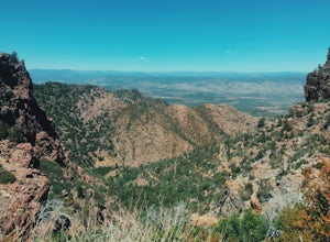
To get to the trailhead, use the turnoff of highway 87 labeled Barnhardt trail (has a marked sign coming from both Payson and Phoenix). Barnhardt road is just over 4 miles and is unpaved. The road can be driven on by lower clearance cars because the terrain is not too rocky. Once at the trailhead the trail is very easy to follow. Right from the beginning you will gain elevation, the trail has m...
Oak Spring Trail
Pine, Arizona
7.41 mi
/ 1168 ft gain
Oak Spring Trail is an out-and-back trail where you may see wildflowers located near Pine, Arizona.
Highline and Pine Trail Loop
Pine, Arizona
1.56 mi
/ 331 ft gain
Highline and Pine Trail Loop is a loop trail where you may see wildflowers located near Pine, Arizona.
Stroll Pine Creek's Lavender Farm
Pine, Arizona
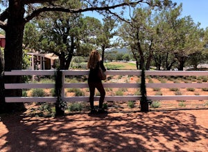
The building was built in the early 1900’s by the first settlers of Pine, the farm was turned into a lavender farm. There’s a little shop, and the owner also does cooking classes! Wonderful way to spend some time in the northern Arizona sunshine.
For more information and a calendar of events, please visit their website.
4223 Pine Creek Canyon Road
Pine, Arizona 85544
Phone: (619) 772...
Places to stay
Payson, Arizona
Sharp Creek
Overview
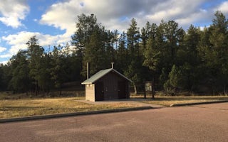
Sharp Creek is a small campground located in an area of central Arizona known for its pleasant temperatures, spectacular scenery...
Payson, Arizona
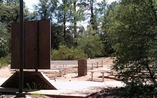
Christopher Creek
Overview
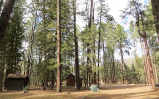
With an elevation over a mile-high(5640 ft), Christopher Creek Campground's crisp, fresh air and vibrant views are a joy to beho...
Payson, Arizona
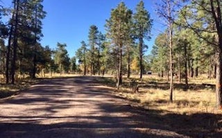
Houston Mesa
Overview
Houston Mesa Campground is located in the forested northern section of Tonto National Forest, just one mile north of Payson, Ari...
Payson, Arizona
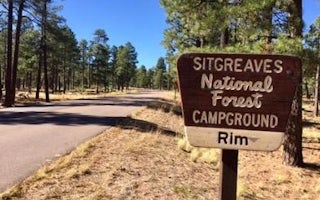
Mogollon Campground
Overview
Mogollon Campground, although not directly in the Woods Canyon Recreation area, sits just outside and is only two miles from the...
Payson, Arizona
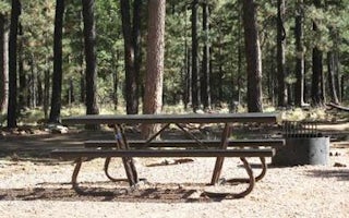
Rim Campground
Overview
Rim Campground is situated close to the edge of the Mogollon Rim. Spectacular 100-mile views are seen from many vantage points a...
Payson, Arizona
Woods Canyon Lake
Overview
Woods Canyon Lake Group Area is located in north central Arizona near the town of Heber. The camp is adjacent to popular Woods C...
Guides and stories
Quick links
- The best hiking trails in Payson
- The best backpacking in Payson
- The best camping in Payson
- Top adventures in Payson
Community
© 2023 The Outbound Collective - Terms of Use - Privacy Policy


