Queen Creek
Top Spots
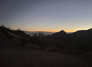
Gold Mine Trail
Queen Creek, Arizona
4.82 mi
/ 955 ft gain
Gold Mine Trail is an out-and-back trail that provides a good opportunity to view wildlife located near San Tan Valley, Arizona.
Dynamite and Goldmine Trail Loop
Queen Creek, Arizona
4.75 mi
/ 948 ft gain
Dynamite and Goldmine Trail Loop is a loop trail where you may see wildflowers located near Chandler Heights, Arizona.
Hike the Dynamite and Goldmine Loop
Queen Creek, Arizona
4.7 mi
/ 773 ft gain
This trail is a moderately-rated hike. It is used for a variety of activities including hiking, mountain biking, running, and walking. To access the trail, it is important to note that there is a $7 cash parking fee, so be prepared!
The beginning of the trail is the most challenging part as it starts with a steep climb. You will, however, certainly be rewarded with stunning views of the natur...
San Tan, Moonlight, Goldmine Loop
Queen Creek, Arizona
4.22 mi
/ 335 ft gain
San Tan, Moonlight, Goldmine Loop is a loop trail where you may see beautiful wildflowers located near Queen Creek, Arizona.
Goldmine Mountain Peak Trail
Queen Creek, Arizona
3.47 mi
/ 686 ft gain
Goldmine Mountain Peak Trail is an out-and-back trail where you may see local wildlife located near Chandler Heights, Arizona.
Goldmine Trail to San Tan to Moonlight Trail Loop
Queen Creek, Arizona
3.72 mi
/ 315 ft gain
Goldmine Trail to San Tan to Moonlight Trail Loop is a loop trail where you may see wildflowers located near Queen Creek, Arizona.
San Tan Loop Trail
Queen Creek, Arizona
7.36 mi
/ 643 ft gain
San Tan Loop Trail is a loop trail where you may see wildflowers located near Queen Creek, Arizona.
Goldmine and San Tan Loop
Queen Creek, Arizona
3.22 mi
/ 203 ft gain
Goldmine and San Tan Loop is a loop trail where you may see wildflowers located near Queen Creek, Arizona.
Goldmine and Littleleaf Trail
Queen Creek, Arizona
1.42 mi
/ 89 ft gain
Goldmine and Littleleaf Trail is a loop trail where you may see wildflowers located near Chandler Heights, Arizona.
Places to stay
Roosevelt, Arizona
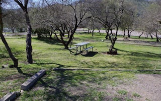
Burnt Corral Campground
Overview
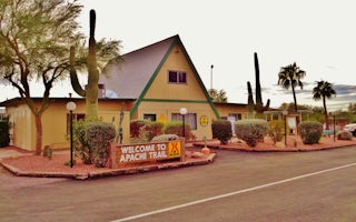
Burnt Corral Campground and Recreation Area (elevation 1914') is about 5.8 miles south of Roosevelt Dam along the Apache Trail (...
Roosevelt, Arizona
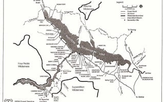
Frazier Group Campground
Overview
The campground overlooks Roosevelt Lake and is nestled in the saguaro cactus-studded Sonoran Desert.Recreation
In addition to ca...
Tonto Basin, Arizona
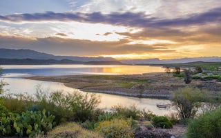
Cholla Campground
Overview
Cholla Campground at Roosevelt Lake, is one of several campgrounds on the shores of the largest lake/reservoir located entirely ...
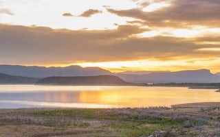
Roosevelt, Arizona
Windy Hill Campground
Overview
Located on central Arizona's largest lake, Windy Hill offers great water recreation opportunities to the public. Because of its...
Guides and stories
Quick links
- The best hiking trails in Queen Creek
- The best backpacking in Queen Creek
- The best camping in Queen Creek
- Top adventures in Queen Creek
Community
© 2023 The Outbound Collective - Terms of Use - Privacy Policy


