Bryce
Top Spots
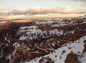
Bryce Canyon Scenic Drive
Bryce, Utah
4.4
20.8 mi
/ 2516 ft gain
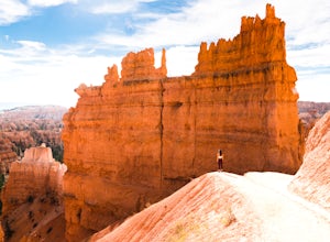
Inspiration Point: All who look out from this point are bound to be inspired. The intricacies of the hoodoos and their formation through the erosion of the Claron Formation is simply beautiful. You get the most spectacular perspective of the main amphitheater in Bryce Canyon here.
Swamp Canyon: Swamp Canyon appears relatively small and sheltered from the overlook, bounded on both sides by fins...
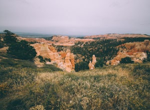
Hike the Fairyland Loop Trail at Bryce Canyon NP
Bryce, Utah
4.7
7.8 mi
/ 1545 ft gain
Let's face it: Bryce Canyon National Park is stunning. Its remarkable and unique hoodoos bring people from all over the world, and lots of them. If you're looking to enjoy this incredible park with a little more solitude than the main lookouts or the more popular Under the Rim trail, make sure to spend a day hiking the Fairyland Loop trail. Many visitors drive past this area in the northern par...
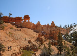
Mossy Cave Turret Arch and Little Windows Trail
Tropic, Utah
5.0
1.06 mi
/ 341 ft gain
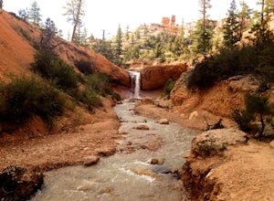
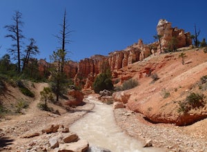
Mossy Cave Turret Arch and Little Windows Trail is an out-and-back trail that takes you by a waterfall located near Tropic, Utah.
Hike Mossy Cave in Bryce Canyon
Tropic, Utah
3.3
1 mi
This short hike cannot be reached from the main area of Bryce Canyon, but with a 15 minute drive from the main entrance you can access this less crowded portion of the park. Check out a park map for the directions. This is very family-friendly, and is actually more of a "walk" than a "hike."It is just over 1 mile out-and-back to a cave (rocky overhang) that drips water continuously throughout t...
Hike the Tropic Ditch Trail
Tropic, Utah
5.0
2 mi
From the Mossy Cave trailhead, follow the wide easy trail along the Tropic Ditch stream for .35 miles. At that point, the trail splits. To the left is Mossy Cave and to the right is Water Canyon Falls. The trail is lined with beautiful colored cliffs and hoodoos that Bryce Canyon is famous for. The trail is about 1 mile round trip, but further exploration is possible up Water Canyon along the T...
Tower Bridge via Fairyland Loop
Bryce Canyon City, Utah
4.0
3.56 mi
/ 935 ft gain
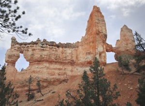
Getting there is half the fun on this hike below the canyon rim. While there are fewer hoodoos in this area of the park, the scenery is still incredible and the crowds are much lighter. Starting at Sunrise Point, the trail boasts big views immediately. During the first mile you can look out at China Wall, Sinking Ship, and endless panoramic views of the park and beyond. The trail descends t...
Queen Victoria via Queen's Garden Loop
Bryce, Utah
2.09 mi
/ 384 ft gain
Queen Victoria via Queen's Garden Loop Trail is an out-and-back trail where you may see beautiful wildflowers located near Bryce, Utah.
Wall Street Loop in Bryce Canyon
Bryce, Utah
4.7
3.25 mi
/ 610 ft gain
Hoodoos? What's that you say?
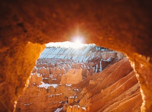
Hoodoos are these amazing rock formations that Bryce Canyon is famous for. This hike is hands down the best way to see the hoodoos of Bryce Canyon. This hike allows for stunning lookout points from the rim and the experience of hiking through the hoodoos of the canyon.
We did the hike in fall just before a some snowfall, which in my opinion made the hike even mor...
East Fork of the Sevier River Scenic Backway (FR 087)
Bryce, Utah
34.79 mi
/ 866 ft gain
East Fork of the Sevier River Scenic Backway (FR 087) is an out-and-back trail that takes you by a lake located near Bryce, Utah.
Places to stay
Bryce, Utah
North Campground
Overview
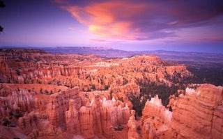
North Campground is located in the beautiful and unique Bryce Canyon National Park. Known for its colorful rock spires and grand...
Bryce, Utah
Sunset Campground
Overview
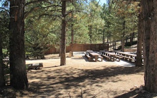
Sunset Campground is located in beautiful and unique Bryce Canyon National Park. Known for its colorful rock spires and grand vi...
Hatch, Utah
Kings Creek
Overview
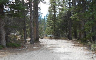
Kings Creek Campground is located on the west side of Tropic Reservoir, high on the Colorado Plateau at an elevation of 8,000 fe...
Antimony, Utah
Pine Lake Campground
Overview
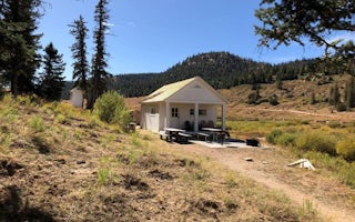
Pine Lake Campground is located next to its scenic namesake lake high on the Colorado Plateau at an elevation of 8,100 feet. Vis...
Kanab, Utah
Podunk Guard Station
Overview
Podunk Guard Station is located next to the East Fork Sevier River, in the Dixie National Forest in southern Utah. The cabin was...
Garfield County, Utah
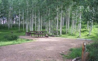
Barker Recreation Area
Overview
Barker Recreation Area is located high on the Colorado Plateau at an elevation of 9,300 feet. Visitors enjoy canoeing, fishing a...
Guides and stories
Quick links
- The best hiking trails in Bryce
- The best backpacking in Bryce
- The best camping in Bryce
- Top adventures in Bryce
Community
© 2023 The Outbound Collective - Terms of Use - Privacy Policy

