Kansas City
Top Spots
Photograph the Kansas City Skyline via Kaw Point Park
Kansas City, Kansas
4.3
Located behind Kaw Point industrial Park is Kaw Point park. This park is located right where the Kansas and Missouri Rivers meet. It has historical significance too, the Lewis and Clark expedition actually camped at this spot for a couple of nights to rest, repair their boats, and to explore around the area.
There are a couple paved trails in the very small park. To get to the best lookout, he...
Macken Park
North Kansas City, Missouri
1.02 mi
/ 56 ft gain
Macken Park is a loop trail that is good for all skill levels located near Kansas City, Missouri.
Missouri Riverfront Trail
Riverside, Missouri
6.86 mi
/ 318 ft gain
Missouri Riverfront Trail is an out-and-back trail that takes you by a river located near Riverside, Missouri.
Platte Landing and English Landing Park Loop
Kansas City, Missouri
4.56 mi
/ 121 ft gain
Platte Landing and English Landing Park Loop is a loop trail that takes you by a river located near Kansas City, Missouri.
Loose Park Pond Loop
Kansas City, Missouri
0.48 mi
/ 36 ft gain
Loose Park Pond Loop is a loop trail that takes you by a lake located near Kansas City, Missouri.
Hike Parkville Nature Sanctuary
Parkville, Missouri
5.0
3 mi
Located just outside of Kansas City, MO, the Parkville Nature sanctuary is a great little place for hiking, photography, or just an escape from the city. The Nature Sanctuary is located directly behind the Platte County Health Department (1201 East St, Parkville, MO 64152). There is a parking lot located directly behind the Health Department building; park in the lot and you will spot the trail...
Old Kate Trail
Parkville, Missouri
0.79 mi
/ 72 ft gain
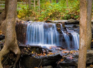
Old Kate Trail is a loop trail that takes you by a waterfall located near Kansas City, Missouri.
Hike to and Photograph the Waterfall at Line Creek
Kansas City, Missouri
4.0
0.5 mi
/ 0 ft gain
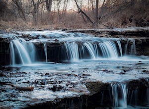
Head out to Line Creek Trail in Kansas City, MO where you'll find a photogenic waterfall. The trail stretches 8.25 miles currently with plans for extension. The closest trailhead to the waterfall is located near the Line Creek Community Center and Ice Arena (5940 NW Waukomis Dr, Kansas City, MO 64151).
From this trailhead, head south on the trail for approximately 0.5 miles; you will notice th...
Hidden Valley Natural Area Loop
Kansas City, Missouri
3.02 mi
/ 384 ft gain
Hidden Valley Natural Area Loop is a 3.2 kilometer moderately trafficked loop trail located near Kansas City, Missouri.
Places to stay
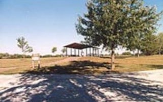
Lawrence, Kansas
Overlook Park
Overview
This day-use picnic area, located just north of Clinton Lake in the hills of Kansas, is the perfect spot for a party or family g...
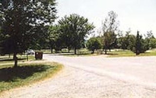
Lawrence, Kansas
Bloomington East
Overview
Bloomington East Park includes Cedar Ridge, Hickory/Walnut, and Oak Campgrounds, Ash and Elm Group Camps, and Bloomington Beach ...
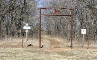
Lawrence, Kansas
Rockhaven Park Equestrian Campground
Overview
Rockhaven Park is located on the south side of Clinton Lake, west of the Dam on the Rock Creek Arm of the lake. Rockhaven Park i...
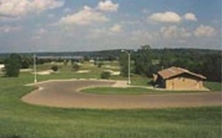
Perry, Kansas
Slough Creek
Overview
DUE TO FLOODING, ALL OF SLOUGH CREEK PARK IS CURRENTLY CLOSED. THERE ARE NO CORPS OPERATED CAMPGROUNDS ASIDE FROM LONGVIEW GROUP...
Quick links
- The best hiking trails in Kansas City
- The best backpacking in Kansas City
- The best camping in Kansas City
- Top adventures in Kansas City
Community
© 2023 The Outbound Collective - Terms of Use - Privacy Policy

