Kingston
Top Spots
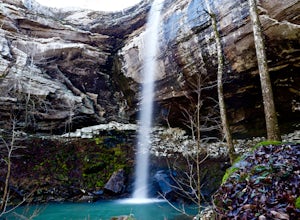
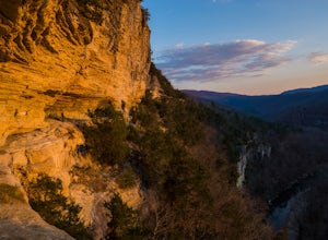
Hike to Sweden Creek Falls
Kingston, Arkansas
4.0
1.5 mi
Proceed to Sweden Creek Falls Natural Area near Kingston, Arkansas. Find somewhere to park near the gate along the dirt road. The trailhead is located beside the gate. Follow the old jeep path and continue past the old abandoned house on the right. Once the path ends, look for the blue trail marker on the trees and follow it through a split in the bluff line. Once you crawl down this area, i...
Sweden Creek Falls
Kingston, Arkansas
1.56 mi
/ 279 ft gain
Sweden Creek Falls is an out-and-back trail that takes you by a waterfall located near Kingston, Arkansas.
Boxley Valley Scenic Drive
Kingston, Arkansas
5.0
4.3 mi
/ 131 ft gain
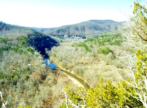
Boxley Valley Scenic Drive is a point-to-point trail that takes you by a river located near Ponca, Arkansas.
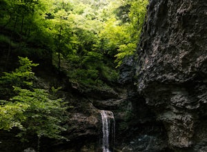
Eden Falls via Lost Valley Trail
Kingston, Arkansas
4.9
2.32 mi
/ 453 ft gain
This is a beautiful trail that is easily accessible and only a short 3 mile hike.
Start at the trailhead on the north end of the parking area. There is a map and some details about the main features of the trail.
The first main feature that you come to on the trail is a beautiful bluff with a cascading waterfall that has carved through it. If you don't mind getting your shoes wet, then you ...
Centerpoint to Goat Trail
Compton, Arkansas
5.82 mi
/ 1001 ft gain
Centerpoint to Goat Trail is an out-and-back trail that takes you by a river located near Ponca, Arkansas.
Backpacking Along the Buffalo River
Compton, Arkansas
5.0
12 mi
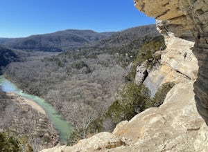
Park at the Centerpoint Trailhead and follow the Centerpoint trail as it heads about 3 miles downhill towards Big Bluff. You’ll know you’ve reached the trail junction for Big Bluff when you come to a clearing that has a large firepit in the middle and a small unmaintained trail heading off to the right. Take this trail and follow it along Big Bluff.Stay on the trail as it follows the edge of th...
Camp on Big Bluff
Compton, Arkansas
4.9
6 mi
This adventure begins at the Counterpoint Trailhead just north of Ponca, AR. Follow the trail downhill for about 2.7 miles until you reach a split in the trail. Take the trail off to the right and follow it for another .5 miles until you reach the Big Bluff area. There is a lot of area to explore along the edge of the bluff with several natural shelter areas. This area deserves your respect...
Hike to Scenic Big Bluff
Compton, Arkansas
5.0
6 mi
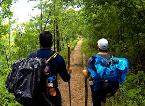
The hike starts at the Centerpoint Trailhead and follows a clearly defined trail for 3 miles (approximately one hour) with mostly downhill or flat terrain and views through the trees of the rolling Ozark landscape. When you are almost to Big Bluff, the trail opens up into a large round area with a fire pit in the middle. At this point the trail splits into two paths. Take the trail to the right...
Villines Homestead Trail
Jasper, Arkansas
0.5 mi
/ 138 ft gain
Villines Homestead Trail is an out-and-back trail that takes you by a river located near Ponca, Arkansas.
Places to stay

Springdale, Arkansas
War Eagle Campground
Overview
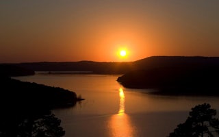
War Eagle Campground sits along the vast shores of Beaver Lake in the Ozark Mountains of Northwest Arkansas, offering spacious a...
Rogers, Arkansas
Rocky Branch Campground
Overview
Rocky Branch Campground sits along the vast shores of Beaver Lake in the Ozark Mountains of Northwest Arkansas, offering spaciou...

Eureka Springs, Arkansas
Starkey Campground
Overview
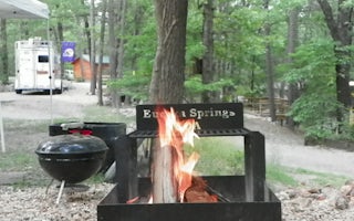
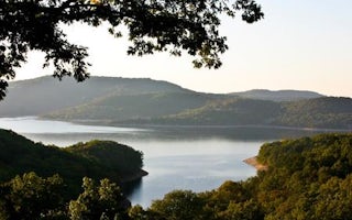
Starkey Campground sits along the vast shores of Beaver Lake in the Ozark Mountains of Northwest Arkansas, offering spacious and...
Eureka Springs, Arkansas
Dam Site River (Beaver Lake)
Overview
Dam Site River Campground sits on the shores of the White River, just below Beaver Dam and Lake in the Ozark Mountains. The camp...
Guides and stories
Quick links
- The best hiking trails in Kingston
- The best backpacking in Kingston
- The best camping in Kingston
- Top adventures in Kingston
Community
© 2023 The Outbound Collective - Terms of Use - Privacy Policy

