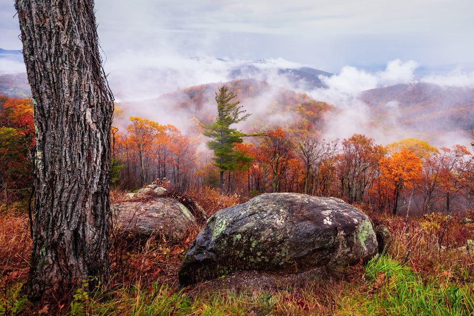
Making the Most of the Fall Colors
Tips for how to make the most of this years fall colors.

Fall is by far my favorite season of the year. I love taking advantage of the cooler weather by hiking and camping, but my favorite thing about fall is the colors. As a landscape photographer, I love the colors of the changing leaves and how they can transform the landscape. But these beautiful colors usually only last for a short amount of time before the leaves fall. Because of this short window, I do some research beforehand to make sure I am in the right location at the right time to take full advantage of the colors peaking.
Where to Go:
A landscape may look ok when everything is green but will become outstanding once it turns into a sea of color. I try to visit the location in person because it will allow me to visualize different compositions so that I have a game plan once the colors arrive. If a location is too far away to visit in person, Google Earth and Google Maps are two resources I use to help me find the locations to visit once the colors peak.
When to Go:
Once I decided where I want to go, the next thing I need to determine is when to go to each location on my list to take advantage of the fall colors. Trying to predict when the location will peak can be difficult because a bunch of different factors will determine when the leaves will start to change. When trying to determine the likely dates for peak foliage, I typically look at historic data of when the leaves has peaked in the past as well as forecasted temperatures for the area. But this year, I'm excited to try out a new prediction map I’ve come across by SmokeyMountains. This map takes into account not only when an area historically peaks and the forecasted temperatures but the area’s historic temperature, historic precipitation, forecasted precipitation, historic leaf peak trends and peak observation trends. It puts all of that data into an algorithm to generate its prediction map, and the best thing is the map is free. Based on the research I usually do, their map looks pretty accurate, which I’m excited about because it will save me a lot of time reaching in future years.
Networking:
Now that I know where and when to go, the next thing I do is keep an eye on the weather and on social media. I have a network of photographer friends that live across the country that let me know then their area is about to peak. Even with all of this research I put into predicting peak foliage color, nature loves to throw curve balls, so nothing is ever guaranteed. Being flexible and having friends that let me know if their local area is going to peak early, on time, or late really makes a huge difference. A good example is New York last year peak as scheduled but the Smokey Mountains peaked about a week later than predicted and Shenandoah National Park peaked about three weeks late. Having a great network of friend helped me stay up to date of the conditions in their areas, which helped me take full advantage of the fall colors. If you would like to learn some tips on how to take better fall landscape pictures, click here.
We want to acknowledge and thank the past, present, and future generations of all Native Nations and Indigenous Peoples whose ancestral lands we travel, explore, and play on. Always practice Leave No Trace ethics on your adventures and follow local regulations. Please explore responsibly!
Do you love the outdoors?
Yep, us too. That's why we send you the best local adventures, stories, and expert advice, right to your inbox.


