Oglesby
Top Spots
Dells Area to Vermillion River Area Loop
Oglesby, Illinois
6.03 mi
/ 699 ft gain
Dells Area to Vermillion River Area Loop is a 6.4 miles out-and-back trail that takes you by a waterfall located near Oglesby, Illinois.
Hike the Dells Canyon and Bluff Trail
Oglesby, Illinois
2.2 mi
/ 380 ft gain
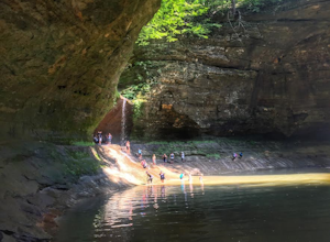
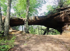
The trail is commonly used for hiking, nature trips, and birding. Matthiessen State Park features unique vegetation, rock formations, and waterfall arrangements.
Hike the Matthiessen State Park Loop
Oglesby, Illinois
4.8
5.8 mi
With 5 miles of trails, which alternate between cliffs, canyons, and bluffs, Matthiessen State Park has plenty to offer. This particular trail also includes three waterfalls, along the way.
From the Dells Area parking lot, head down the steps next to the log fort replica. At the 4-way junction turn right, where the trail follows along the Upper Dell. At the T-junction with Bluff Trail, turn lef...
Hike the Lower Dells at Matthiessen State Park
Oglesby, Illinois
4.8
3.5 mi
/ 250 ft gain
Starting off right from the parking lot at Matthiessen State Park, follow the trail markers through the forest, across beautiful bridges, and find your way to one of the many stunning waterfalls. Depending on when you go, the water level will vary greatly. During the summer months the water level is fairly low so getting across river crossings is fairly easy, during the spring/fall months howev...
Hike the Upper Dells of Matthiessen State Park
Oglesby, Illinois
4.3
2.2 mi
/ 627 ft gain
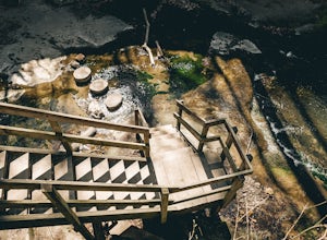
From the start of the parking lot you will cross a picnic area to your left where you can have a bite to eat before or after your hike. The trailhead starts off with a couple flights of stair leading you down to the bridge. After taking in the spectacular views at the top of the waterfall you will cross the bridge and turn right to go down, taking the stairs to the upper dells. Depending on whe...
Hike the Red River Trail
Oglesby, Illinois
2.3 mi
/ 285 ft gain
The Red River Trail is open for use year round. The trail winds through beautiful canyons, streams, prairies, and forests in Matthiessen State Park.
Hike, Run, or Bike the I&M Canal Trail
LaSalle, Illinois
4.0
9.7 mi
/ 409 ft gain
Park off of Joliet St. (see map) to access the trail. This trail is paved, shared by runners, hikers, and bikers, and is accessible from April to October.
I&M Canal
LaSalle, Illinois
14.79 mi
/ 157 ft gain
I&M Canal is a point-to-point trail that takes you by a river located near LaSalle, Illinois.
Saint Louis Canyon Trail
Oglesby, Illinois
2.08 mi
/ 312 ft gain
Saint Louis Canyon Trail is a 2.1 miles out-and-back trail that takes you by a waterfall located near Utica, Illinois.
Quick links
- The best hiking trails in Oglesby
- The best backpacking in Oglesby
- The best camping in Oglesby
- Top adventures in Oglesby


