Turner Valley
Top Spots
Hike Junction Creek to Junction Falls
Turner Valley, Alberta
4.0
9.2 mi
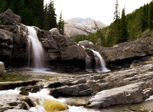
Junction creek is a tributary that flows into the larger Sheep River near Eden, Alberta with many cool and uncrowded waterfalls.
Once you start at the trailhead there is a river crossing of the Sheep River. This can deter a lot of people as the water can be fast and quite cold. When we went it was about 3ft high and flowing fairly fast.
The trail starts on the other side of Sheep River on the...
Hike to Bragg Creek Ice Cave
Bragg Creek, Alberta
4.0
4.3 mi
/ 5879.3 ft gain
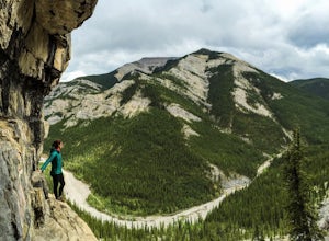
Also known as Moose Mountain Ice Cave, Canyon Creek Ice Cave and Ing Mine.The cave is located on the west side of Moose Ridge andhas a huge entrance, it is approximately1,600 ft. in depth. Take Highway 22 past Bragg Creek, continue on the 66 towards Moose Mountain. Turn off at Canyon Creek Road and drive about 300m to the gates. Park at the Canyon Creek parking area a short distance past the ...
Prairie Mountain and Elbow Falls
Bragg Creek, Alberta
4.4
22 km west of Bragg Creek, turn off Highway 66 at the Elbow Falls Parking Lot. Park on the North side of the road on the shoulder at the winter closure gates. The trail is well-defined and heads straight up (North) from the highway.The trail begins with some steep switchbacks, but then levels out about 500 metres in. It is still a decent amount of elevation in a short distance, so don't expect ...
Hike Iyarhe Ipan
Bragg Creek, Alberta
3.0
2.5 mi
/ 1476.4 ft gain
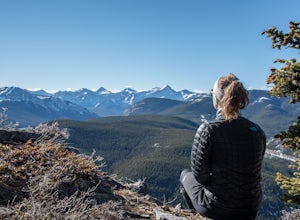
Iyarhe Ipan means "mountain point" in Stoney, and while it's far from the highest peak you'll ever climb, it certainly is worth it. Iyarhe Ipan was the fix for the scrambling itch I've had all winter.Before Highway 66 opens in the summer, you'll have to park your car at Elbow Falls parking lot and start hiking from there. You won't have far to go before you meet the first - and only - major obs...
Winter Hike Up Vent's Ridge
Bragg Creek, Alberta
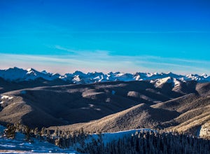
Whether it was the unseasonably warm weather; the forested, uneven, foot-wide, root-covered trail; limestone cliffs towering above me; the view of Myosotis Peak from the ridge; or exploring along Powderface Creek on the descent, this trail was an absolute blast.If you do this hike in February like I did, Hwy 66 past Elbow Falls Parking Lot will be closed (from December to May every year) so par...
Rock Climb at White Buddha
Bragg Creek, Alberta
4.0
1.9 mi
/ 492.1 ft gain
To reach White Buddha, park at the Powerface Creek parking lot. Between December and May, Route 66 is closed at Elbow Falls, so you may need to park at the gate and walk in, about 0.3 miles (500 m). The trailhead is well marked from the parking lot.The first section of the trail is mellow, though often still covered in slow late into the season. After 0.7 miles (1.2 km), look for a trail going ...
Hike White Buddha via Powderface Trail
Bragg Creek, Alberta
3.0
2.5 mi
/ 1148.3 ft gain
Follow Hwy. 66 until you come upon the Powderface Staging Area. This is the trailhead. If you are coming between December & May, park at the Elbow Falls Day use area and walk along the road approximately 100 meters. This trail is easy to find and is quite wide. Follow the Powderface Creek Trail for a while until you reach a bridge. After the bridge, continue for about 400 metres. You will s...
Backpack to Pickle Jar Lakes
Longview, Alberta
4.0
5 mi
/ 1328.7 ft gain
Park in the Lantern Creek Recreation Area across the street from the trailhead. Highway #40 is closed at the Upper Lakes and Highwood House Junction from Dec 1st to June 14th for wildlife preservation, so you will have to plan your trip here accordingly.
Once you cross the street you will see the well marked trailhead next to Lantern creek for Pickle Jar Lakes. The trail starts off slowly ascen...
Hike Nihahi Ridge
Bragg Creek, Alberta
4.5
8.1 mi
/ 2624.7 ft gain
This year on the summer solstice, I was invited to go up Nihahi Ridge to celebrate. It's in one of my personal most underrated areas of the Rockies just west of Bragg Creek, and it's a popular objective, but less so during the evening. The trail begins once you park your car at the Little Elbow parking lot. Follow the campground road for around 1.5 km and you'll come across the fork to continue...
Guides and stories
Quick links
- The best hiking trails in Turner Valley
- The best backpacking in Turner Valley
- The best camping in Turner Valley
- Top adventures in Turner Valley

