Auburn
Top Spots
Western States Pioneer Express Recreation Trail
Auburn, California
8.71 mi
/ 1519 ft gain
Western States Pioneer Express Recreation Trail is an out-and-back trail that takes you by a waterfall located near Auburn, California.
Contour Trail Loop
Auburn, California
2.52 mi
/ 614 ft gain
Contour Trail Loop is a loop trail that takes you past scenic surroundings located near Auburn, California.
Western States, Robie Point, Cardiac Hill and Shirland Canal Loop
Auburn, California
10.03 mi
/ 1716 ft gain
Western States, Robie Point, Cardiac Hill and Shirland Canal Loop is a loop trail that takes you by a river located near Auburn, California.
Robie Point Firebreak Trail
Auburn, California
5.5 mi
/ 498 ft gain
Robie Point Firebreak Trail is an out and back trail that takes you by a waterfall located near Auburn, California
Robbie Point Firebreak and Riverview Trail Loop
Auburn, California
4.3 mi
/ 524 ft gain
Robbie Point Firebreak and Riverview Trail Loop Is a loop trail that takes you past scenic views located near Auburn, California
Robbie Point Trail
Auburn, California
2.6 mi
/ 308 ft gain
Robbie Point Trail is a loop trail that takes you past great forest setting located near Auburn, California
Western States Trail to Manzanita Trail Loop
Auburn, California
4.38 mi
/ 771 ft gain
Western States Trail to Manzanita Trail Loop is a loop trail that takes you by a waterfall located near Auburn, California.
Shirland Canal and Cardiac Bypass Loop
Auburn, California
3.49 mi
/ 984 ft gain
Shirland Canal and Cardiac Bypass Loop is a loop trail that takes you by a river located near Auburn, California.
Shirland Canal Loop
Auburn, California
3.01 mi
/ 860 ft gain
Shirland Canal Loop is a loop trail that takes you by a river located near Auburn, California.
Places to stay
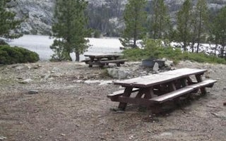
Nevada County, California
Faucherie
Overview
NOT CURRENTLY ACCEPTING RESERVATIONS.
Recreation
Facilities
Natural Features
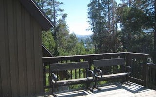
El Dorado County, California
Loon Lake Chalet
Overview
Loon Lake Chalet is situated next to Loon Lake in a granite bowl, and offers year-round, drive-to access for excellent backcount...
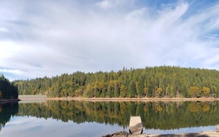
Foresthill, California
Shirttail Creek
Overview
Shirttail Campground is located on the north shore of Sugar Pine Reservoir, in the Tahoe National Forest, 15 miles from Foresthi...
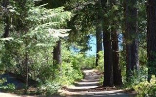
Foresthill, California
Giant Gap
Overview
Giant Gap Campground is located on the north shore of Sugar Pine Reservoir, in the Tahoe National Forest. It is just 15 miles fr...
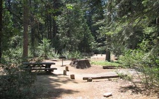
Wentworth Springs Road
Stumpy Meadows
Overview
Stumpy Meadows, on the Stumpy Meadows Reservoir, provides an enjoyable setting in a heavy conifer forest with easy access to an ...
Guides and stories
Quick links
- The best hiking trails in Auburn
- The best backpacking in Auburn
- The best camping in Auburn
- Top adventures in Auburn
Community
© 2023 The Outbound Collective - Terms of Use - Privacy Policy


