Markleeville
Top Spots
Curtz Lake and Summit Lake Loop
Markleeville, California
1.81 mi
/ 203 ft gain
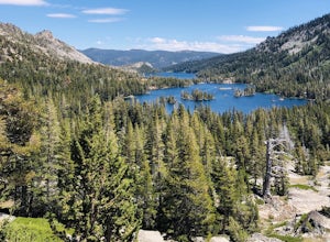
Curtz Lake and Summit Lake Loop is a loop trail that takes you by a lake located near Markleeville, California.
Grover Hot Springs State Park Waterfall Trail
Markleeville, California
2.28 mi
/ 59 ft gain
Grover Hot Springs State Park Waterfall Trail is an out-and-back trail that takes you by a waterfall located near Markleeville, California.
Grover Hot Springs to Sorensens via Charity Valley Trail to Burnside Lake Trail
Markleeville, California
9.83 mi
/ 2474 ft gain
Grover Hot Springs to Sorensens via Charity Valley Trail to Burnside Lake Trail is a point-to-point trail that takes you by a lake located near Markleeville, California.
Burnside Lake Via Grover Hot Springs
Markleeville, California
7.97 mi
/ 2549 ft gain
Burnside Lake Via Grover Hot Springs is an out-and-back trail that takes you by a lake located near Markleeville, California.
Sawmill Creek Trail
Markleeville, California
0.42 mi
/ 10 ft gain
Sawmill Creek Trail is an out-and-back trail that takes you through a nice forest located near Markleeville, California.
Monitor Pass Drive
Markleeville, California
17.58 mi
/ 2608 ft gain
Monitor Pass Drive is a point-to-point trail that takes you by a lake located near Markleeville, California.
Carson River Hot Spring
Markleeville, California
10.01 mi
/ 2224 ft gain
Carson River Hot Spring is an out-and-back trail that takes you by a hot springs located near Markleeville, California.
Barney Riley to Carson River Hot Springs
Markleeville, California
19.96 mi
/ 4708 ft gain
Barney Riley to Carson River Hot Springs is an out-and-back trail that takes you by a hot springs located near Markleeville, California.
Leviathan Mine OHV Road
Markleeville, California
17.05 mi
/ 1680 ft gain
Leviathan Mine OHV Road is a point-to-point trail that takes you by a river located near Markleeville, California.
Places to stay
Markleeville, California
Indian Creek Campground (Ca)
Overview
Indian Creek Campground is nestled in the eastern foothills of the Sierra Nevada between the California towns of Woodfords and M...
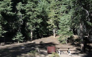
Alpine State Highway
Silver Creek
Overview
Silver Creek Campground is located near the town of Markleeville on scenic Highway 4. Visitors enjoy fishing various waterways i...
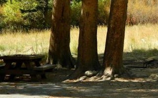
Kit Carson Campground Road
Kit Carson Campground
Overview
Nestled in a forest of Jeffrey pines and aspens, Kit Carson campground is perfect for tent camping and smaller RVs. The west for...
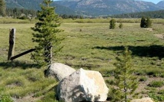
South Lake Tahoe, California
Hope Valley
Overview
Hope Valley Campground is located in its beautiful namesake valley at an elevation of 7,300 feet, just 40 minutes south of Lake ...
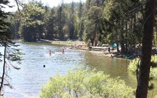
Arnold, California
(Lake Alpine) Silver Valley Campground
Overview
Silver Valley Campground is located in the Calveras Ranger District, at the east end of Lake Alpine Recreation Area in a timbere...
Guides and stories
Quick links
- The best hiking trails in Markleeville
- The best backpacking in Markleeville
- The best camping in Markleeville
- Top adventures in Markleeville
Community
© 2023 The Outbound Collective - Terms of Use - Privacy Policy


