Tulelake
Top Spots
Captain Jack's Stronghold: Captain Jack's Trail
Tulelake, California
0.73 mi
/ 66 ft gain
Captain Jack's Stronghold: Captain Jack's Trail is a loop trail that provides a good opportunity to see wildlife located near Tulelake, California.
Lava Beds National Monument Scenic Drive
Tulelake, California
9.58 mi
/ 938 ft gain
Lava Beds National Monument Scenic Drive is a point-to-point trail that provides a good opportunity to see wildlife located near Tulelake, California.
Hike Gillem's Bluff Trail in Lava Beds National Monument
Tulelake, California
4.5
1.5 mi
/ 393 ft gain
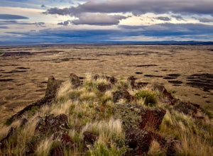
Start from the parking lot just past the entrance booth at the Lava Beds National Monument. It is a straight forward hike up to the top of the bluff about .75 miles. Great views of the lava flows and surrounding mountains. It is a great place to view the sunset behind Mt. Shasta from the top.
Gillem Bluff Historic Trail
Tulelake, California
1.48 mi
/ 397 ft gain
Gillem Bluff Historic Trail is an out-and-back trail that takes you past scenic surroundings located near Tulelake, California.
Black Crater Trail
Tulelake, California
0.49 mi
/ 36 ft gain
Black Crater Trail is an out-and-back trail where you may see wildflowers located near Tulelake, California.
Schonchin Butte Lookout Trail
Tulelake, California
1.5 mi
/ 436 ft gain
Schonchin Butte Lookout Trail is a loop trail where you may see beautiful wildflowers located near Tulelake, California.
Hike the Schonchin Butte Trail in Lava Beds National Monument
Tulelake, California
5.0
1.5 mi
/ 475 ft gain
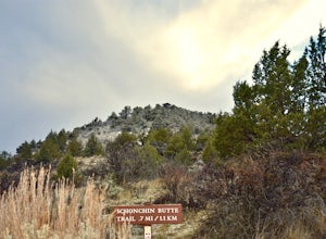
From the entrance booth of Lava Beds National Monument drive south. There will be a left hand turn labeled Schonchin Butte, take it. Drive down a dirt road about a mile to reach Schonchin Butte trailhead parking. It is less than a mile hike to the fire lookout with elevation gain of 475 feet. The trail is well maintained and has great views of the lava beds at every step. This is a great place ...
Descend Into Skull Cave of the Lava Beds National Monument
Tulelake, California
4.5
0.1 mi
/ -328.1 ft gain
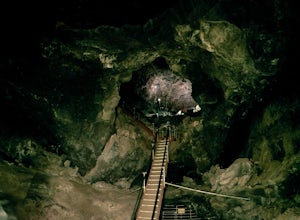
Once you reach the Lava Beds National Monument stop by the visitors center to pay your fees, grab a map, and empty your bladder. From there you will drive your car up the road from the visitors center to Skull Cave.The visitors center will give you map and answer any questions you have. From the visitors center you will exit and take slight right turn and then a left at the stop sign. Skull Cav...
Symbol Bridge And Big Painted Cave
Tulelake, California
1.86 mi
/ 115 ft gain
Symbol Bridge And Big Painted Cave is an out-and-back trail where you may see local wildlife located near Tulelake, California.
Places to stay
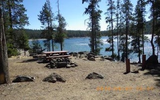
Usfs 44 N 75
Medicine Lake Recreation Area
Overview
The popular Medicine Lake Recreation Area and adjacent Medicine Lake are located in the Medicine Lake Highlands in northeastern ...
From $14 / night
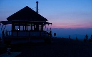
Siskiyou County, California
Little Mt. Hoffman Lookout
Overview
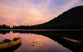
Little Mt. Hoffman Lookout was constructed in the 1920s and was used by the Forest Service on a regular basis until 1978. It is ...
From $75 / night
Forest Service Road #46N04
Juanita Lake Group Campsite
Overview
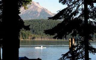
Juanita Lake campground offers a 50 person group campsite adjacent to Juanita Lake on the Klamath National Forest. The lake offe...
From $50 / night
Klamath Falls, Oregon
Sunset
Overview
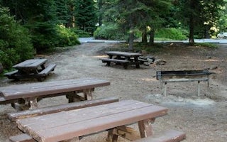
Sunset Campground is located on the banks of scenic Lake of the Woods, in close proximity to several wilderness areas, offering ...
Klamath Falls, Oregon
Rainbow Bay
Overview
Rainbow Bay sits on the banks of scenic Lake of the Woods in close proximity to several wilderness areas. This group picnic site...
Guides and stories
Quick links
- The best hiking trails in Tulelake
- The best backpacking in Tulelake
- The best camping in Tulelake
- Top adventures in Tulelake
Community
© 2023 The Outbound Collective - Terms of Use - Privacy Policy


