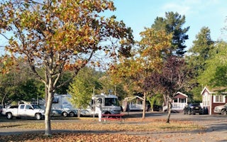
Whitethorn
Top Spots
Sinkyone Wilderness Segment- Lost Coast Trail
Whitethorn, California
27.12 mi
/ 7516 ft gain
Sinkyone Wilderness Segment- Lost Coast Trail is a point-to-point trail where you may see beautiful wildflowers located near Whitethorn, California.
Chinquapin Loop on The Lost Coast
Whitethorn, California
4.0
7.87 mi
/ 2159 ft gain
I did this hike the day before setting out on a backpacking trip along the northern section of The Lost Coast Trail and it was a fantastic warm up hike. The Chinquapin Loop is a loop off of The Lost Coast Trail along Chemise Mountain, near the start of the southern section of the LCT.
You can start this hike from three different trailheads. My friend and I were camping at the Nadelos Campgroun...
Jackass Creek via Lost Coast Trail
Whitethorn, California
23 mi
/ 8071 ft gain
The Lost Coast is infamous. For its name alone draws visitors from around California and the world. A 26-mile stretch of coast, road less, with a wall like mountain range just yards from the ocean and beach. But with the Lost Coast being what it is, there is a lesser-known, yet equally stunning hiking option that still entails the spirit and adventure of the coast yet only a stones throw to the...
Black Sands Beach on the Lost Coast
Whitethorn, California
5.0
0.5 mi
Black Sands Beach and all of the Lost Coast is almost indescribable in its ruggedness and beauty. Black Sands Beach sits along the southern portion of of the famous Lost Coast Trail, and is accessible by one of the two roads that go across the King Range to the ocean. From 101 in Garberville, head into Redway and then take the Shelter Cove Road. Follow the signs to Black Sands Beach.
The other...
King's Peak from Shelter Cove
Whitethorn, California
2.0
30.85 mi
/ 6204 ft gain
After parking at Shelter Cove and securing a camping permit ($3 per night in the backcountry) follow the bear prints down the coastline for 5 miles, keeping in mind that the tide devours the beach every 12 hours. Parts of the beach become impassable at high tide.
Camp overnight at Buck Creek, the idyllic conjunction of a rushing mountain stream and the gently crashing ocean, before heading nor...
Lost Coast - King Range Loop
Whitethorn, California
40.52 mi
/ 7740 ft gain
Lost Coast - King Range Loop is a loop trail where you may see wildflowers located near Whitethorn, California.
Lost Coast Central Stretch
Whitethorn, California
8.92 mi
/ 167 ft gain
Lost Coast Central Stretch is a point-to-point trail where you may see wildflowers located near Whitethorn, California.
Horse Mountain Creek Trail
Whitethorn, California
12.94 mi
/ 3248 ft gain
Horse Mountain Creek Trail is an out-and-back trail that is moderately difficult located near Whitethorn, California.
Paradise Royale
Whitethorn, California
11.44 mi
/ 2349 ft gain
Paradise Royale is a loop trail where you may see wildflowers located near Whitethorn, California.
Places to stay
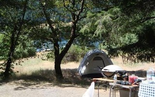
1S51
Fir Cove Campground
Overview
Fir Cove Campground is located on beautiful Ruth Lake, a 13,800-acre jewel situated in the thickly forested mountains of norther...
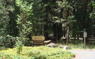
Lower Mad River Road
Mad River Campground
Overview
Mad River Campground is located on banks of its namesake river, about two miles south of Ruth Lake in the thickly forested mount...
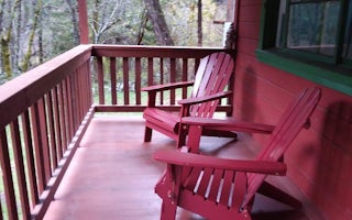
Summer Home Road
Forest Glen Guard Station
Overview
This historic guard station offers a unique stay in the oldest Forest Service building on the Shasta-Trinity National Forest. Th...
Quick links
- The best hiking trails in Whitethorn
- The best backpacking in Whitethorn
- The best camping in Whitethorn
- Top adventures in Whitethorn
Community
© 2023 The Outbound Collective - Terms of Use - Privacy Policy

