Cedar Creek
Top Spots
Hike Bluffs And Bottoms Trail
Cedar Creek, Texas
4.8 mi
/ 429 ft gain
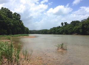
Bluff and Bottoms Trail is a 4.8 mile loop hike that takes you by a river located near Cedar Creek, TX.
Hike the Southern Loop Trail
Cedar Creek, Texas
5 mi
/ 550 ft gain
The trail is used only for hiking or trail running, and dogs are allowed if kept on leash. McKinney Roughs Nature Park is scenic and popular!
This hike is located on Highway 71 in between Austin and Bastrop. There is a $4 entrance fee for McKinney Roughs Nature Park. The trails in this park are heavily used, so get there early! There is no Southern Loop trail on the McKinney Roughs hiking map, ...
Hike Riverside Trail To Bluff Trail Loop
Cedar Creek, Texas
3.2 mi
/ 295 ft gain
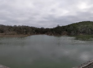
Riverside Trail to Bluff Trail Loop is a 3.2 mile loop hike that takes you by a river located near Cedar Creek, TX.
Hike Pine Ridge Loop
Cedar Creek, Texas
4 mi
/ 295 ft gain
Pine Ridge Loop is a 4 mile loop hike that takes you by a river located near Bastrop, TX.
Hike Mc Kinney Roughs Loop Trail
Cedar Creek, Texas
4.4 mi
/ 449 ft gain
McKinney Roughs Loop Trail is a 4.4 mile loop hike that takes you by a river located near Elgin, TX.
Hike Bobcat Ridge Loop
Cedar Creek, Texas
4.1 mi
/ 318 ft gain
Bobcat Ridge Loop is a 4.1 mile loop hike that takes you by a river located near Austin, TX.
Pine Ridge Overlook
Cedar Creek, Texas
4.5
2.95 mi
Pine Ridge Overlook is one of the longest hikes at McKinney Roughs Nature Area offering 2.7 miles through piney woods that overlook valleys and offer glimpses of the Colorado River. McKinney Roughs is considered a nature and learning park and requires a $5 entrance fee per-person at the Visitor Center.
The hike to the Overlook is considered easy on the trail map but can quickly become challen...
Hike the Southeast Metropolitan Park Primitive Trail
Garfield, Texas
4.0
2.17 mi
/ 223 ft gain
The Southeast Metropolitan Park Primitive Trail is a quick 2.3 mile hike, perfect for families, hikers, and trail runners. This trail is dog friendly, and is open for use year round. This hike is lightly trafficked, so this is a great place to go if you are looking for some solitude.
Bike the Lost Pines of Bastrop
Bastrop, Texas
13 mi
/ 823 ft gain
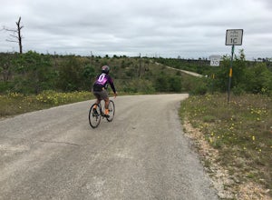
In the fall of 2011, the most destructive fire in Texas history burned through Bastrop, just 45 minutes east of Austin, TX. This makes for an interesting, and eerie, bike ride. As you ride through the park, you can see the extent of damage the fire caused. It's also amazing to see the vegetation bounce back several years later.
There are 2 state parks here, Bastrop State Park and Buescher State...
Places to stay
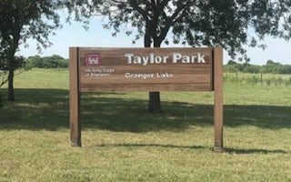
Taylor, Texas
Taylor
Overview
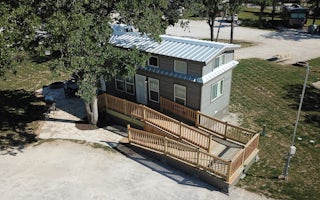
Taylor Campground, on the banks of Granger Lake, is an excellent lakeside destination for families of all ages. The park pleases...
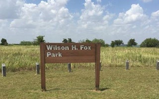
Granger, Texas
Wilson H Fox
Overview
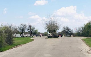
Wilson H. Fox Park attracts a variety of campers looking for a fun-filled escape. In springtime, the campground is a colorful pl...
Granger, Texas
Willis Creek
Overview
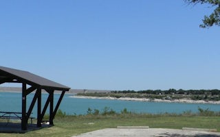
Willis Creek is the ideal place for campers looking for a variety of accommodations. A group campground and five equestrian site...
Georgetown, Texas
Jim Hogg Park
Overview
Jim Hogg Park sits on the north side of Georgetown Lake in the Hill Country of Texas, about 25 miles north of Austin. Recreation...
Guides and stories
Quick links
- The best hiking trails in Cedar Creek
- The best backpacking in Cedar Creek
- The best camping in Cedar Creek
- Top adventures in Cedar Creek
Community
© 2023 The Outbound Collective - Terms of Use - Privacy Policy


