Deschutes County
Top Spots
Lava Cast Forest
La Pine, Oregon
1.01 mi
/ 69 ft gain
Lava Cast Forest is a loop trail where you may see beautiful wildflowers located near La Pine, Oregon.
Explore the Lava River Cave
Bend, Oregon
5.0
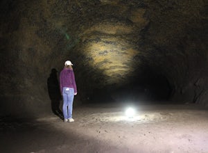
Located just 12 miles South of Bend and 5 miles Northeast of Sunriver in the Deschutes National Forest, the Lava River Cave is a unique experience the whole family can enjoy. To get there from Bend, drive South on Highway 97 for about 10 miles until you see a large sign for the Lava Lands Visitor Center. You can stop at the visitor's center, or take the fork to the left, following the signs for...
Lava Lands Visitor Center Loop
Bend, Oregon
1 mi
/ 125 ft gain
Lava Lands Visitor Center Loop is a loop trail where you may see beautiful wildflowers located near Bend, Oregon.
Lava Butte from Lava Lands Visitor Center
Bend, Oregon
3.82 mi
/ 712 ft gain
Lava Butte from Lava Lands Visitor Center is an out-and-back trail that takes you past scenic surroundings located near Sunriver, Oregon.
Hidden Forest and Arnold Ice Cave Trail
Bend, Oregon
0.86 mi
/ 13 ft gain
Hidden Forest and Arnold Ice Cave Trail is an out-and-back trail where you may see beautiful wildflowers and is good for all skill levels located near Bend, Oregon.
Explore Arnold Ice Caves
Bend, Oregon
4.0
0.95 mi
/ 26 ft gain
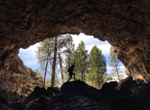
...Deep in the central Oregon Forest is a cave that is surrounded by Juniper Trees, Ponderosa Pines and the landscape of a secret volcanic underground world! This short hike is located roughly 12 miles East of Bend, and makes for an epic adventure for all to enjoy.
A little history on the cave...it was created by a basalt lava flow roughly 80,000-90,000 years ago. It was originally called "Cro...
Mountain Bike Lava Lands Blackrock Trail to Benham Falls
Bend, Oregon
Blackrock Trail starts at the Lava Lands Visitor Center, which is about a 5-mile drive south of Bend on Highway 97. You can park at the Lava Lands Visitor Center and then take the trail marked Sun-Lava Trail. This will take you to Blackrock Trail, which you will see as a turn-off to the right about 0.3 miles in.Blackrock Trail is a 4.2 mile long singletrack trail. It is relatively flat dirt wit...
Pictograph Cave Trail
Bend, Oregon
3.32 mi
/ 144 ft gain
Pictograph Cave Trail is a loop trail that provides a good opportunity to view wildlife located near Bend, Oregon.
Boyds Cave
Bend, Oregon
0.7 mi
/ 66 ft gain
Boyds Cave is a loop trail where you may see local wildlife located near Bend, Oregon.
Places to stay
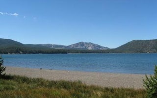
La Pine, Oregon
Cinder Hill Campground
Overview
Cinder Hill Campground sits at the edge of beautiful East Lake in the caldera of Newberry Volcano. The area is part of the Newbe...
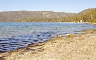
Little Crater Campground
Little Crater Campground
Overview
Situated on the edge of the beautiful Paulina Lake, Little Crater Campground is conveniently located within Newberry National Mo...

La Pine, Oregon
East Lake Campground
Overview
East Lake Campground sits at the edge of beautiful East Lake in the caldera of Newberry Volcano. Most sites in this campground a...
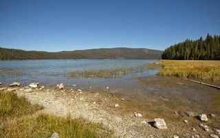
La Pine, Oregon
Paulina Lake Campground
Overview
Paulina Lake Campground is located 6,350 ft. above sea level in the caldera of Newberry Volcano, on the edge of the beautiful Pa...
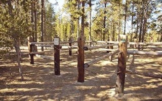
La Pine, Oregon
Chief Paulina Horse Camp
Overview
Chief Paulina Horse Camp is the only horse campground located in Newberry National Volcanic Monument in Deschutes National Fores...
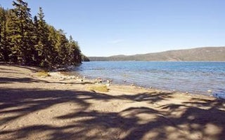
La Pine, Oregon
Newberry Group Camp Site
Overview
Boasting some of central Oregon's most spectacular scenery, Newberry Group Campground is the only exclusive group site area with...
Guides and stories
Quick links
- The best hiking trails in Deschutes County
- The best backpacking in Deschutes County
- The best camping in Deschutes County
- Top adventures in Deschutes County
Community
© 2023 The Outbound Collective - Terms of Use - Privacy Policy

