Iowa
Top Spots
Explore the Maquoketa Caves
Maquoketa, Iowa
4.5
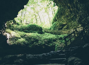
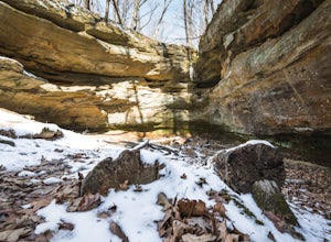
From the Maquoketa Caves State Park office, near the parking area, hike north for access to 8 of the 16 caves in the park. These caves include Wide Mouth Cave, Dug Out Cave, Twin Arch Cave, Hernando's Hideaway, Up-N-Down Cave, Widow Cave, Match Cave, and Upper Dancehall Cave. Other attractions in the northern half of the park include the Natural Bridge and the northern section of Racoon Creek.I...
Explore Columbus Junction's Swinging Bridge
Columbus Junction, Iowa
4.5
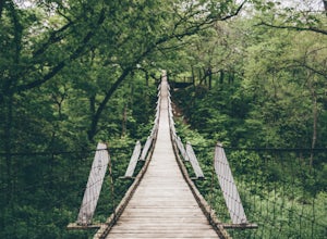
The Swinging Bridge is one of the main attractions in Columbus Junction, Iowa. The highway runs straight through town. As you drive into town you will see multiple signs about the bridge. About half-way through town you will take a left, and the bridge is only a few yards away. It is free to walk across the bridge. The bridge is a fun place to hang out with friends and relax. We tied a hammock...
Photograph the Briggs Woods Waterfalls
Webster City, Iowa
5.0
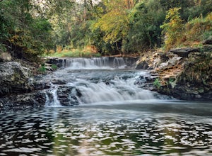
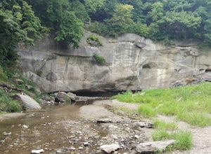
Briggs Wood Park Waterfalls are Located 2.5 miles South of Webster City off Highway 17. It is very peaceful watching the water cascade over the rocks and into the stream below. If you follow the water down stream it will lead you to the Boone River.I arrived at the falls before sunrise because I wanted to have the soft light of the rising sun come from behind the falls. I photographed the fall...
Hike to the Lake Macbride Waterfall
Solon, Iowa
3.7
2 mi
Where's the fun in driving right up to your scenic destination? Here's how we had a more adventurous day at the lake by hopping off the beaten path: Just as you enter the park from County Road F16 coming out of the small town of Solon, IA you will see a small, grass parking lot on your right (this lot has been marked by the pin on the map below). On the opposite side of the street is the entran...
Hike the Horseshoe Bluff Trail
Dubuque, Iowa
5.0
1.6 mi
/ 208 ft gain
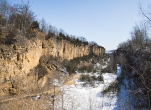
To get to the trailhead within Mines of Spain, drive to the Dubuque area, turn off of Highway 61/151, and on to Highway 52. From Highway 52, turn left onto Mines of Spain Road until you find the parking lot. Once you park your car, go up the wooden stairs to the trail. From here you can go either way, as it is a loop trail. I would suggest starting to the left. Once you take the left at the top...
Hike to Devil's Punch Bowl, WIldcat Den SP
Muscatine, Iowa
1.3 mi
/ 235 ft gain
Wild Cat Den State Park is located between Blue Grass, Iowa and Muscatine, Iowa, just south of the Quad Cities. If traveling on Highway 22, look for Wild Cat Den Road. If you are coming from Highway 61, look for Vail Road, and then turn left on to New Era road, which will lead into the park.
Park in the north lot (this is where the pin is located). From the parking lot, the trail splits, howev...
Hike Ledges State Park's Canyon Road
Boone, Iowa
5.0
6.5 mi
/ 700 ft gain
From the main gravel parking loop at the top, begin your hike on the main paved road. Note: This road is currently closed to vehicle traffic due to heavy water damage on the road. This road also closes to vehicle traffic during the winter. However, it is always open to foot traffic. Follow the paved road .5 miles down to the first creek crossing. Pea's Creek will flow right under the main road,...
Fire Point Loop Trail
Harpers Ferry, Iowa
5.0
1.78 mi
/ 492 ft gain
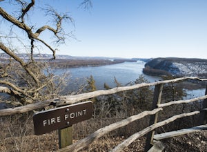
To get to Effigy Mounds National Monument travel to the town of Marquette, Iowa. If you drive north of town about three miles, the road will curve to the left, and the park entrance will be on the right.
After you park, you may take a stop in the Visitor Center to grab a map or any souvenirs. From the Visitor Center, follow the deck to the left side of the building to the bridge.
Once you c...
Hike the McFarland Park Loop
Ames, Iowa
5 mi
/ 300 ft gain
After parking in the main lot by the Story County Conservation building, you can choose between two starting points. I recommend starting on the left side of the parking lot at the gravel road and closed yellow gate, as this is a better point for the end of your loop. Hike about 200 yards along this primary road through tall native grasses and beautiful wildflowers. Be sure to look for plentifu...
Places to stay
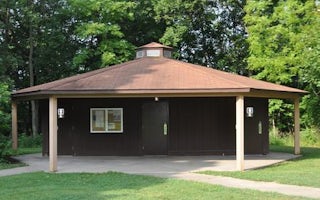
Iowa City, Iowa
East Overlook Day Use Area
Overview
East Overlook Day Use Area is a day-use facility located on the east side of the Coralville Lake Dam. Coralville Lake is a multi...
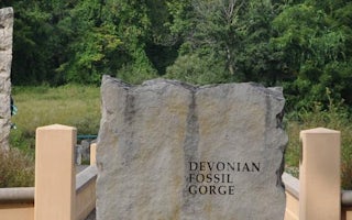
Iowa City, Iowa
Tailwater West Day Use Area
Overview
Tailwater West Day Use Area is a day-use facility located along the tailwaters of the Coralville Lake Dam. Coralville Lake is a ...
Iowa City, Iowa
Tailwater West Campground
Overview
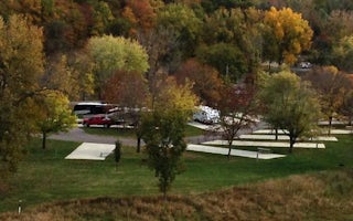
The Tailwater West Campground is located within the Dam Complex at the Coralville Lake Project. The Coralville Lake Project is a...
Iowa City, Iowa
Linder Point Campground
Overview
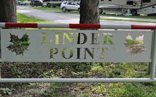
The Linder Point Campground is located within the Dam Complex at the Coralville Lake Project. The Coralville Lake Project is a m...
Iowa City, Iowa
West Overlook Campground
Overview
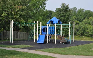
The West Overlook Campground is located within the Dam Complex at the Coralville Lake Project. The Coralville Lake Project is a ...
Quick links
- The best hiking trails in Iowa
- The best backpacking in Iowa
- The best camping in Iowa
- Top adventures in Iowa
More Iowa destinations
Community
© 2023 The Outbound Collective - Terms of Use - Privacy Policy
