Los Altos
Top Spots
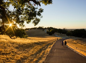
Bol Park Bike Path
Palo Alto, California
2.66 mi
/ 82 ft gain
Bol Park Bike Path is a loop trail where you may see wildflowers located near Stanford, California.
Rhus Ridge and Creek Trail Loop
Los Altos Hills, California
6.3 mi
/ 1512 ft gain
Rhus Ridge and Chamise Trail is a loop trail where you may see wildflowers located near Los Altos, California
Rhus Ridge and Chamise Trail
Los Altos Hills, California
10.1 mi
/ 1555 ft gain
Rhus Ridge and Chamise Trail is a point-to-point trail where you may see wildflowers located near Los Altos, California
Rhus Ridge Trail
Los Altos Hills, California
1.7 mi
/ 626 ft gain
Rhus Ridge Trail is an out and back trail where you may see wildflowers located near Los Altos, California
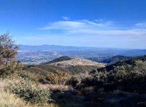
Hike up Black Mountain (Rhus Ridge Trail)
Santa Clara County, California
9.8 mi
/ 2404 ft gain
Just outside of Los Altos is a very long ridge of mountains, one of which is Black Mountain.
This is a very dry hike, with no tree canopy, so it can get very hot! Be aware that this can make the hike feel a lot more difficult with the sun beating down on you. Follow Rhus Ridge Trail to Black Mountain Trail, then continue on Black Mountain Trail to reach the summit. One way to the summit is alm...
Rhus Ridge to Mary Davey and Chamise Loop Trail
Los Altos Hills, California
2.6 mi
/ 751 ft gain
Rhus Ridge to Mary Davey and Chamise Loop Trail is an out and back trail where you may see wildflowers located near Los Altos, California
Sylvan Park Loop
Mountain View, California
0.41 mi
/ 33 ft gain
Sylvan Park Loop is a loop trail that is good for all skill levels located near Mountain View, California.
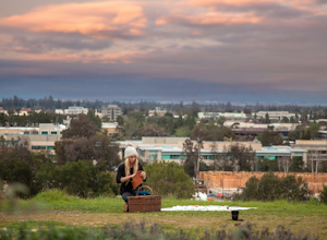
Sunset Picnic at Kite Hill
Stanford, California
4.0
Kite Hill is nothing more than what the name describes. A simple ascent less than 100 feet in elevation. But that 100 feet is all you need to feel like you discovered a little escape from the buzz below.To get there, you can park directly at the base of Kite Hill along Peter Coutts Rd and simply follow the trail to the top. If you are interested in making more of a walk out of it, there are tra...
Stanford Dish Loop
Stanford, California
4.4
3.67 mi
/ 472 ft gain
If you live in the Palo Alto area and are looking for a place to hike or run, The Dish is a close, and great way to get that exercise. Located right on the corner of Stanford Ave and Junipero Serra, you'll see that small gated entrance right when you drive on by. As far as parking goes, you're left with finding parking along Stanford Avenue or the elementary school lot further down the street. ...
Places to stay

San Francisco, California
Aquatic Park Cove San Francisco Maritime Nhp
Overview
Aquatic Park Cove is a vibrantly urban harbor that mimics a natural anchorage and is located on the Pacific shores of one of Ame...
From $10 / night

Sausalito, California
Bicentennial Campground
Overview
Bicentennial Campground is in an ideal location in the Marin Headlands surrounded by a grove of cypress trees. The campground is...
From $20 / night
Guides and stories
Quick links
- The best hiking trails in Los Altos
- The best backpacking in Los Altos
- The best camping in Los Altos
- Top adventures in Los Altos
Community
© 2023 The Outbound Collective - Terms of Use - Privacy Policy


