Orinda
Top Spots
De La Veaga Loop
Orinda, California
6.67 mi
/ 1703 ft gain
De La Veaga Loop is an out-and-back trail where you may see wildflowers located near Orinda, California.
Bay Area Ridge and Nature Path Loop
Orinda, California
7 mi
/ 1604 ft gain
Bay Area Ridge and Nature Path Loop is a loop trail that takes you by a river located near Orinda, California
Round Top, Volcanic and Skyline Trail Loop
Oakland, California
3.54 mi
/ 666 ft gain
Round Top, Volcanic and Skyline Trail Loop is a loop hike where you may see beautiful wild flowers located in Sibley Volcanic Regional Preserve near Orinda, California
San Pablo Reservoir Road Biking Loop
Orinda, California
18.79 mi
/ 1736 ft gain
San Pablo Reservoir Road Biking Loop is a loop trail that takes you by a lake located near Orinda, California.
Bay Area Ridge, Round Top Loop, and Volcanic Trail Loop
Oakland, California
3.04 mi
/ 587 ft gain
Bay Area Ridge, Round Top Loop, and Volcanic Trail Loop is a loop trail where you may see local wildlife located near Orinda, California.
Lomas Cantadas to Skyline
Orinda, California
11.22 mi
/ 2418 ft gain
Lomas Cantadas to Skyline is an out-and-back trail that provides a good opportunity to see wildlife located near Orinda, California.
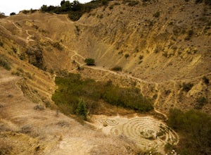
Sibley Volcanic Trail Labyrinths
Oakland, California
3.5
2 mi
/ 144 ft gain
From Skyline Blvd, pull into the staging area for Sibley Volcanic Regional Preserve, you'll see the sign. Parking here is usually easy to find. You'll find an unstaffed visitor center with a restroom, park maps and informational displays featuring the history and geology of the park.
Sibley is a 31-mile trail system, leading along the ridgeline between Wildcat Canyon and Anthony Chabot Park.
...
Hike the Sibley Volcanic Trail
Oakland, California
3.8 mi
/ 757 ft gain
The Sibley Volcanic Trail is a 3.8 mile loop that is great for all skill levels. The trail is best used from June - December, and is shared by kids, trail runners, mountain bikers, and hikers. Watch for wildlife and wildflowers.
There is little to no shade, so wear sunscreen and bring sun protection. Dogs are allowed off leash here.
Side-O Trail
Orinda, California
2.43 mi
/ 535 ft gain
Side-O Trail is an out-and-back trail where you may see beautiful wildflowers located near Berkeley, California.
Places to stay

San Francisco, California
Aquatic Park Cove San Francisco Maritime Nhp
Overview
Aquatic Park Cove is a vibrantly urban harbor that mimics a natural anchorage and is located on the Pacific shores of one of Ame...
From $10 / night

Sausalito, California
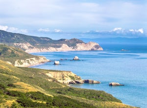
Bicentennial Campground
Overview
Bicentennial Campground is in an ideal location in the Marin Headlands surrounded by a grove of cypress trees. The campground is...
From $20 / night
Point Reyes Station, California
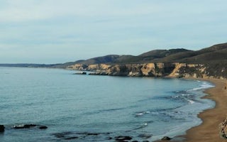
Point Reyes National Seashore Campground
Overview
From its thunderous ocean breakers crashing against rocky headlands and expansive sand beaches to its open grasslands, brushy hi...
From $20 / night
Napa, California
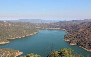
Oak Shores Day Use Area (Ca)
Overview
Nestled between Blue Ridge and Cedar Roughs east of Napa Valley, Lake Berryessa provides ample public recreation opportunities. ...
Guides and stories
Quick links
- The best hiking trails in Orinda
- The best backpacking in Orinda
- The best camping in Orinda
- Top adventures in Orinda
Community
© 2023 The Outbound Collective - Terms of Use - Privacy Policy


