Scottsdale
Top Spots
Pinnacle Peak Trail
Scottsdale, Arizona
4.4
3.87 mi
/ 896 ft gain
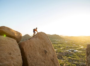
Pinnacle Peak is a 3.8 mile out-and-back hike along a beautifully groomed trail with a moderate gain of ~1,000ft. This distinctive 600ft granite summit can be seen from most of the surrounding valley and offers spectacular views of the McDowell Mountains, iconic Four Peaks, Granite Mountain and the Cone Mountains. This serene slice of Sonoran Desert is home to a wide range of wildlife including...
Gateway to Bell Pass
Scottsdale, Arizona
7.65 mi
/ 1768 ft gain
Gateway to Bell Pass is an out-and-back trail where you may see wildflowers located near Scottsdale, Arizona.
Saguaro Loop and Nature Trail
Scottsdale, Arizona
1.61 mi
/ 194 ft gain
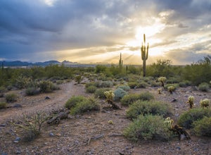
Saguaro Loop and Nature Trail is a loop trail located near Scottsdale, Arizona.
Horseshoe and Desert Parks Loop
Scottsdale, Arizona
1.69 mi
/ 118 ft gain
Horseshoe and Desert Parks Loop is a trail where you may see wildflowers located near Fountain Hills, Arizona.
Gateway, Prospector, Thompson Peak Road Trail
Scottsdale, Arizona
16.48 mi
/ 2825 ft gain
Gateway, Prospector, Thompson Peak Road Trail is an out-and-back trail where you may see wildflowers located near Scottsdale, Arizona.
Gateway Trail to Windgate Pass
Scottsdale, Arizona
7.31 mi
/ 1437 ft gain
Gateway Trail to Windgate Pass is a loop trail where you may see wildflowers located near Scottsdale, Arizona.
Gateway Loop
Scottsdale, Arizona
4.5
4.32 mi
/ 764 ft gain
The Gateway Trailhead is one access point into the McDowell Sonoran Conservancy in Scottsdale and is my favorite “Gateway” into the treasure trove of great trails and vistas in the McDowell Mountains. The Gateway Trailhead provides great accessibility for a quick hike or trail run at the end of the workday.
The Gateway Loop Trail is 4.5 miles long and has 650 feet of elevation gain, which mak...
Gateway, Bell Pass, and Windgate Loop Trail
Scottsdale, Arizona
9.23 mi
/ 2011 ft gain
Gateway, Bell Pass, and Windgate Loop Trail is a loop trail where you may see wildflowers located near Scottsdale, Arizona.
Hike Bell's Pass
Scottsdale, Arizona
7.3 mi
/ 1700 ft gain
Starting at 1800 ft elevation, the trail begins at Gateway Loop. This part of the trail will start off pretty flat and be more crowded than Bell's Pass depending on the day and time you are hiking. If you enjoy running this would be the time to do it before you reach Bell's Pass and the incline in elevation begins. Along this path on the right will be Scottsdale on the left the mountainside. Ab...
Places to stay
Cave Creek, Arizona
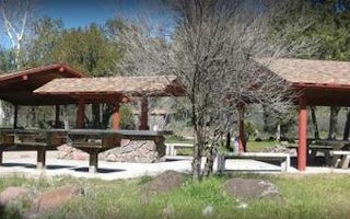
Cave Creek Group Site
Overview
Cave Creek Group Site is located 20 miles north of Cave Creek and Carefree, Arizona. It is a historic campground constructed in ...
Tonto Basin, Arizona
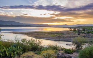
Cholla Campground
Overview
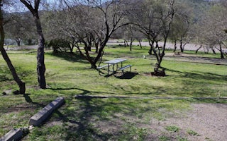
Cholla Campground at Roosevelt Lake, is one of several campgrounds on the shores of the largest lake/reservoir located entirely ...
Roosevelt, Arizona
Burnt Corral Campground
Overview
Burnt Corral Campground and Recreation Area (elevation 1914') is about 5.8 miles south of Roosevelt Dam along the Apache Trail (...
Crown King, Arizona
Turney Gulch Group
Overview
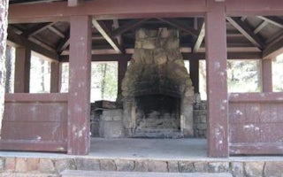
Turney Gulch is a remote, scenic location for groups of up to 100 people to rest under the stars and towering pines of Prescott ...
Crown King, Arizona
Horsethief Cabin
Overview
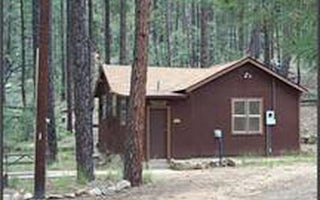
Horsethief Cabin is situated in a clearing of Ponderosa pines at an elevation of over 6,000 feet in the Bradshaw Mountains of th...
Guides and stories
Quick links
- The best hiking trails in Scottsdale
- The best backpacking in Scottsdale
- The best camping in Scottsdale
- Top adventures in Scottsdale
Community
© 2023 The Outbound Collective - Terms of Use - Privacy Policy
