British Columbia
About
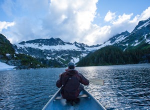
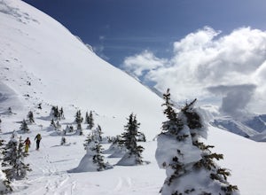
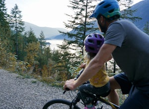
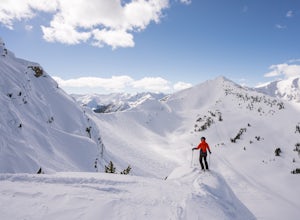
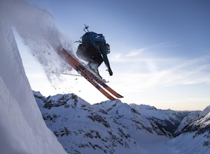
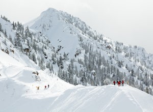
Explore the lush rainforests, vast mountain ranges, and wild backcountry of British Columbia. Whether you're skiing along the Powder Highway, climbing in the Bugaboos, or venturing into the endless and untamed landscapes of Northern BC, there are adventures to be found everywhere.
Top Spots
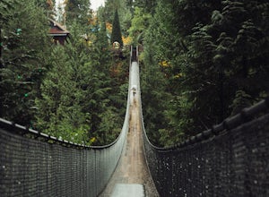
Explore the Capilano Suspension Bridge
North Vancouver, British Columbia
3.7
This is a great place to visit to get a feeling for the outdoors of Canada. The bridge is a little scary when a lot of people are walking across, but it is well worth the look.Measuring 140 m (460 ft) long, the bridge crosses over the Capilano River in the District of North Vancouver, British Columbia, Canada, and sits 70 m (230 ft) above the river.
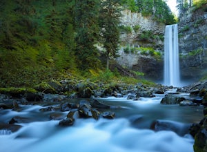
Explore Brandywine Falls
Whistler, British Columbia
4.4
0.6 mi
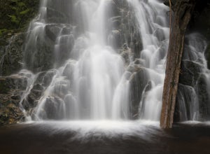
Brandywine Falls is a spectacular 70 metre waterfall. It is best seen from the viewpoint which also presents some marvelous views of Daisy Lake and the surrounding mountains. But you can also get to the bottom with a bit of scrambling down the side of the cliff.Brandywine Falls is located along the Sea To Sky Highway (Highway #99) between Squamish and Whistler. Located just 11km (7 miles) south...
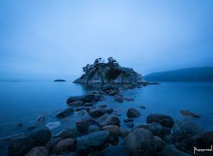
Explore WhyteCliff Park, West Vancouver
West Vancouver, British Columbia
4.4
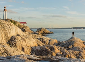
Escape to the vanishing horizon of the Pacific Ocean, where time is measured by the rhythm of waves.Located near West Vancouver's Horseshoe Bay neighbourhood, Whytecliff Park is home to more than 200 marine animal species and is one of the first Marine Protected Areas in Canada. You're almost guaranteed to see sea lions here!The park offers numerous short hiking trails, sheltered beaches, tenni...
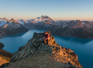
Panorama Ridge
Whistler, British Columbia
4.8
17.17 mi
/ 5289 ft gain
Take the Sea to Sky Highway (HWY 99) north from Vancouver up towards Whistler. Turn off the highway about 30 minutes before Whistler Village onto Daisy Lake Road. There are signs along the highway indicating the Garibaldi Lake turn off. The trailhead is located at the end of Daisy Lake Road. There is day and overnight parking available here ($10 for overnight parking).
The trail is very well m...
Backpack to Lake Lovely Water
Squamish, British Columbia
3.7
6.24 mi
/ 3714 ft gain
This adventure is one of the best kept secrets in the Whistler area, let alone, British Columbia. The trailhead for Lake Lovely Water is located on the west side of the Squamish River. There is no road access to the trailhead so you need to cross the river via boat. Make reservations with the jet boat operation prior to the trip. There is overnight parking in the parking lot across from The Wat...
Hike to Sawblade Falls
Coquitlam, British Columbia
3.9
To reach the trailhead, follow Harper Road until you reach the Port Coquitlam Gun Club, then park along the side of the road. Walk past the yellow gate and take the first trail to your left. About 10 minutes down the trail, you will reach a gravel logging road. Take an immediate left down the path, Woodland Walk Trail.Continue into the forest until you reach a clearing where new power lines are...
Hike to Norvan Falls
North Vancouver, British Columbia
4.3
8.7 mi
The trail starts in Lynn Headwaters Regional Park.
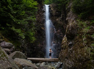
This is a fantastic day hike that give you just enough of a challenge but isn't too long. It's about 14km to the norvan waterfalls and back ( 7km each way) and it totally work the walk. There is very minimal gain on this hike.
The first bit of the trail is along the lower Lynn Loop which is a wide gravel road. Make sure to look for the old reli...
Explore Lighthouse Park
West Vancouver, British Columbia
4.5
To get to Lighthouse Park, head westbound along Marine Drive in West Vancouver. As Marine Drive continues past little shops and businesses, it will begin to narrow and the road will wind around the coastline. Continue past Caufield Cove Marina and watch for the Lighthouse Park sign on your left. Turn left on Beacon Lane and continue straight until you reach the parking lot. The trail begins at ...
Hike St Mark's Summit
West Vancouver, British Columbia
4.4
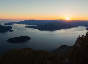
From the Cypress Mountain downhill parking lot, head north toward the nearby chairlift and look for the Howe Sound Crest Trail sign. The trail follows alongside the several ski runs until a sign that points to the right to the Howe Sound Crest Trail. Follow this trail uphill until it merges onto a wider ski run and veer to the left towards a large green water tower. Just before the tower, go ri...
Places to stay
Guides and stories
Quick links
- The best hiking trails in British Columbia
- The best backpacking in British Columbia
- The best camping in British Columbia
- Top adventures in British Columbia
More British Columbia destinations
Community
© 2023 The Outbound Collective - Terms of Use - Privacy Policy
